View on map
© MapLibre | OpenStreetMap contributors
1%
2%
4%
6%
8%
10%
12%
15%
20%

Côte de Jalhay from Verviers

3.0
3 reviews | Elevation profile | 16 photos
Tips nearby
Côte de Jalhay from Verviers
Your achievable time
Calculating based on your best performances...
Relaxed
Maximum
W/kg
W/kg
W/kg
Analyze your climbing performance
Detailed insight into your climbing performance & automatically check off climbs
Based on your best performances.
Your best attempt:
Number of attempts:
Elevation profile Côte de Jalhay from Verviers

Statistics

Difficulty points 93
Length 2.3 mi
Average gradient 4.5%
Steepest segment 8.2%
Total ascent 564 ft
Feedback about this climb?
Show climbs nearby Export to GPS device

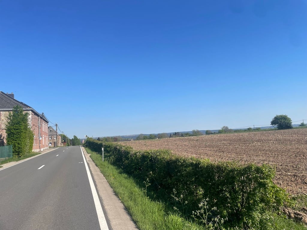
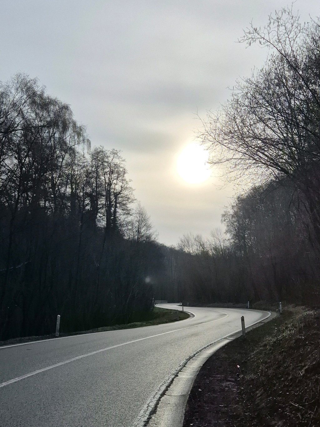
Côte de Jalhay from Verviers is a climb in the region Valleys of the Vesdre, de l'Amblève et de l'Ourthe. It is 2.3 mi long and bridges 564 ft of vertical ascent with an average gradient of 4.5%, resulting in a difficulty score of 93. The top of the ascent is located at 1250 ft above sea level. Climbfinder users shared 3 reviews of this climb and uploaded 16 photos.

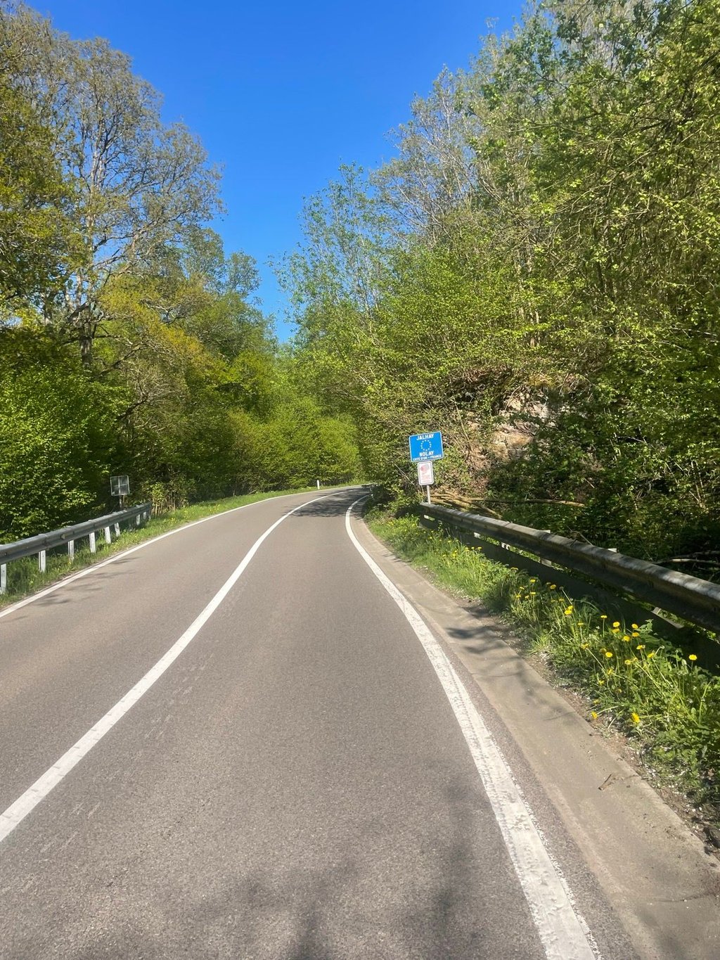
Road names: Rue de Jalhay & N672

3.0 by Jeppie14
This is an automatic translation, the original language is: Dutch.
Best route from Verviers towards Jalhay (where there is a beautiful nature reserve!). Good tarmac, beautiful scenery, just a bit busy.... read more

Photos (16)

Côte de Jalhay from Verviers
transparant thumb
transparant thumb

Your uploads (max 4)

Welcome! Please activate your account if you would like to share something. Look for the verification email in your inbox.

If you want to upload your photos, you need to create an account. It only takes 1 minute and it's completely free.

  • Receive free climbfinder goodies for your reviews & photos.
  • Create a bucket list and check off conquered climbs.
  • Add missing climbs.
Continue with GoogleContinue with Google Continue with FacebookContinue with Facebook Continue with AppleContinue with Apple Sign up with email
By signing up you agree to our terms of service and confirm that you have read our privacy & content policy.

Reviews (3)

5.0
4.0
3.0
2.0
1.0
Jeppie14
1 y 3.0
This is an automatic translation, the original language is: Dutch. Show original

Best route from Verviers towards Jalhay (where there is a beautiful nature reserve!). Good tarmac, beautiful scenery, just a bit busy.

De beste route vanuit Verviers richting Jalhay (waar zich een prachtig natuurgebied bevindt!). Goed asfalt, mooie omgeving, alleen een beetje druk.

Côte de Jalhay from Verviers
Dashboard
JurneSleddens
2 y 3.0
This is an automatic translation, the original language is: Dutch. Show original

A climb that could have had more in it. The road surface is really perfect and rolls well. The percentages friendly but still a climb. Unfortunately very busy with cars's (when I was there anyway) and they drive quite fast. If it had been quieter, it would have been a nice climb with all those turns and the nice road surface.

Een beklimming waar meer in had gezeten. Het wegdek is echt perfect en rolt goed. De percentages vriendelijk maar wel een beklimming. Helaas erg druk met auto's (toen ik er was in ieder geval) en ze rijden er vrij hard. Mocht ie rustiger zijn geweest dan was het een mooie beklimming met al die bochtjes en het lekkere wegdek.

Dashboard
Fedor
2 y 3.0
This is an automatic translation, the original language is: Dutch. Show original

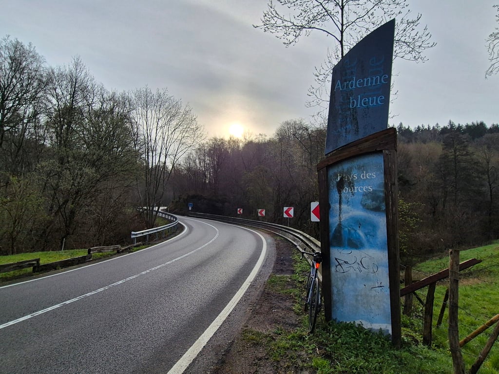
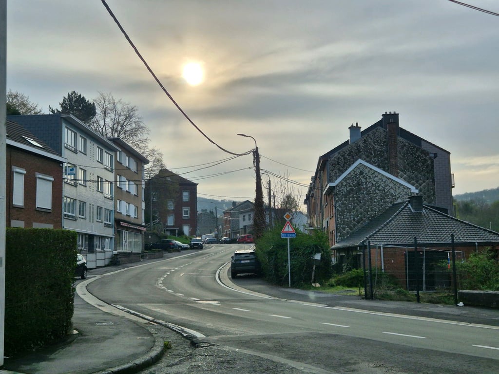
The connecting road from Verviers to Jalhay and thus a wider road. In the built-up area, it still climbs leisurely with a few swings. Then a short flatter stretch and then you enter the forest and don't get out for the time being. At the same time, the percentage goes up considerably and this continues for a long time, curve after curve (and there are lots of curves). When you come out of the forest, it finally levels off and a few more straights follow until the end. Nice route, especially the twisty part in the forest. There wasn't much traffic but unfortunately some had driver aspirations.

De verbindingsweg van Verviers naar Jalhay en dus een bredere weg. In de bebouwde kom stijgt het nog relaxed met enkele slingers. Daarna even een vlakker stukje en daarna ga je het bos en kom je er voorlopig niet meer uit. Tegelijkertijd gaat het percentage flink omhoog en dat blijft langere tijd, bocht na bocht (en er zijn véél bochten), doorgaan. Als je het bos uitkomt vlakt het eindelijk af en volgen nog enkele rechte stukken tot het eind. Mooi traject, vooral het bochtige deel in het bos. Er was niet veel verkeer maar sommigen hadden helaas wel coureursaspiraties.

Côte de Jalhay from Verviers
Dashboard

Climbing times

5 mph 00:28:20
7 mph 00:20:04
9 mph 00:15:38
12 mph 00:11:45

Road surface condition

100% 0% 0%
Based on 1 vote
Share your knowledge. What was the road condition during your ascent?

Traffic

0% 0% 100%
Based on 1 vote
Your experience counts. How much traffic did you encounter during the climb?

Frequently Asked Questions

Côte de Jalhay can be cycled from 5 sides. Vervierfontaine from Beau-Vallon is the most popular side, but the summit can also be reached via Vervierfontaine from Polleur, Vervierfontaine from Jehanster, Vervifontaine from Louveterie & Côte de Jalhay from Verviers.

You don't need special gearing for Côte de Jalhay from Verviers. The slope isn't long or steep enough to require much shifting down. You can conquer this climb on power alone. However, a compact gearing system with a smallest front chainring of 34 and largest rear sprocket of 28 or 30 is always nice if you enjoy cycling uphill. This helps maintain a smooth cadence.

Côte de Jalhay from Verviers is a 4th-category climb. A sprint to the top is usually not an option, and untrained riders will definitely feel it in their legs. For trained cyclists, it is a great training climb.

Côte de Jalhay from Verviers is 2.3 mi long.

The average gradient of Côte de Jalhay from Verviers is 4.5%.

Côte de Jalhay from Verviers has a steepest segment with an average gradient of 8.2%.

The summit of Côte de Jalhay from Verviers is at 1250 ft.

At a slow pace of 5 mph, it takes about 00:28:20 to climb Côte de Jalhay from Verviers. At 7 mph the time is 00:20:04, and at 9 mph 00:15:38. For the fastest cyclists, 00:11:45 is an achievable time.

Côte de Jalhay from Verviers is located in the region Valleys of the Vesdre, de l'Amblève et de l'Ourthe in Belgium.

This page is better in the app

Climbfinder app
Climbfinder
(Free)
Open