Tips nearby


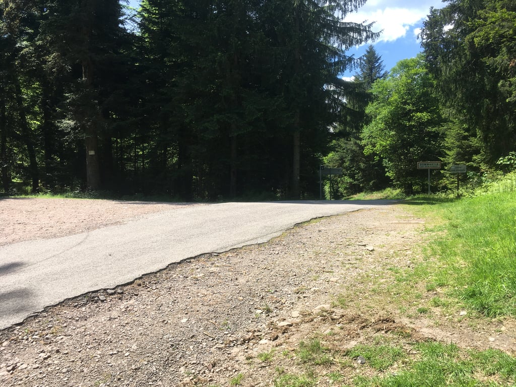
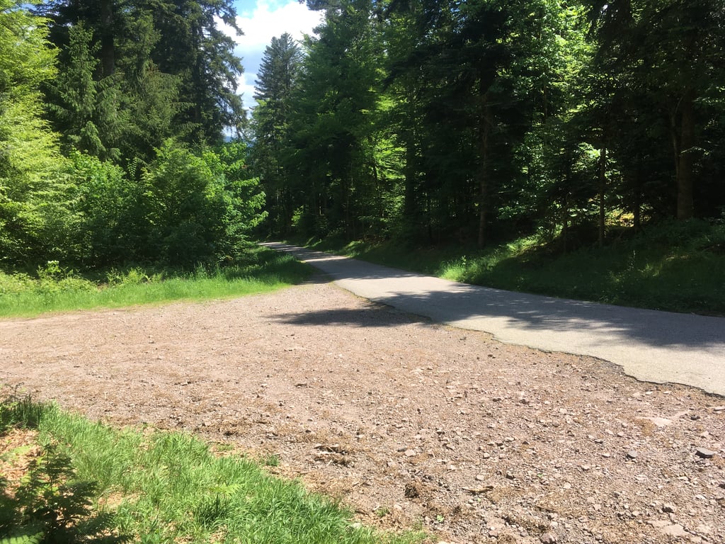
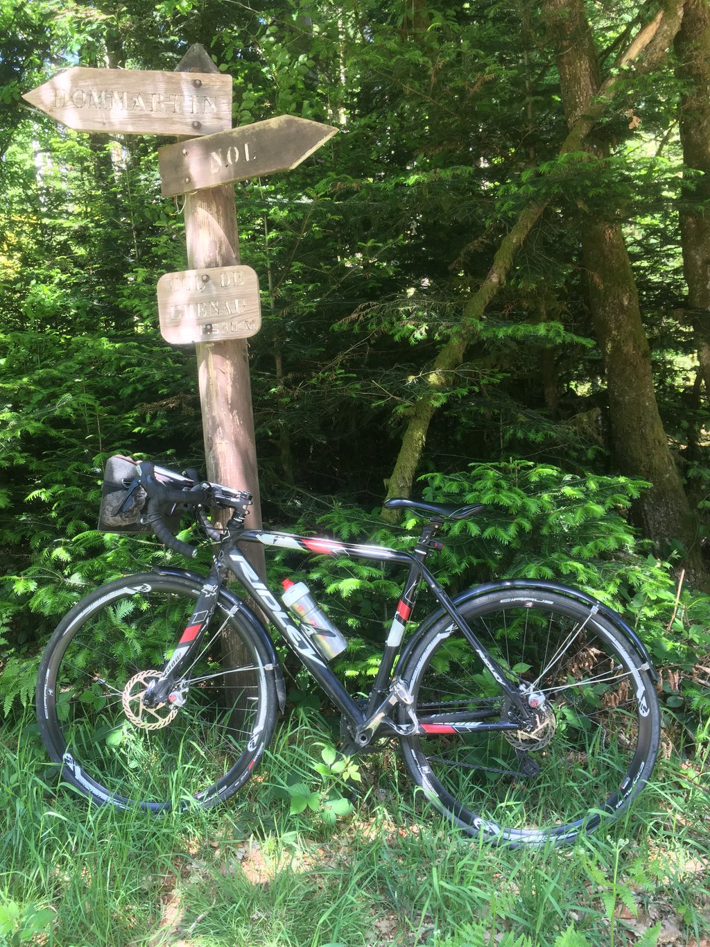
Col de Chenau from Vagney is a climb in the region Vosges. It is 1 mi long and bridges 427 ft of vertical ascent with an average gradient of 8.1%, resulting in a difficulty score of 122. The top of the ascent is located at 1755 ft above sea level. Climbfinder users shared 1 review/story of this climb and uploaded 3 photos.
Road name: Route de Chenau
3.0 by TomThis is an automatic translation, the original language is: Dutch.I did this climb to cut off a loop from the—beautiful—separate bike path “La Voie Verte” that runs through the Moselotte and Moselle valleys. A real calf-burner on a narrow but decent little road that was especially tough toward the end. There’s little traffic, and it’s manageable for experienced cyclists. You can do it even without experience, but it’ll still leave your legs burning for a while.... read more
Welcome! Please activate your account if you would like to share something. Look for the verification email in your inbox.
If you want to upload your photos, you need to create an account. It only takes 1 minute and it's completely free.
 Continue with Google
 Continue with Facebook
 Continue with Apple
Sign up with email
Continue with Apple
Sign up with email
I did this climb to cut off a loop from the—beautiful—separate bike path “La Voie Verte” that runs through the Moselotte and Moselle valleys. A real calf-burner on a narrow but decent little road that was especially tough toward the end. There’s little traffic, and it’s manageable for experienced cyclists. You can do it even without experience, but it’ll still leave your legs burning for a while.
Deze beklimming gedaan om een lus af te snijden van het - mooie - afgescheiden fietspad "La Voie Verte" dat door de dalen van de Moselotte en de Moselle loopt. Stevige kuitenbijter op een smal maar deftig wegje dat vooral naar het einde toe het meeste prikte. Weinig verkeer en goed te doen voor de geoefende fietser. Zonder ervaring lukt het ook, maar het gaat toch even branden.
| 5 mph | 00:12:03 |
| 7 mph | 00:08:31 |
| 9 mph | 00:06:38 |
| 12 mph | 00:04:59 |
This page is better in the app