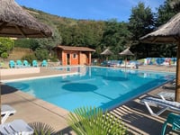
Col de Buisson is a climb in the region Ardèche. It is 8.3 mi long and bridges 1381 ft of vertical ascent with an average gradient of 3.1%, resulting in a difficulty score of 184. The top of the ascent is located at 3012 ft above sea level. Climbfinder users shared 2 reviews of this climb and uploaded 1 photo.
Road name: D273
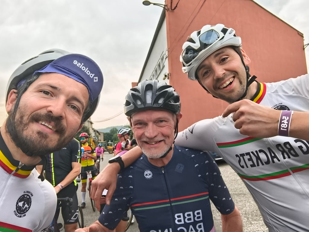
4.0 by N_MThis is an automatic translation, the original language is: Dutch.First climb and last descent from the cyclosportive Ardèchoise. Fortunately, it was shady on a hot day. The descent is very fun due to the many turns and excellent road surface.... read more
Welcome! Please activate your account if you would like to share something. Look for the verification email in your inbox.
If you want to upload your photos, you need to create an account. It only takes 1 minute and it's completely free.
First climb and last descent from the cyclosportive Ardèchoise. Fortunately, it was shady on a hot day. The descent is very fun due to the many turns and excellent road surface.
Eerste beklimming en laatste afdaling uit de cyclosportive Ardèchoise. Gelukkig was het er schaduwrijk op een warme dag. De afdaling is zeer leuk door de vele bochten en het uitstekende wegdek.
Beautiful col. The first col also in the Ardéchoise, a 3 or 4-day climb that every cyclist should have done once. In Pailharès (a bit after the half) it is a bit steeper, but in general it is an easy climb.
You can also climb the col from 2 other sides:
- from Lamastre to Nozières (not too difficult, about 12 km long)
- from the valley between Rochepaule and Désaignes (steep start, but from the village of Molières it is more manageable). This is also the last climb in the Ardéchoise.
Prachtige col. De eerste col ook in de Ardéchoise, een 3- of 4-daagse die elke fietsliefhebber ooit eens gedaan moet hebben. In Pailharès (iets na de helft) is het iets steiler, maar over het algemeen is dit een vrij makkelijke beklimming.
Je kan de col ook beklimmen langs 2 andere kanten:
- vanuit Lamastre tot Nozières (niet te moeilijk, zo'n 12 km lang)
- vanuit het dal tussen Rochepaule en Désaignes (steile begin, maar vanaf het dorpje Molières is het beter doenbaar). Dit is ook de laatste beklimming in de Ardéchoise
| 5 mph | 01:40:35 |
| 7 mph | 01:11:12 |
| 9 mph | 00:55:29 |
| 12 mph | 00:41:41 |
This page is better in the app