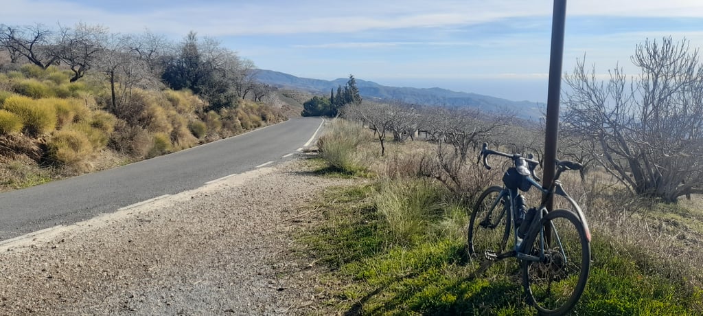
Cerro del Quejigo via Torvizcón is a climb in the region Andalusia. It is 7.5 mi long and bridges 2507 ft of vertical ascent with an average gradient of 6.3%, resulting in a difficulty score of 671. The top of the ascent is located at 4209 ft above sea level. Climbfinder users shared 2 reviews of this climb and uploaded 8 photos.
Road names: Carretera de Torvizcón a Laroles & Carretera de Lanjarón a Almería por Ugíjar
5.0 by olsThis is an automatic translation, the original language is: English.It is not easy to reach - it starts far away from everything, in a sleepy village that is the last place to stock up on food and water along the way. Just above Torvizcón you are brutally punished, experiencing gradients close to 20%. After you begin to believe that you can make it there is a series of tough hairpins that try to break you and your chain. But the worst comes after them, around 5kms after leaving Torvizcón - the straight section is so relentlessly steep that I had to get off t... read more

Welcome! Please activate your account if you would like to share something. Look for the verification email in your inbox.
If you want to upload your photos, you need to create an account. It only takes 1 minute and it's completely free.
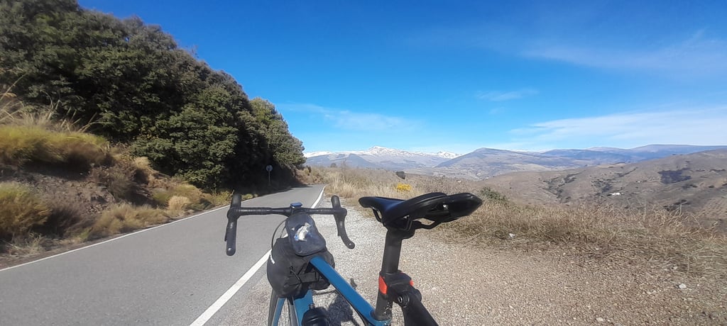
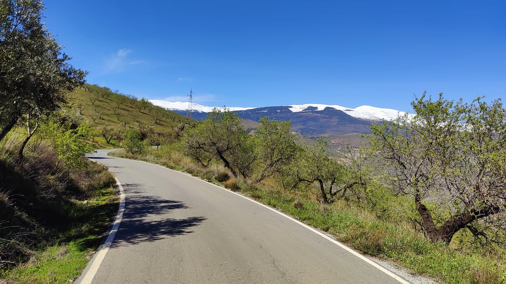
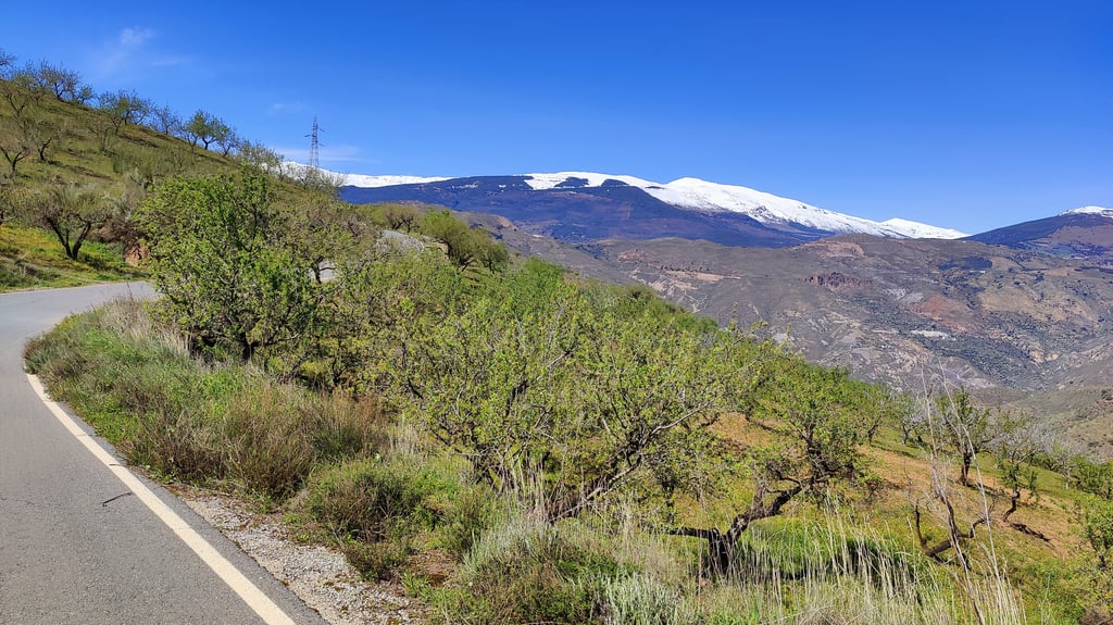
Fantastic climb. The road is perfectly smooth, and traffic is almost nonexistent. During the entire ascent, only two cars passed me. There are some fairly steep sections, and it's certainly a demanding climb, but I wouldn't say it's particularly difficult. It's definitely worth doing. The views, like everywhere in the area, are phenomenal.
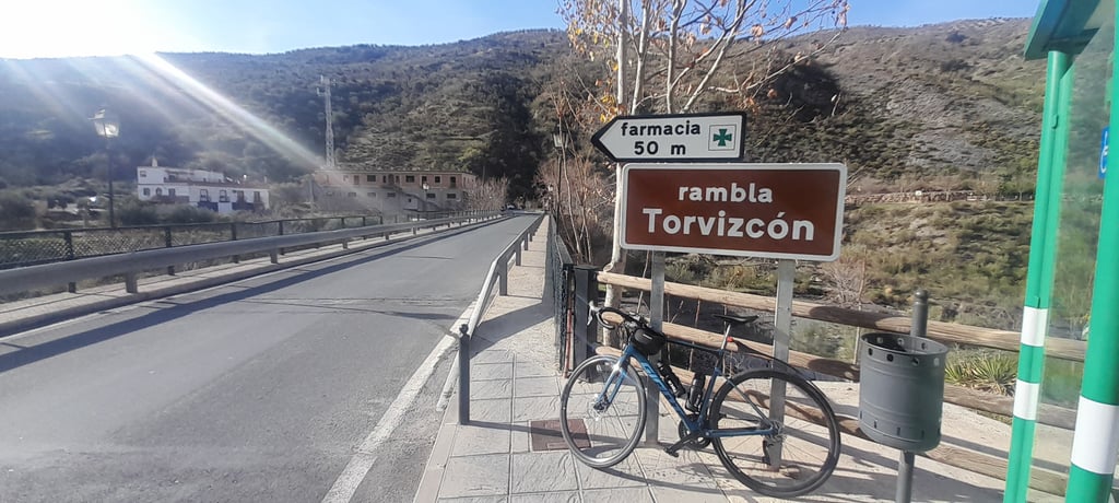
It is not easy to reach - it starts far away from everything, in a sleepy village that is the last place to stock up on food and water along the way. Just above Torvizcón you are brutally punished, experiencing gradients close to 20%. After you begin to believe that you can make it there is a series of tough hairpins that try to break you and your chain. But the worst comes after them, around 5kms after leaving Torvizcón - the straight section is so relentlessly steep that I had to get off the bike and push it for a moment. The only such place in the area that defeated me. The last three kilometers are a walk in the park, leading you to an intersection - I suggest turning right to Haza del Lino to get a few more vertical meters.
Great views, perfect road surface, absolutely no traffic - no one will hear your cries of pain.
| 5 mph | 01:30:19 |
| 7 mph | 01:03:57 |
| 9 mph | 00:49:50 |
| 12 mph | 00:37:26 |
This page is better in the app