Boshuisweg from Gortel is a climb in the region Kroondomein Het Loo. It is 1.2 mi long and bridges 112 ft of vertical ascent with an average gradient of 1.7%, resulting in a difficulty score of 8. The top of the ascent is located at 210 ft above sea level. Climbfinder users shared 4 reviews of this climb and uploaded 12 photos.
This is an automatic translation, the original language is: Dutch.
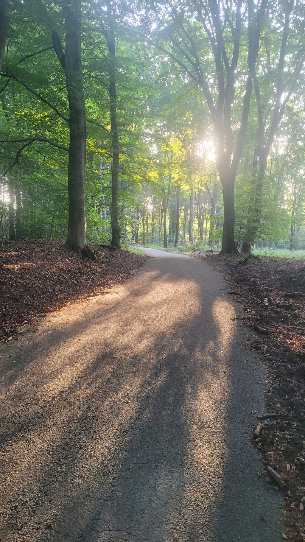
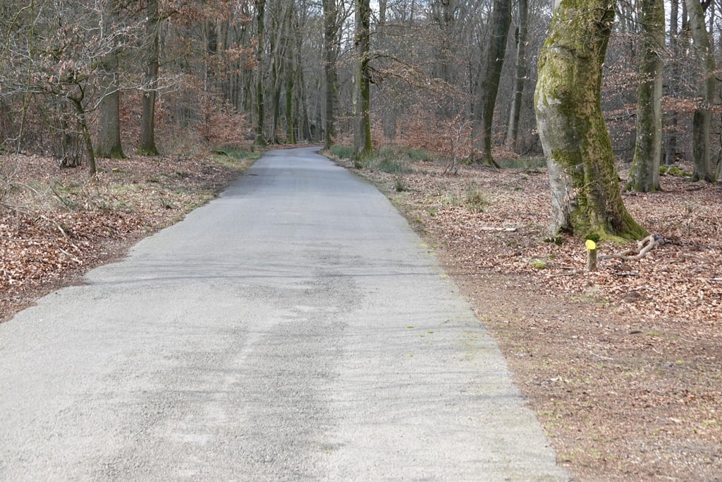
Beautiful stretch where (on Sunday morning) I got a kind of alone-in-the-world feeling. You start the climb by passing a fence via a piece of gravel lying next to the road. Halfway up, you actually pass a residential house and some other buildings. It is an easy climb with a reasonable road surface. Only at the end do the percentages rise a bit, but by then it's over. I turned around after the summit and descended it again....read more
Photos (12)
Welcome! Please activate your account if you would like to share something. Look for the verification email in your inbox.
This is an automatic translation, the original language is: Dutch.
Show original
Beautiful stretch where (on Sunday morning) I got a kind of alone-in-the-world feeling. You start the climb by passing a fence via a piece of gravel lying next to the road. Halfway up, you actually pass a residential house and some other buildings. It is an easy climb with a reasonable road surface. Only at the end do the percentages rise a bit, but by then it's over. I turned around after the summit and descended it again.
Mooi stuk waarbij ik (op zondag ochtend) een soort alleen op de wereld gevoel kreeg. Je start de klim door een hek te passeren via een stuk grind dat naast de weg ligt. Halverwege passeer je warempel een woonhuis en nog wat andere gebouwen. Het is een makkelijke klim met een redelijk wegdek. Pas op het eind lopen de percentages wat op, maar dan is hij alweer voorbij. Ik ben na de top omgedraaid en heb hem weer afgedaald.
This is an automatic translation, the original language is: Dutch.
Show original
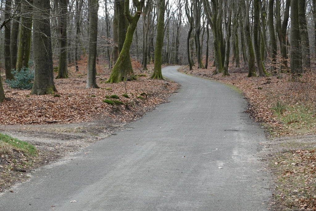
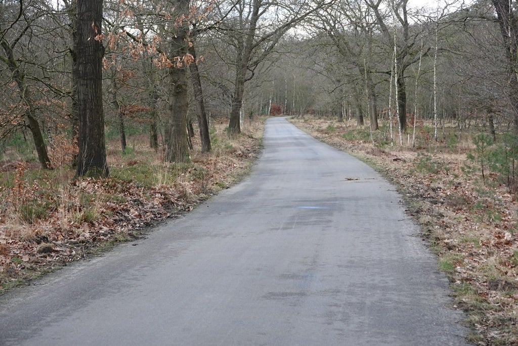
In the beginning, the road barely climbs at all but further on, the percentage war more varied so you are really climbing. In the process, the asphalt road winds through a beautiful forest. A little after the climb, the road turns into a good gravel cycle path that is also fine to ride on a road bike.
In het begin stijgt de weg amper maar verderop gaat het percentage war meer variëren zodat je echt aan het klimmen bent. Daarbij slingert de asfaltweg door een fraai bos. Iets na de klim gaat de weg over in een goed gravelfietspad die ook met een racefiets prima te rijden is.
This is an automatic translation, the original language is: Dutch.
Show original
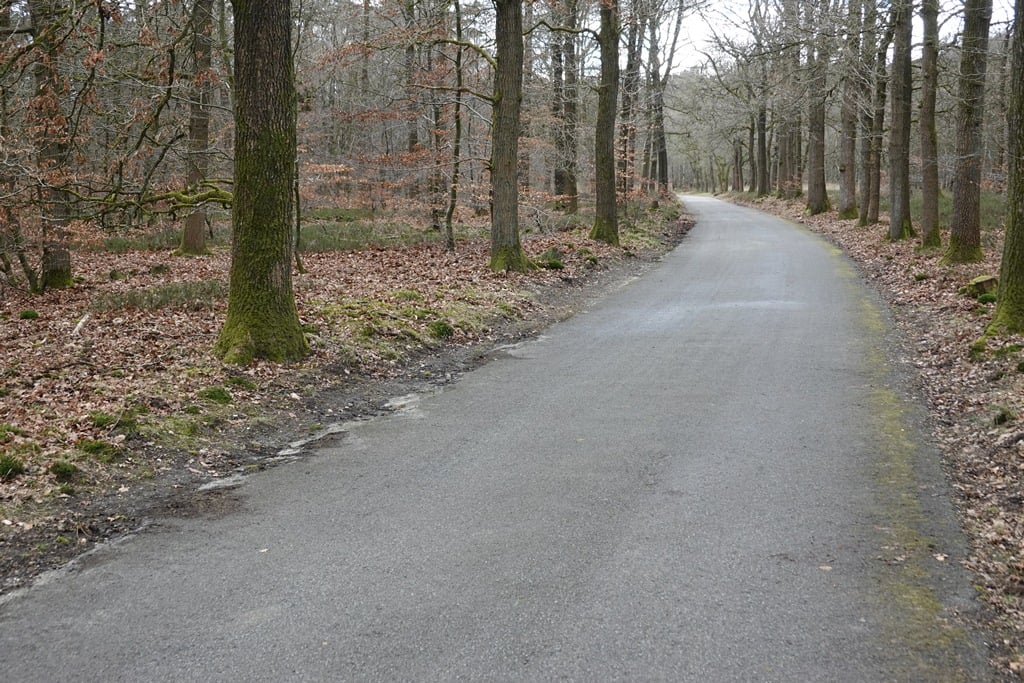
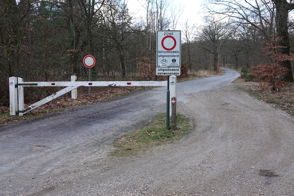
Quiet climb in the middle of the forest. The paved road stops at the end, so at most you'll encounter gravel bikes or mtb riders. Bigger is the chance of some wildlife, so pay a bit of attention.
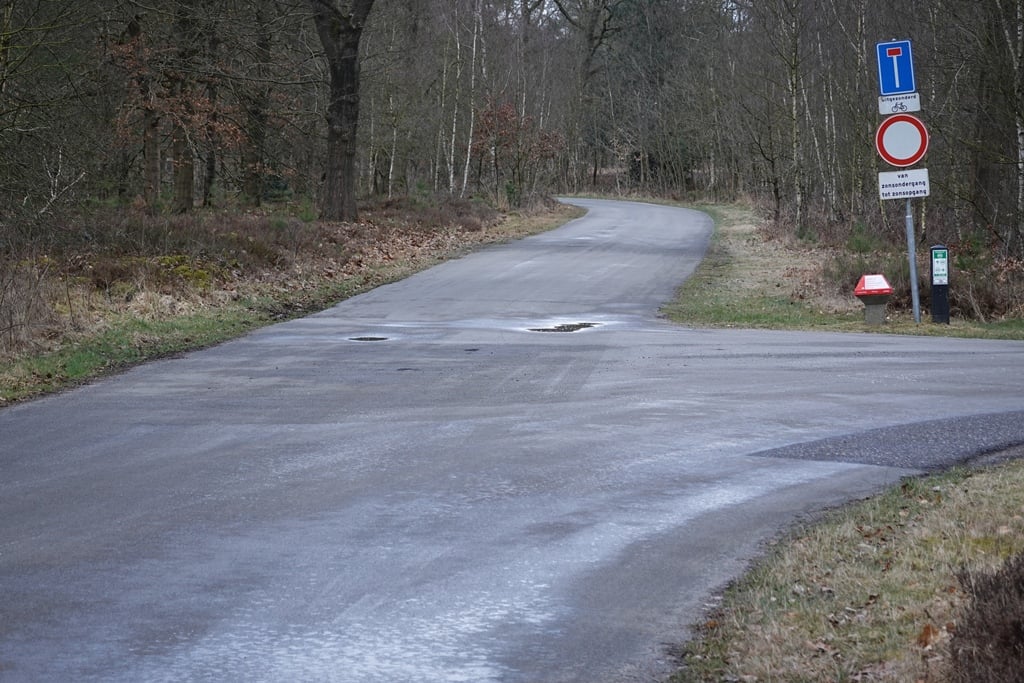
In terms of climbing, it's not much of a climb at all, but it's a nice bit. Tarmac moderate, traffic absent. Nice climb to do the pole road afterwards (on a gravel bike)!
Rustig klimmetje midden in het bos. De verharde weg stopt aan het einde, dus je komt hooguit een gravelbikes of mtb-er tegen. Groter is de kans op wat wild, dus let een beetje op.
Qua klim stelt het niet zoveel voor allemaal, maar het is een mooi stukje. Asfalt matig, verkeer afwezig. Mooie klim om daarna de paalweg te doen (op een gravelbike)!
You don't need special gearing for Boshuisweg from Gortel. The slope isn't long or steep enough to require much shifting down. You can conquer this climb on power alone. However, a compact gearing system with a smallest front chainring of 34 and largest rear sprocket of 28 or 30 is always nice if you enjoy cycling uphill. This helps maintain a smooth cadence.
Boshuisweg from Gortel is not tough enough to be assigned a mountain category. This means that even untrained cyclists can reach the top without any problems on this climb.
Boshuisweg from Gortel is 1.2 mi long.
The average gradient of Boshuisweg from Gortel is 1.7%.
Boshuisweg from Gortel has a steepest segment with an average gradient of 3.7%.
The summit of Boshuisweg from Gortel is at 210 ft.
At a slow pace of 5 mph, it takes about 00:14:44 to climb Boshuisweg from Gortel. At 7 mph the time is 00:10:26, and at 9 mph 00:08:07. For the fastest cyclists, 00:06:06 is an achievable time.