| 8 hairpin turns |
| #60 toughest climb of La Maurienne |
| #58 most elevation gain of La Maurienne |
| #52 longest climb of La Maurienne |
| #81 average steepest climb of La Maurienne |
Bonvillard from Aiton is a climb in the region La Maurienne. It is 5 mi long and bridges 1568 ft of vertical ascent with an average gradient of 6%, resulting in a difficulty score of 405. The top of the ascent is located at 2441 ft above sea level. Climbfinder users shared 3 reviews of this climb and uploaded 15 photos.
Road names: D 102 & D 69
3.0 by sergenavetatThis is an automatic translation, the original language is: French.A classic climb from Aiton , well known to local cyclists. Even if it's not very long, it's still demanding on the first part of 5.4km to the route des Combes as the average percentage is 8.2% , the gradient is always between 7.5 and 8.5% sometimes above, I didn't meet the 100M at 16.8%. There are then 2km of slight downhill and then the last 500m a little steeper to reach the heart of the small village of Aiton. To get a magnificent view of Les Bauges just opposite and t... read more

Welcome! Please activate your account if you would like to share something. Look for the verification email in your inbox.
If you want to upload your photos, you need to create an account. It only takes 1 minute and it's completely free.
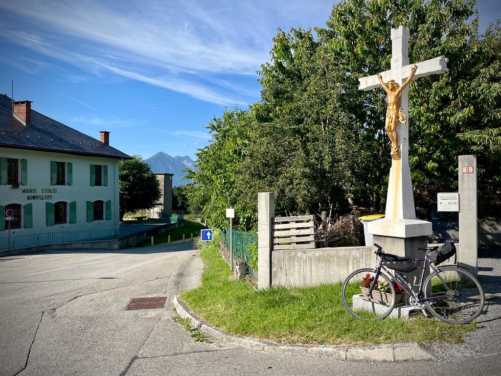
Bonvillard, its huge, bizarre, almost Stalinist central square, its bronze Christ, its faded red Renault 4, its faded fountain, its green town hall-school, its forgotten farms, its quads...
It's a pretty serious climb.
And then, two-thirds of the way through, you go back down for two kilometers...
The road surface is very good.
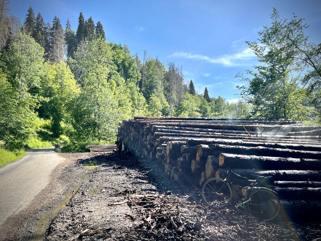
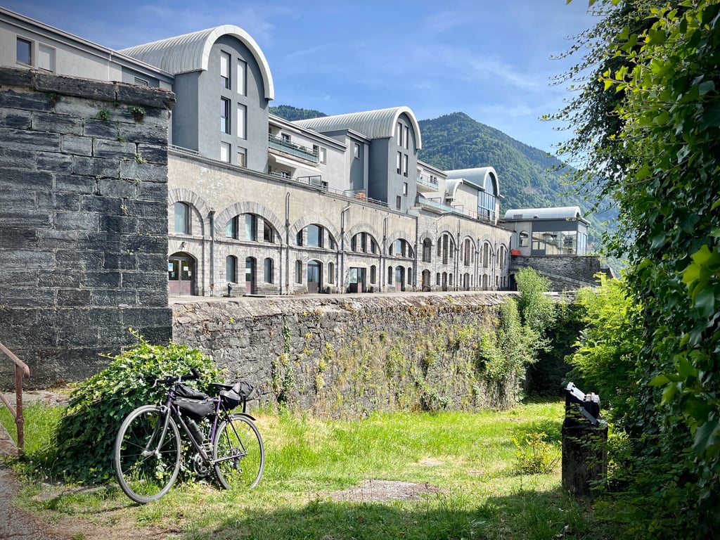
Along the way, a fort restored by drunken architects, a forest with no particular charm and more quads. It's Sunday. What else is there to do in Bonvillard?
The whole point of coming here is to be able to climb up to Le Champeny. This climb is a lot more fun.
Bonvillard, son énorme place centrale bizarre, presque stalinienne, son Christ qui bronze, sa Renault 4 rouge passé, sa fontaine fanée qui dépanne, sa mairie-école verte, ses fermes oubliées, ses quads…
Ça grimpe assez sérieusement.
Et puis, aux deux tiers du parcours, on redescend sur deux kilomètres…
Le revêtement de la route est très correct.
Sur le chemin, ce fort restauré par des architectes fortement alcoolisés, de la forêt sans charme particulier et encore des quads. C’est dimanche. Que faire d’autre à Bonvillard ?
L’intérêt d’être venu là, c’est de pouvoir grimper vers Le Champeny. Cette montée est bien plus marrante.
Bonvillard, its huge, bizarre, almost Stalinist central square, its bronze Christ, its faded red Renault 4, its faded fountain, its green town hall-school, its forgotten farms, its quads...
It's a pretty serious climb.
And then, two-thirds of the way through, you go back down for two kilometers...
The road surface is very good.
Along the way, a fort restored by drunken architects, a forest with no particular charm and more quads. It's Sunday. What else is there to do in Bonvillard?
The whole point of coming here is to be able to climb up to Le Champeny. This climb is a lot more fun.
Bonvillard, son énorme place centrale bizarre, presque stalinienne, son Christ qui bronze, sa Renault 4 rouge passé, sa fontaine fanée qui dépanne, sa mairie-école verte, ses fermes oubliées, ses quads…
Ça grimpe assez sérieusement.
Et puis, aux deux tiers du parcours, on redescend sur deux kilomètres…
Le revêtement de la route est très correct.
Sur le chemin, ce fort restauré par des architectes fortement alcoolisés, de la forêt sans charme particulier et encore des quads. C’est dimanche. Que faire d’autre à Bonvillard ?
L’intérêt d’être venu là, c’est de pouvoir grimper vers Le Champeny. Cette montée est bien plus marrante.
A classic climb from Aiton , well known to local cyclists.
Even if it's not very long, it's still demanding on the first part of 5.4km to the route des Combes as the average percentage is 8.2% , the gradient is always between 7.5 and 8.5% sometimes above, I didn't meet the 100M at 16.8%.
There are then 2km of slight downhill and then the last 500m a little steeper to reach the heart of the small village of Aiton.
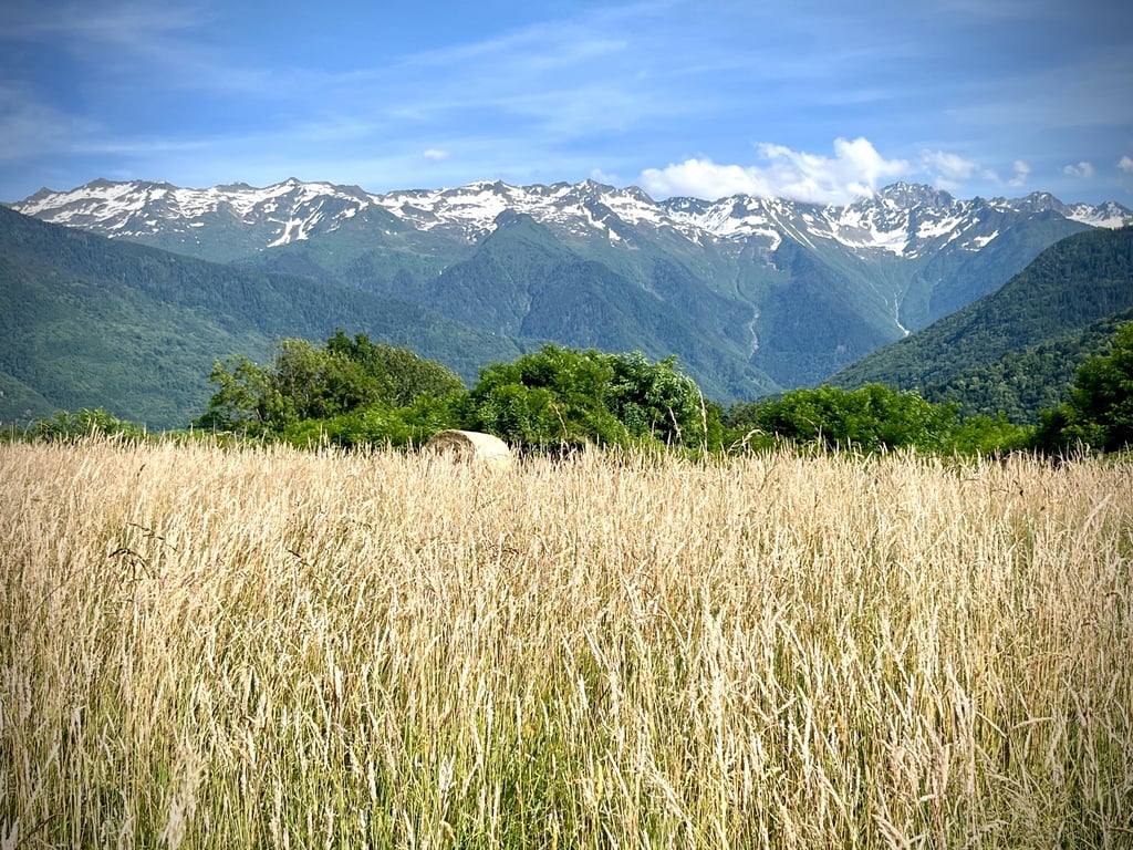
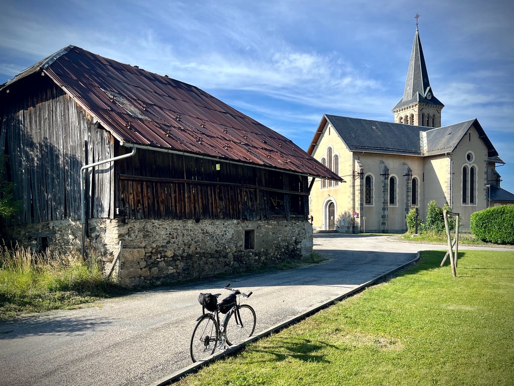
To get a magnificent view of Les Bauges just opposite and the valley, push on behind the Church.
Une montée classique au départ de Aiton , bien connue des cyclistes locaux.
Même si elle n'est pas très longue, elles reste exigeante sur la première partie de 5,4km jusqu'à la route des Combes puisque le pourcentage moyen est de 8,2% , la pente est toujours entre 7,5 et 8.5% parfois au dessus, je n'ai pas rencontré les 100M à 16,8%.
Il reste ensuite 2 km en légère descente puis les 500 derniers mètres un peu plus pentus pour arriver au cœur du petit village de Aiton.
Pour avoir un magnifique point de vue sur Les Bauges juste en face et sur la vallée, poussez jusque derrière l'Eglise.
| 5 mph | 00:59:47 |
| 7 mph | 00:42:19 |
| 9 mph | 00:32:59 |
| 12 mph | 00:24:47 |
This page is better in the app