Bois de Winerotte from Warsage is a climb in the region Pays de Herve. It is 2.4 mi long and bridges 446 ft of vertical ascent with an average gradient of 3.5%, resulting in a difficulty score of 61. The top of the ascent is located at 778 ft above sea level. Climbfinder users shared 4 reviews of this climb and uploaded 13 photos.
Road names: Rue Albert Dekkers & Winerotte
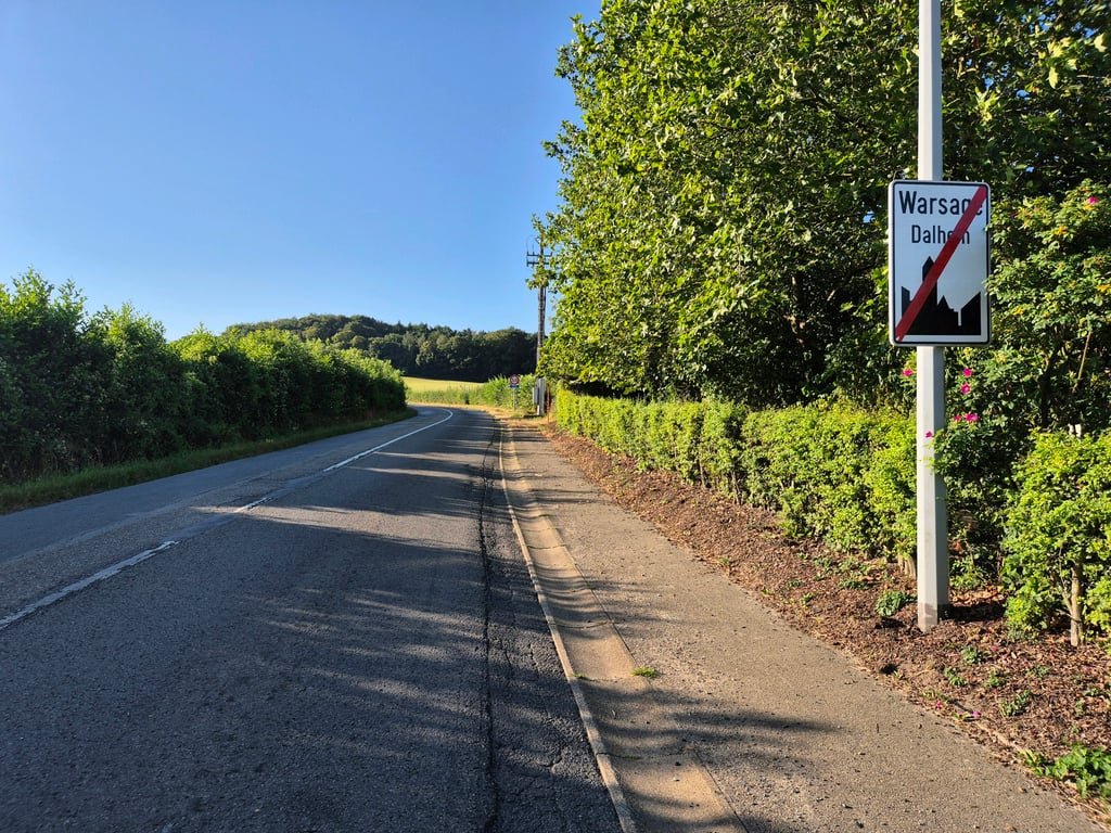
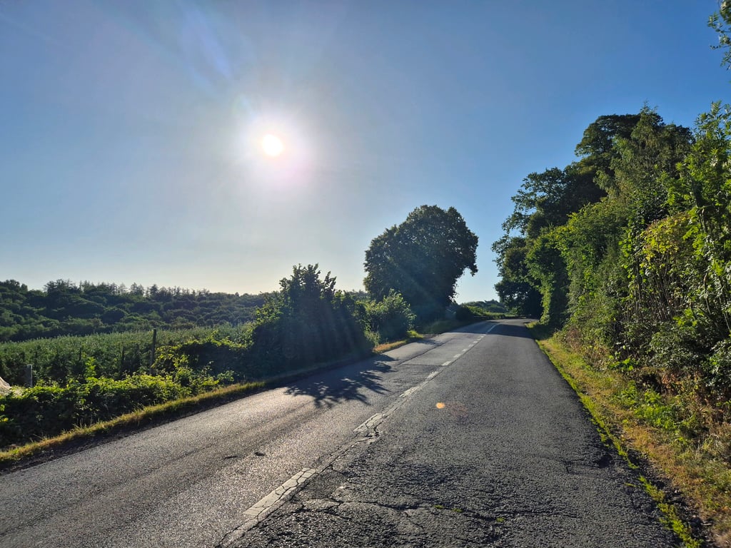
3.0 by JarinThis is an automatic translation, the original language is: Dutch.A climb I didn’t expect much from because it’s a main road, but one that ended up pleasantly surprising me! On Sunday morning, there wasn’t much traffic, and as you leave Warsage, the surroundings become significantly more rural and attractive. The road surface isn’t too bad by Walloon standards, and the climb just keeps going, so it’s a nice challenge. Tip: at the end of the climb, turn right onto Rue du Colonel d’Ardenne; after a few hundred meters, you’ll be treated to a stunnin... read more

Welcome! Please activate your account if you would like to share something. Look for the verification email in your inbox.
If you want to upload your photos, you need to create an account. It only takes 1 minute and it's completely free.
A climb I didn’t expect much from because it’s a main road, but one that ended up pleasantly surprising me! On Sunday morning, there wasn’t much traffic, and as you leave Warsage, the surroundings become significantly more rural and attractive. The road surface isn’t too bad by Walloon standards, and the climb just keeps going, so it’s a nice challenge. Tip: at the end of the climb, turn right onto Rue du Colonel d’Ardenne; after a few hundred meters, you’ll be treated to a stunning panoramic view of Hervé’s countryside on your left!!
Klim waarvan ik niet veel verwachtte omdat het een doorgaande weg is, maar die me uiteindelijk prettig verraste! Op zondagochtend was het er niet druk qua verkeer en als je Warsage uitrijdt wordt de omgeving beduidend landelijker en aantrekkelijker. Het wegdek is naar Waalse maatstaven niet al te slecht en de klim lijft maar doortrekken dus is een mooie uitdaging. Tip: sla aan het eind van de klim rechtsaf de Rue du Colonel d'Ardenne in, dan word je na een paar honderd meter aan je linkerzijde getracteerd op een prachtig panoramauitzicht over het land van Hervé!!
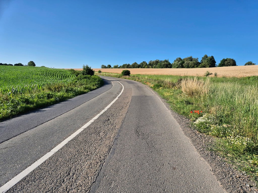
A long runner with not too good road surface. Unfortunately also quite a lot of traffic. Because it is a regular climb, you do have a longer distance pressure on your legs and therefore a good practice for serious climbs.
Een lange loper met niet al te best wegdek. Helaas ook best veel verkeer. Omdat het een regelmatige klim is, heb je wel een langere afstand druk op de benen en daardoor wel een goede oefening voor serieuze beklimmingen.
Climb on the main road between Berneau via Warsage towards the summit of Côte de Hagelstein on the north side of Aubel. The climb starts already between Berneau and Warsage and goes up gradually. The steepest part is halfway between Warsage and the summit. Not super-heavy but you have to keep pedalling constantly to avoid stalling.
Klim over de doorgaande weg tussen Berneau via Warsage richting de top van Côte de Hagelstein aan de noordkant van Aubel. De klim begint al tussen Berneau en Warsage en loopt geleidelijk op. Het steilste deel zit halfverwege Warsage en de top. Niet superzwaar maar je moet wel constant blijven trappen om niet stil te vallen.
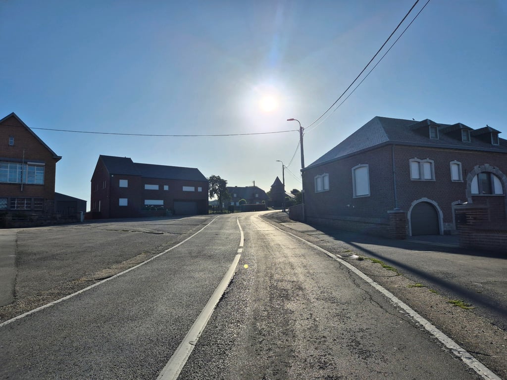
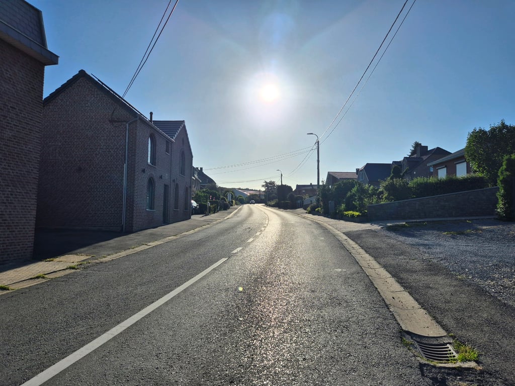
A climb on the through but not too busy road from Warsage towards Aubel. The road is generally fair to good but there are some worse spots on the side. Until Warsage it goes slightly up, then it gets steeper with the steepest part when you have just left the built-up area and pass the little castle. Then it goes through the forest and then it's almost cycling to the end where it goes up a bit. The road winds nicely and sometimes there are nice views (especially to the rear).
Een klim over de doorgaande maar niet al te drukke weg van Warsage richting Aubel. De weg is over het algemeen redelijk tot goed maar er zitten enkele slechtere plekken aan de zijkant. Tot Warsage gaat het lichtjes omhoog, daarna wordt het steiler met het steilste gedeelte als je net de bebouwde kom verlaten hebt en langs het kasteeltje komt. Daarna nog door het bos heen en dan is het vrijwel uitfietsen waarbij het op het eind nog iets omhoog gaat. De weg slingert leuk en soms zijn er (vooral naar achteren) leuke uitzichten.
| 5 mph | 00:29:20 |
| 7 mph | 00:20:46 |
| 9 mph | 00:16:11 |
| 12 mph | 00:12:09 |
This page is better in the app