| Beautiful scenery |
| Hidden gem |
| 27 hairpin turns |
| #26 toughest climb of Piedmont |
| #22 most elevation gain of Piedmont |
| #50 longest climb of Piedmont |
| #97 average steepest climb of Verbano-Cusio-Ossola |
Alpe San Bernardo from Domodossola is a climb in the region Verbano-Cusio-Ossola. It is 10.6 mi long and bridges 4272 ft of vertical ascent with an average gradient of 7.6%, resulting in a difficulty score of 1157. The top of the ascent is located at 5328 ft above sea level. Climbfinder users shared 4 reviews of this climb and uploaded 8 photos.
Road names: Via di Vittorio, Frazione Messasca, Via Cavallini & Frazione San Lorenzo
4.0 by CesareGThis is an automatic translation, the original language is: Italian.This climb is very challenging, the first 4 km are pedalable, and after passing the second bridge it begins to climb, and in the first very steep part is the climb that passes through the village of Fonti, then there are some hairpin bends that lead to San Lorenzo, and then to the Germagno bridge where you can take a rest, after which it climbs much more and in Vercengio there is the steepest part and not all the hairpin bends help you breathe, but the climb is very pleasant with moderate traffi... read more

Welcome! Please activate your account if you would like to share something. Look for the verification email in your inbox.
If you want to upload your photos, you need to create an account. It only takes 1 minute and it's completely free.
Tosta. Domenica estate un flusso continuo di auto che portano le persone su per delle passeggiate. Strada molto dissestata soprattutto ultimi chilometri. A tratti molto stretta e con le curve cieche. Quindi attenzione ai fenomeni. Probabilmente e' molto bella e allenante ad aprile in settimana.
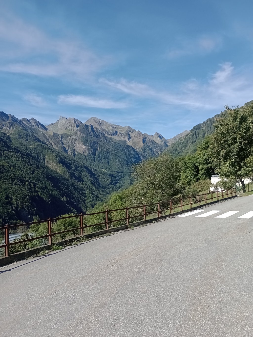
This climb was quite a discovery. Although I frequent the Ossola a lot, I had always heard about Devero, Domobianca, Formazza, etc. The road immediately enters a dense forest in a wild and unfortunately quite abandoned valley. However, this makes for great peace and little traffic. Initially the gradients are bearable, especially up to Bognanco Terme, then they begin to shift towards 7 and beyond % until we reach the hamlet of San Lorenzo (1000m altitude) where there is a nice little fountain. From there, the remaining altitude gain is a good 600m in about 7km. The accounts are soon done: the road is steadily approaching double figures! In fact, especially after Vercengio, there is the toughest stretch and the road is in the worst condition, even though it is well practicable for racing bikes. The view is pleasant over a valley surrounded by nature. I really struggled a lot (perhaps the Canobbina in my legs did not help either)
Questa salita è stata proprio una bella scoperta. Nonostante frequenti molto l'Ossola, avevo sempre sentito parlare del Devero, di Domobianca, della Formazza ecc... La strada si addentra da subito in un fitto bosco in una valle selvaggia e purtroppo abbastanza abbandonata. Questo però fa si che ci sia una grande pace e poco traffico. Inizialmente le pendenze sono sopportabili specialmente fino a Bognanco Terme, poi iniziano a spostarsi verso il 7 e oltre % fino ad arrivare alla frazione di San Lorenzo (1000m altitudine) dove c'è una bella fontanella. Da lì il guadagno di quota rimanente è ben 600m in circa 7km. I conti sono presto fatti: la strada è stabilmente vicina alla doppia cifra! Infatti specialmente dopo Vercengio c'è il tratto più duro e con la strada in condizioni peggiori seppur ben praticabile da bici da corsa. La vista è piacevole su una valle immersa nella natura. Ho davvero faticato tantissimo (forse anche x la Canobbina nelle gambe non mi ha aiutato)
This climb is very challenging, the first 4 km are pedalable, and after passing the second bridge it begins to climb, and in the first very steep part is the climb that passes through the village of Fonti, then there are some hairpin bends that lead to San Lorenzo, and then to the Germagno bridge where you can take a rest, after which it climbs much more and in Vercengio there is the steepest part and not all the hairpin bends help you breathe, but the climb is very pleasant with moderate traffic and a panoramic view.
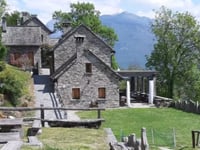
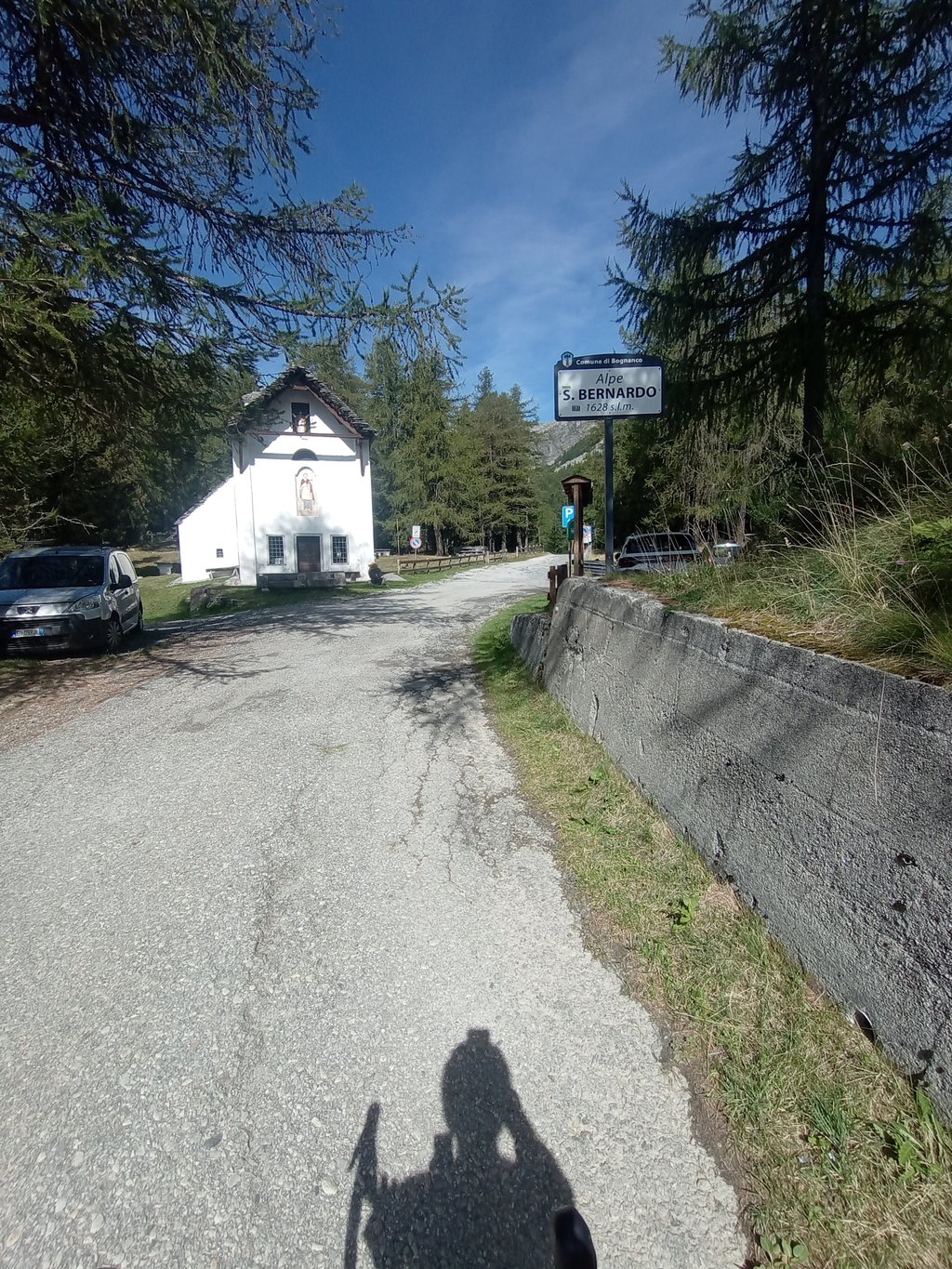
Once at the top, there is a small church and tables with a drinking fountain. Unfortunately, the refuge is 500 metres downhill on a dirt road, so we could not go there, but there are many drinking fountains along the route, especially in the villages.
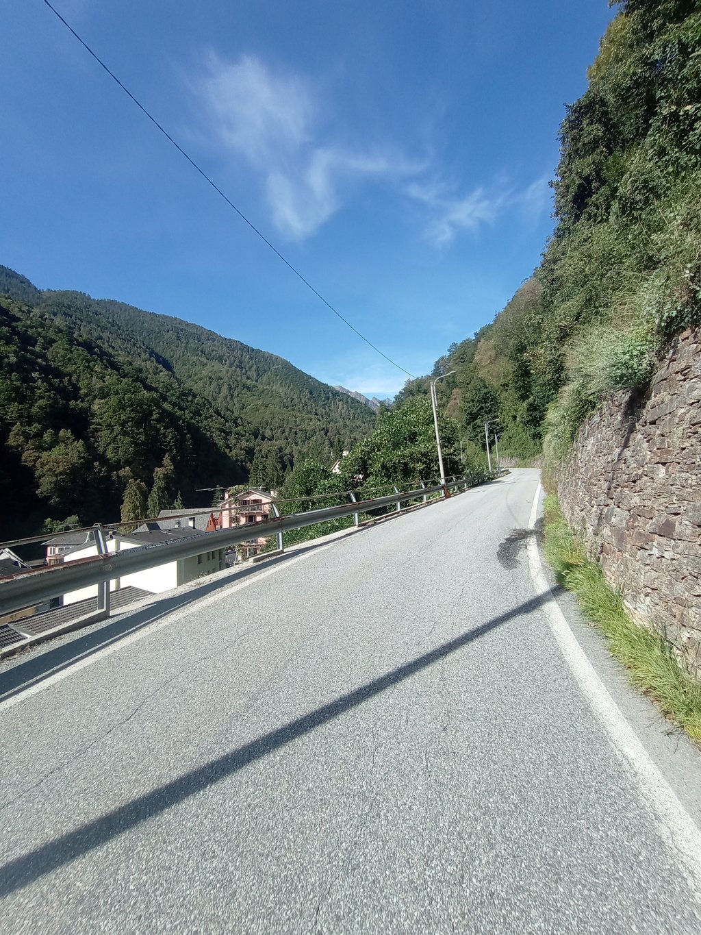
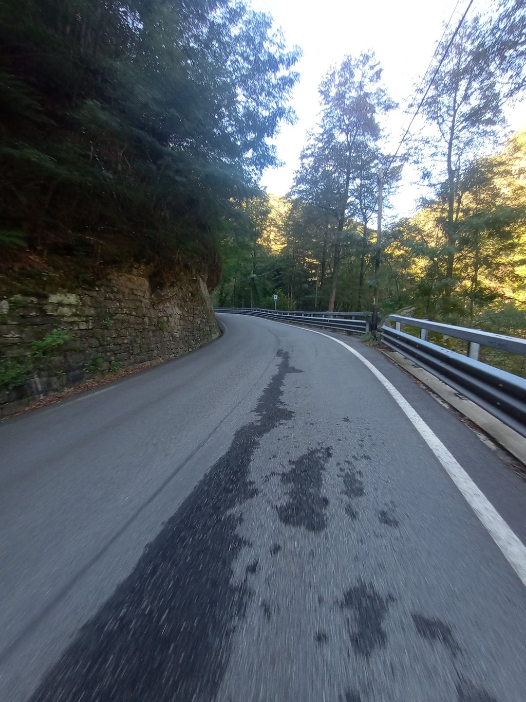
One flaw in this climb is the very bad asphalt on the entire route, especially in the last 5km.
I liked this climb very much, and I recommend doing it either in spring or autumn or early mornings in summer because of the sun in the first part where the valley is narrow there is never any wind, so it is very hot, so in the hottest hours of summer days it is not very pleasant.
Questa salita è molto impegnativa, i primi 4 Km sono pedalabili, e, dopo aver superato il secondo ponte inizia a salire, e, nel primo pezzo molto ripido è lo strappo che passa nel paese di Fonti, poi ci sono alcuni tornanti che portano a San Lorenzo, e poi al ponte di Germagno dove li si rifiata, dopo sale molto di più e a Vercengio c'è il pezzo più ripido e non tutti i tornanti aiutano a respirare, però salita molto gradevole con traffico moderato e una vista panoramica.
Una volta arrivati in cima c'è una chiesetta, e dei tavoli con una fontanella, purtroppo il rifugio si trova a 500m di discesa su sterrato quindi non ci siamo potuti andare, però sul percorso, in particolar modo nei paesi sono presenti molte fontanelle.
Una pecca di questa salita è il pessimo asfalto su tutto il percorso specialmente negli ultimi 5Km.
Questa salita mi è piaciuta molto, e, consiglio di farla o in primavera o in autunno o le mattine presto d'estate a causa del sole nel primo pezzo dove la valle e stretta non c'è mai vento, quindi fa molto caldo, perciò nelle ore più calde delle giornate estive non è molto piacevole.
It's really challenging, in my opinion one of the toughest in the area. After the small viaduct above Graniga, the road doesn't give you a moment's rest until the top!
Usually above Bognanco the traffic is scarce, but on summer weekends it can become intense: from San Bernardo several paths depart towards the upper valley which is a very popular destination.
There are often works on the road, so the quality of the asphalt can become very poor in some places.
For commitment and landscape, however, absolutely deserves!
I suggest to call the San Bernardo refuge to ask if it is open, otherwise you have to continue to the Dosso refuge (asphalt road but very hard!) or go down again to Graniga.
E' veramente impegnativa, a mio avviso una delle più dure nei dintorni. Dopo il piccolo viadotto sopra Graniga la strada non dà un attimo di respiro fino in cima!
Di solito sopra Bognanco il traffico è scarso, ma nei fine settimana estivi può diventare intenso: da San Bernardo partono diversi sentieri verso l'alta valle che è una meta molto frequentata.
Ci sono spesso lavori sulla strada, quindi la qualità dell'asfalto in alcuni punti può diventare molto scadente.
Per impegno e paesaggio comunque merita assolutamente!
Consiglio di chiamare il rifugio San Bernardo per chiedere se è aperto, altrimenti bisogna proseguire per il rifugio Dosso (strada asfaltata ma durissima!) oppure scendere di nuovo a Graniga.
| 5 mph | 02:07:41 |
| 7 mph | 01:30:23 |
| 9 mph | 01:10:26 |
| 12 mph | 00:52:55 |
This page is better in the app