Alpe Calones / Cigolino from San Vittore is a climb in the region Sondrio. It is 5 mi long and bridges 3274 ft of vertical ascent with an average gradient of 12.5%, resulting in a difficulty score of 1341. The top of the ascent is located at 4147 ft above sea level. Climbfinder users shared 1 review/story of this climb and uploaded 7 photos.
Road names: Via Possabella & Strada Consorzio Madonna della Grazie
4.0 by patrickbaertThis is an automatic translation, the original language is: Dutch.Using the Italian town of Chiavenna as a base,thanks to CF, I cycled up, or rather crawled up, this hidden gem, located on the western flank of the wide Mera river valley. The (dark) red colour and numbers of the graph and the large number of hairpin bends on such'n short distance explain why I had to set foot several times. Start of the route still straight through the village of Mese to further winding into the dense forest (=shade) with sporadic panoramic views of the valley. Nowhere ... read more
Welcome! Please activate your account if you would like to share something. Look for the verification email in your inbox.
If you want to upload your photos, you need to create an account. It only takes 1 minute and it's completely free.
Using the Italian town of Chiavenna as a base,thanks to CF, I cycled up, or rather crawled up, this hidden gem, located on the western flank of the wide Mera river valley.
The (dark) red colour and numbers of the graph and the large number of hairpin bends on such'n short distance explain why I had to set foot several times.
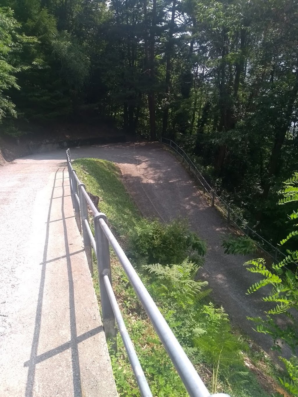
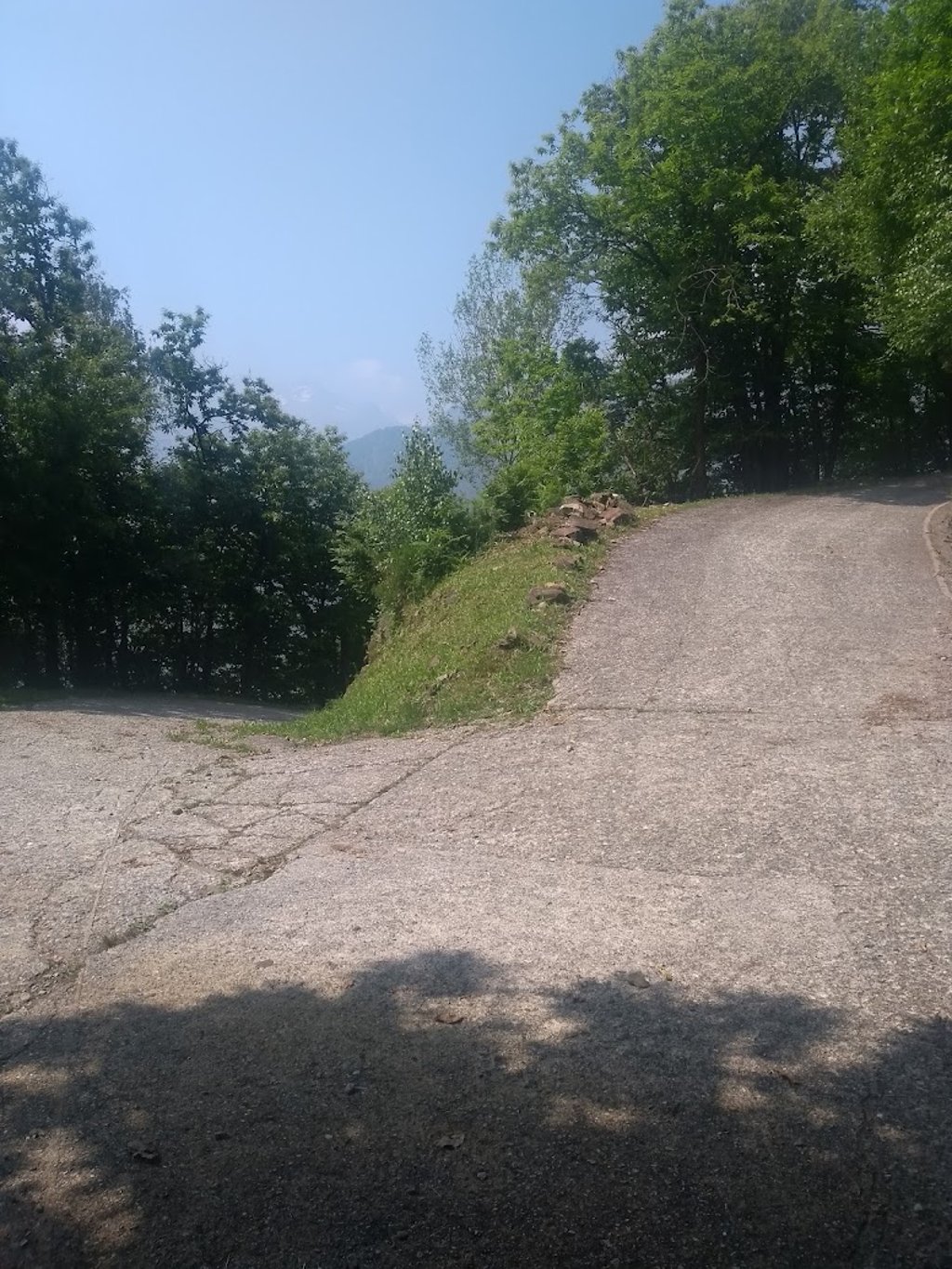
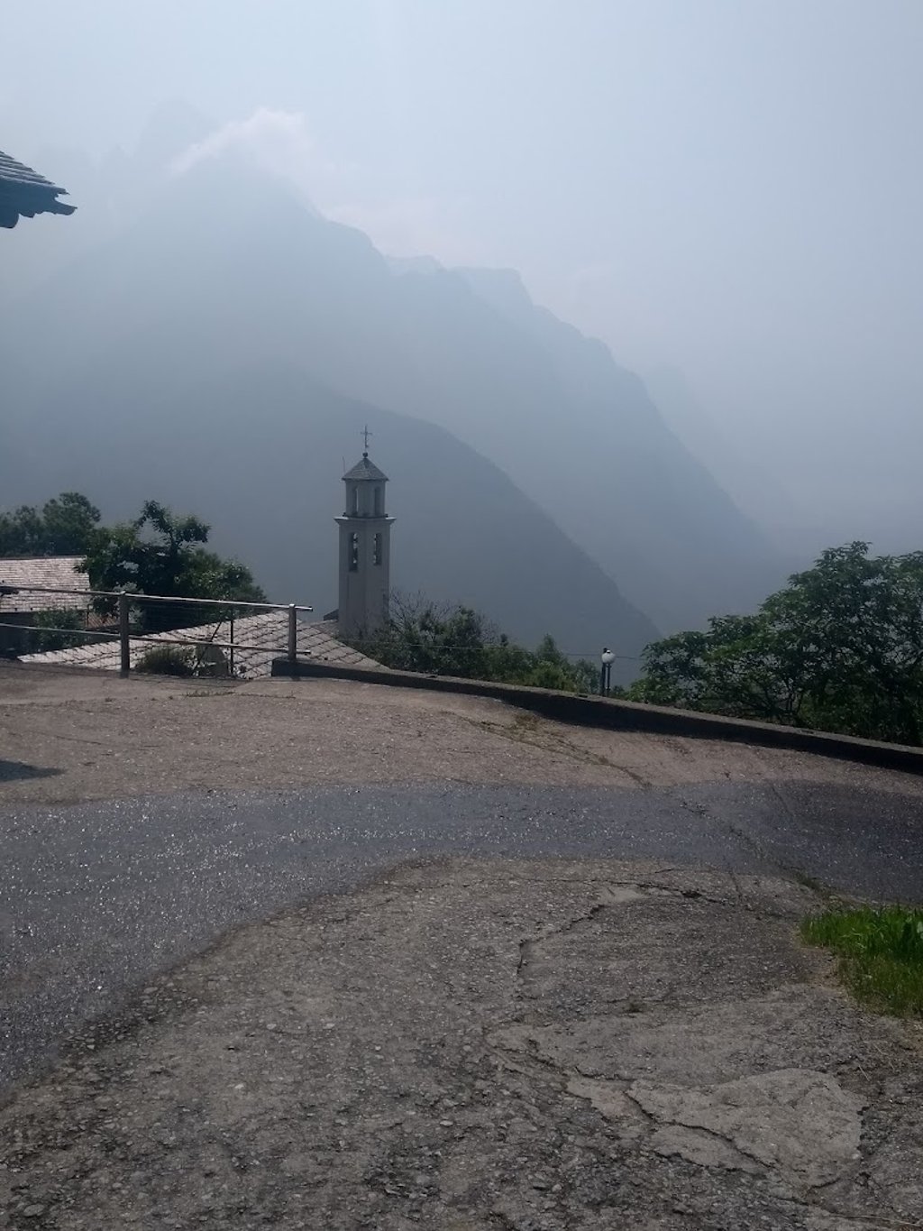
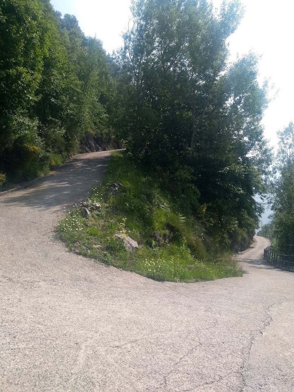
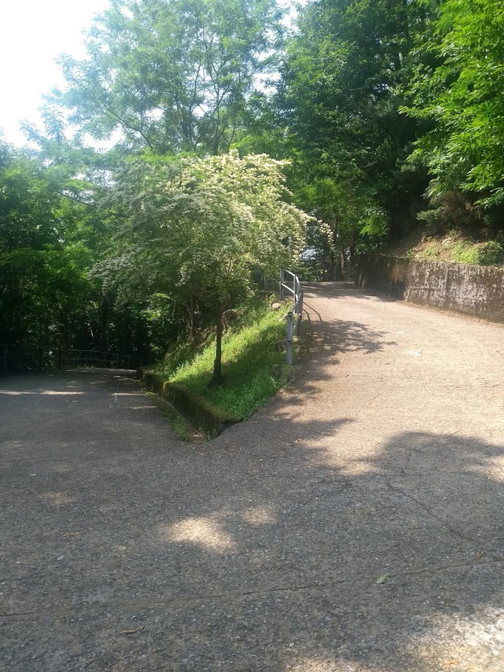
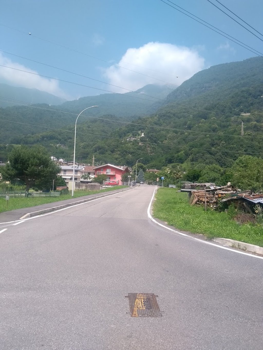
Start of the route still straight through the village of Mese to further winding into the dense forest (=shade) with sporadic panoramic views of the valley.
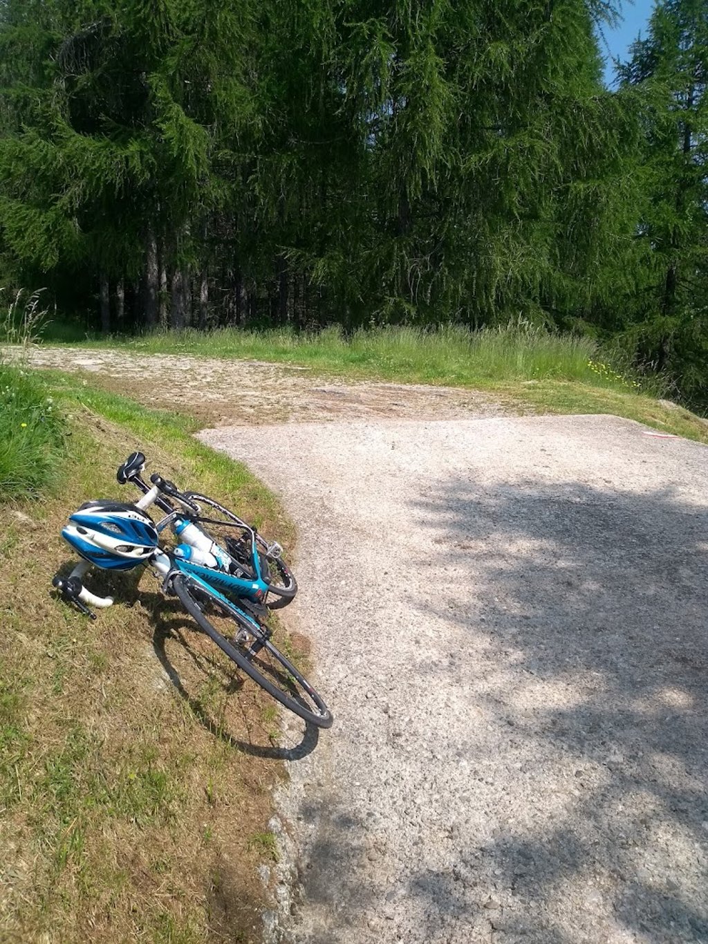
Nowhere does it get less steep ! After passing barely inhabited Sant Antonio and Cigolino, the road stops in the middle of nowhere and becomes a footpath.
With increasing altitude, the road surface also deteriorates. Rough ridged concrete with solid pebbles,occasional water gutters,pits and loose gravel. Descending was therefore very careful.
Unprecedented and hidden, a lot shorter than the touristy Splugen and Maloja passes, but murderously steeper with hardly any traffic.
A challenge on a road bike but given the steepness and road surface, a mountain bike might have been better for me.
Met het italiaans stadje Chiavenna als uitvalbasis,heb ik dankzij CF deze verborgen parel,gelegen op de westflank van het brede Mera rivierdal op gefietst,of beter gekropen.
De (donker) rode kleur en cijfers van de grafiek en het groot aantal haarspeldbochten op zo'n korte afstand verklaren waarom ik enkele keren voet aan grond moest zetten.
Aanloop van de route nog rechte weg dwars door het dorp Mese om verder kronkelend het dichte woud (=schaduw) in te duiken met sporadisch panoramisch zicht op het dal.
Nergens wordt het minder steil ! Na het passeren van het amper bewoonde Sant Antonio en Cigolino stopt de weg in het niets en wordt wandelpad.
Met toenemende hoogte verslechterd ook het wegdek. Ruw geribbeld beton met vaste kiezels,af en toe watergoten,putten en los grind. Afdalen was dan ook heel voorzichtig.
Ongekend en verborgen, een pak korter dan de toeristische Splugen- en Malojapas, maar moordend steiler met amper verkeer.
Een uitdaging met de racefiets doch gezien de steilte en het wegdek was een mountainbike voor mij misschien beter geweest.
| 5 mph | 00:59:54 |
| 7 mph | 00:42:24 |
| 9 mph | 00:33:02 |
| 12 mph | 00:24:49 |
This page is better in the app