View on map
© MapLibre | OpenStreetMap contributors
1%
2%
4%
6%
8%
10%
12%
15%
20%

Weissenstein

4.0
1 review/story | Elevation profile | 4 photos
Tips nearby
Weissenstein
Weissenstein
Weissenstein
Weissenstein
transparant thumb
transparant thumb
transparant thumb
transparant thumb
Your achievable time
Calculating based on your best performances...
Relaxed
Maximum
W/kg
W/kg
W/kg
Analyse your climbing performance
Detailed insight into your climbing performance & automatically check off climbs
Based on your best performances.
Your best attempt:
Number of attempts:
Elevation profile Weissenstein

Statistics

Difficulty points 605
Length 5 km
Average gradient 10.5%
Steepest 100 metres 16.6%
Total ascent 526 m

Short recap

Famous climb
Beautiful scenery
2 hairpin turns
#49 toughest climb of Jura
#7 most elevation gain of Solothurn
#19 longest climb of Solothurn
#89 average steepest climb of Jura
Feedback about this climb?
Show climbs nearby Export to GPS device

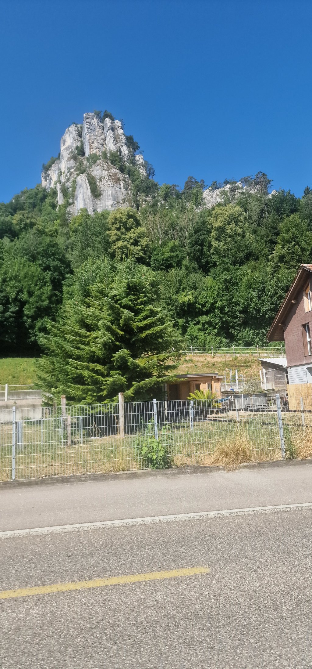
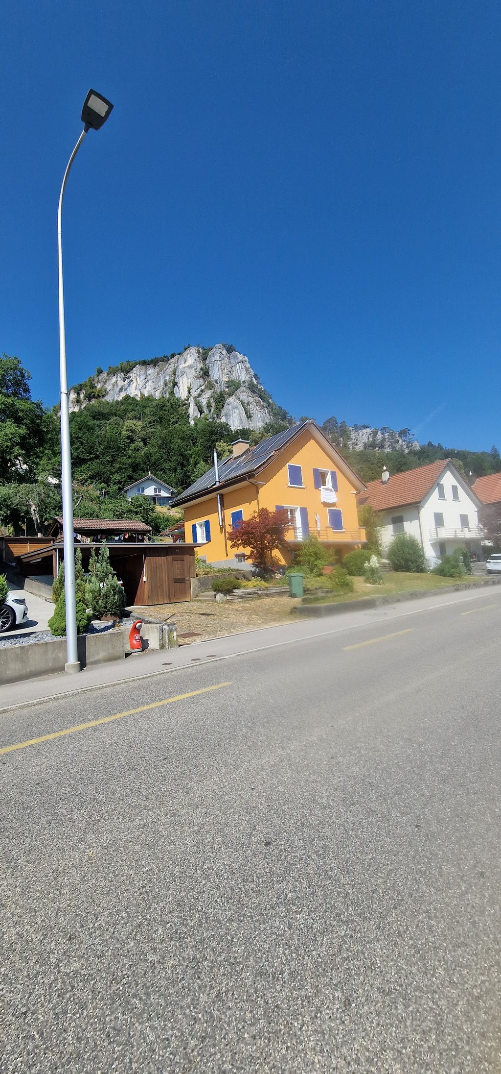
Weissenstein is a climb in the region Solothurn. It is 5 km long and bridges 526 m of vertical ascent with an average gradient of 10.5%, resulting in a difficulty score of 605. The top of the ascent is located at 1278 m above sea level. Climbfinder users shared 1 review/story of this climb and uploaded 4 photos.

Road name: Weissensteinstrasse

4.0 by drheff
This is very difficult, you need to keep plodding along as the gradient is steady all the way up. There should not be much traffic but if you do meet it, the road is narrow. I pushed the last part, I had to stop for a car and didnt manage to get back on :) There is a restaurant over the top for sugar refill... read more

Photos (4)

Weissenstein
Weissenstein
Weissenstein
Weissenstein
transparant thumb
transparant thumb

Your uploads (max 4)

Welcome! Please activate your account if you would like to share something. Look for the verification email in your inbox.

If you want to upload your photos, you need to create an account. It only takes 1 minute and it's completely free.

  • Receive free climbfinder goodies for your reviews & photos.
  • Create a bucket list and check off conquered climbs.
  • Add missing climbs.
Continue with GoogleContinue with Google Continue with FacebookContinue with Facebook Continue with AppleContinue with Apple Sign up with email
By signing up you agree to our terms of service and confirm that you have read our privacy & content policy.

Reviews (1)

5.0
4.0
3.0
2.0
1.0
drheff
2 y 4.0

This is very difficult, you need to keep plodding along as the gradient is steady all the way up. There should not be much traffic but if you do meet it, the road is narrow. I pushed the last part, I had to stop for a car and didnt manage to get back on :)
There is a restaurant over the top for sugar refill

Dashboard

Climbing times

7 km/h 00:42:58
11 km/h 00:27:20
15 km/h 00:20:03
19 km/h 00:15:50

Road surface condition

50% 0% 50%
Based on 2 votes
Share your knowledge. What was the road condition during your ascent?

Traffic

0% 100% 0%
Based on 2 votes
Your experience counts. How much traffic did you encounter during the climb?

Frequently Asked Questions

Weissenstein can be cycled from 2 sides. Weissenstein from Gänsbrunnen is the most popular side, but the summit can also be reached via Weissenstein from Solothurn.

Weissenstein is a challenging ascent. For this type of climbing, we recommend mountain gearing, specifically a compact system. This means a small front chainring of 34 teeth, combined with a rear cassette where, depending on your level, strength, and experience, you choose a sprocket with 30, 32, or even 34 teeth. Remember that a smooth cadence is always more efficient!

Weissenstein is a first-category climb: long and tough. Do not underestimate this climb. Many famous Tour de France cols fall into this category. Prepare for a long, challenging ride. Only well-trained riders will reach the top smoothly. Make sure you have a road bike with climbing gears and enough training; otherwise, it will be a struggle.

Weissenstein is 5 km long.

The average gradient of Weissenstein is 10.5%.

Weissenstein has a steepest segment with an average gradient of 16.6%.

The summit of Weissenstein is at 1278 m.

At a slow pace of 7 km/h, it takes about 00:42:58 to climb Weissenstein. At 11 km/h the time is 00:27:20, and at 15 km/h 00:20:03. For the fastest cyclists, 00:15:50 is an achievable time.

Weissenstein is located in the region Solothurn in Switzerland.

This page is better in the app

Climbfinder app
Climbfinder
(Free)
Open