Tips nearby


| Hidden gem |
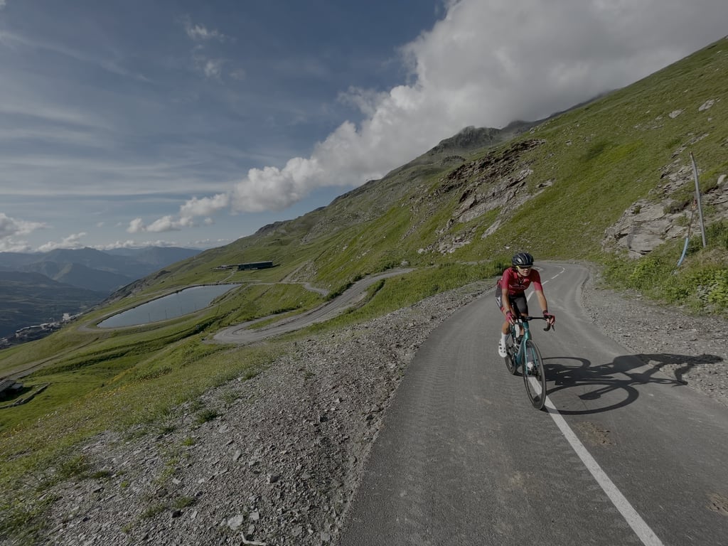
| 19 hairpin turns |
| #70 average steepest climb of Savoie |
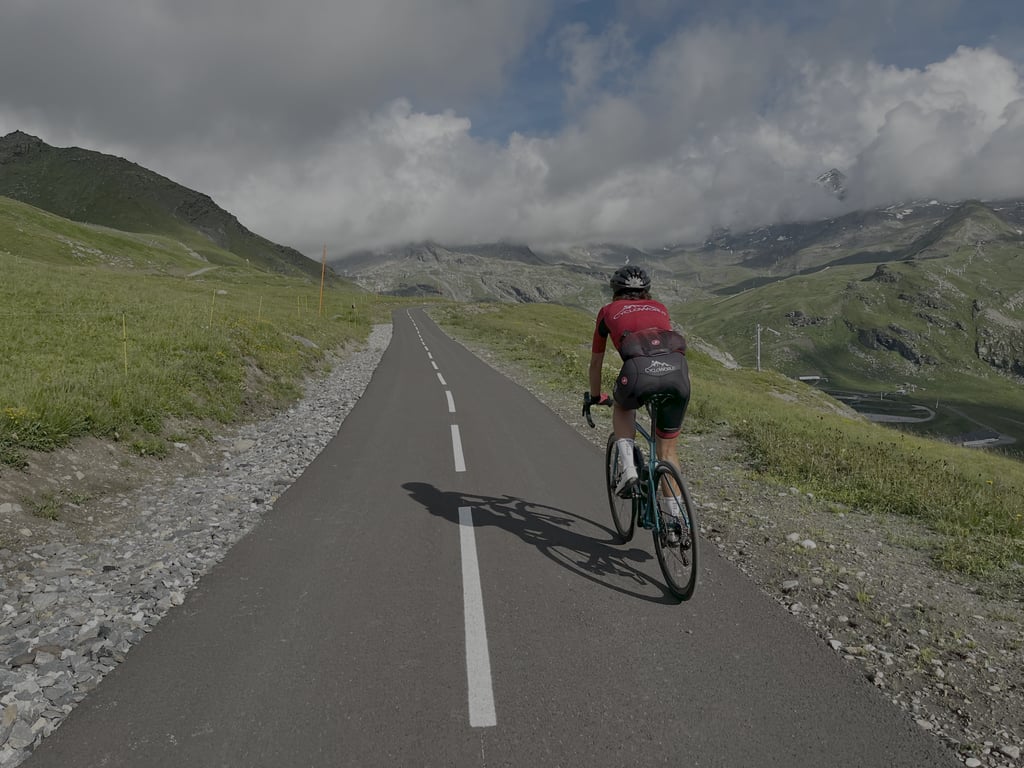
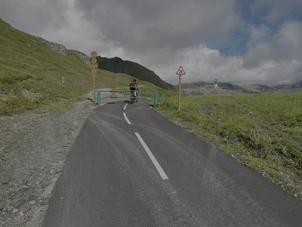
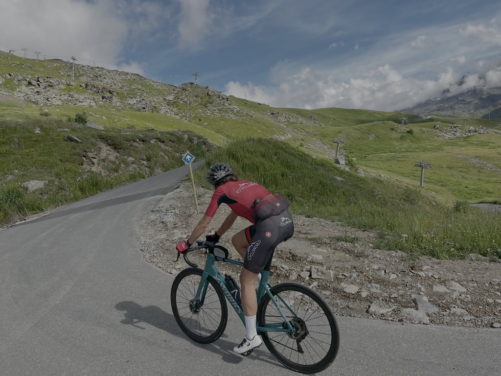
Val Thorens from Les Menuires via Piste Cyclable is a climb in the region Savoie. It is 6.4 km long and bridges 535 m of vertical ascent with an average gradient of 8.3%, resulting in a difficulty score of 485. The top of the ascent is located at 2358 m above sea level. Climbfinder users shared 3 reviews of this climb and uploaded 7 photos.
Road names: Route de Reberty, Reberty, Paturages, Boulevard des Echauds, Boulevard des Echauds & Boulevard des Echauds
5.0 by CycloWorldThis is an automatic translation, the original language is: Dutch.Great new road. Accessible to cyclists only, just like the Col de la Loze. Some steep sections, but not too long and not too extreme. It doesn't get any prettier.... read more
Welcome! Please activate your account if you would like to share something. Look for the verification email in your inbox.
If you want to upload your photos, you need to create an account. It only takes 1 minute and it's completely free.
Great new road. Accessible to cyclists only, just like the Col de la Loze. Some steep sections, but not too long and not too extreme. It doesn't get any prettier.
Geweldige nieuwe weg. Alleen toegankelijk voor fietsers, net als de Col de la Loze. Enkele flink steile stukker, maar niet te lang en niet te extreem. Mooier wordt het niet.
left from Moûtier; first stretch may dent, but wasn't too bad. Didn't have a streak of shade (left too late) briefly topped up in les menuires for this last part of the climb. What a challenge. Nice path, nice views of the white mountain peaks, nice that I still had to gasp after a bit of 15%.
vanaf Moûtier vertrokken; eerste stuk kan deuk zijn, maar viel best mee. Geen streep schaduw gehad (te laat vertrokken) even bijgetakt in les menuires voor dit laatste stuk van de klim. Wat een uitdaging. Mooi pad, mooi uitzicht op de witte bergroppen, mooi dat ik toch een keertje naar adem moest happen na een stukje 15%.
| 7 km/h | 00:55:09 |
| 11 km/h | 00:35:06 |
| 15 km/h | 00:25:44 |
| 19 km/h | 00:20:19 |
This page is better in the app