Uriage from Gières is a climb in the region Grenoble. It is 6.3 km long and bridges 188 m of vertical ascent with an average gradient of 3%, resulting in a difficulty score of 64. The top of the ascent is located at 413 m above sea level. Climbfinder users shared 4 reviews of this climb and uploaded 2 photos.
Road names: Avenue d'Uriage, Avenue Henri Duhamel, Avenue de la Combe, Route de Gières & Avenue des Thermes
2.0 by aaabbbThis is an automatic translation, the original language is: French.It’s a night-time ride; there’s a lot of traffic, but there’s a brand-new (built in 2026) cycle path running alongside the road. The gradient isn’t too steep, so it’s a good way to get your legs moving.... read more
Welcome! Please activate your account if you would like to share something. Look for the verification email in your inbox.
If you want to upload your photos, you need to create an account. It only takes 1 minute and it's completely free.
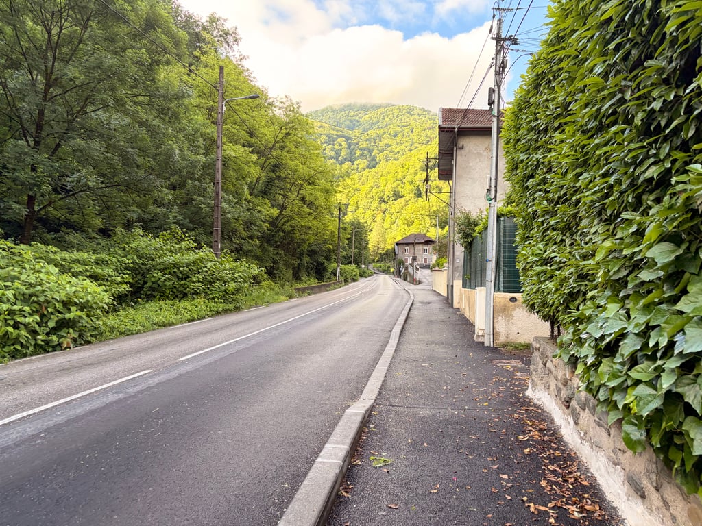
It’s a night-time ride; there’s a lot of traffic, but there’s a brand-new (built in 2026) cycle path running alongside the road. The gradient isn’t too steep, so it’s a good way to get your legs moving.
Fait de nuit, il y a beaucoup de circulation mais une toute nouvelle (en 2026) piste cyclable sur le côté. La pente n’est pas méchante et permet donc de tourner les jambes assez bien.
The easiest way to get up to Uriage, but by no means the most pleasant. There’s a lot of traffic, and besides, I find this long, gently sloping stretch a bit tedious.
Le moyen le plus soft de monter à Uriage mais loin d'être le plus agréable. Beaucoup de circulation automobile, et par ailleurs je trouve ce long faux-plat montant un peu ennuyeux.
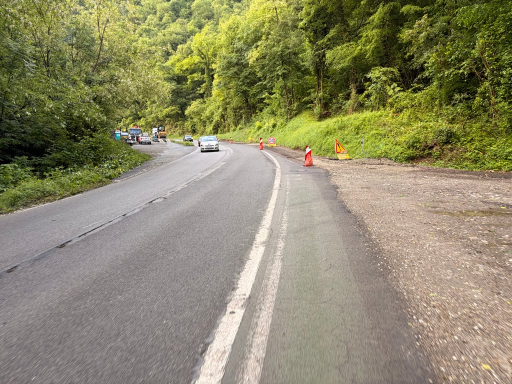
I took this climb before the ascent to Chamrousse, which is great for warming up. But it's too busy and there's a cycle lane that's currently being rebuilt.
J’ai pris cette côte avant la montée vers Chamrousse qui permet de se chauffer. Mais trop fréquentée et avec une voie cyclable qui est en travaux en ce moment.
This long, even and gentle climb is ideal for warming up. It winds its way up the Sonnant d'Uriage valley and is the main route up to Chamrousse and the Romanche valley (Vizille, Alpe d'Huez, Deux-Alpes...) from the east of Grenoble and the Grésivaudan valley.
As a result, it is often very busy with cars, particularly at rush hour and during holiday rushes. Fortunately, it has a comfortable cycle lane, but only in the uphill direction.
Cette montée longue, régulière et peu pentue, est idéale pour un échauffement. Elle remonte la vallée assez encaissée du Sonnant d'Uriage et elle est l'accès principal aux montées de Chamrousse et à la vallée de la Romanche (Vizille, Alpe d'Huez, Deux-Alpes…) quand on vient de l'est de Grenoble et de la vallée du Grésivaudan.
De ce fait, elle est souvent très fréquentée par les voitures, particulièrement aux heures de pointe et pendant les « rushs » vacanciers. Heureusement elle est dotée d'une bande cyclable confortable, mais uniquement dans le sens de la montée.
| 7 km/h | 00:54:15 |
| 11 km/h | 00:34:31 |
| 15 km/h | 00:25:19 |
| 19 km/h | 00:19:59 |
This page is better in the app