| Hidden gem |
| 1 hairpin turn |
| #61 toughest climb of Heart of the Ardennes |
| #47 average steepest climb of Heart of the Ardennes |
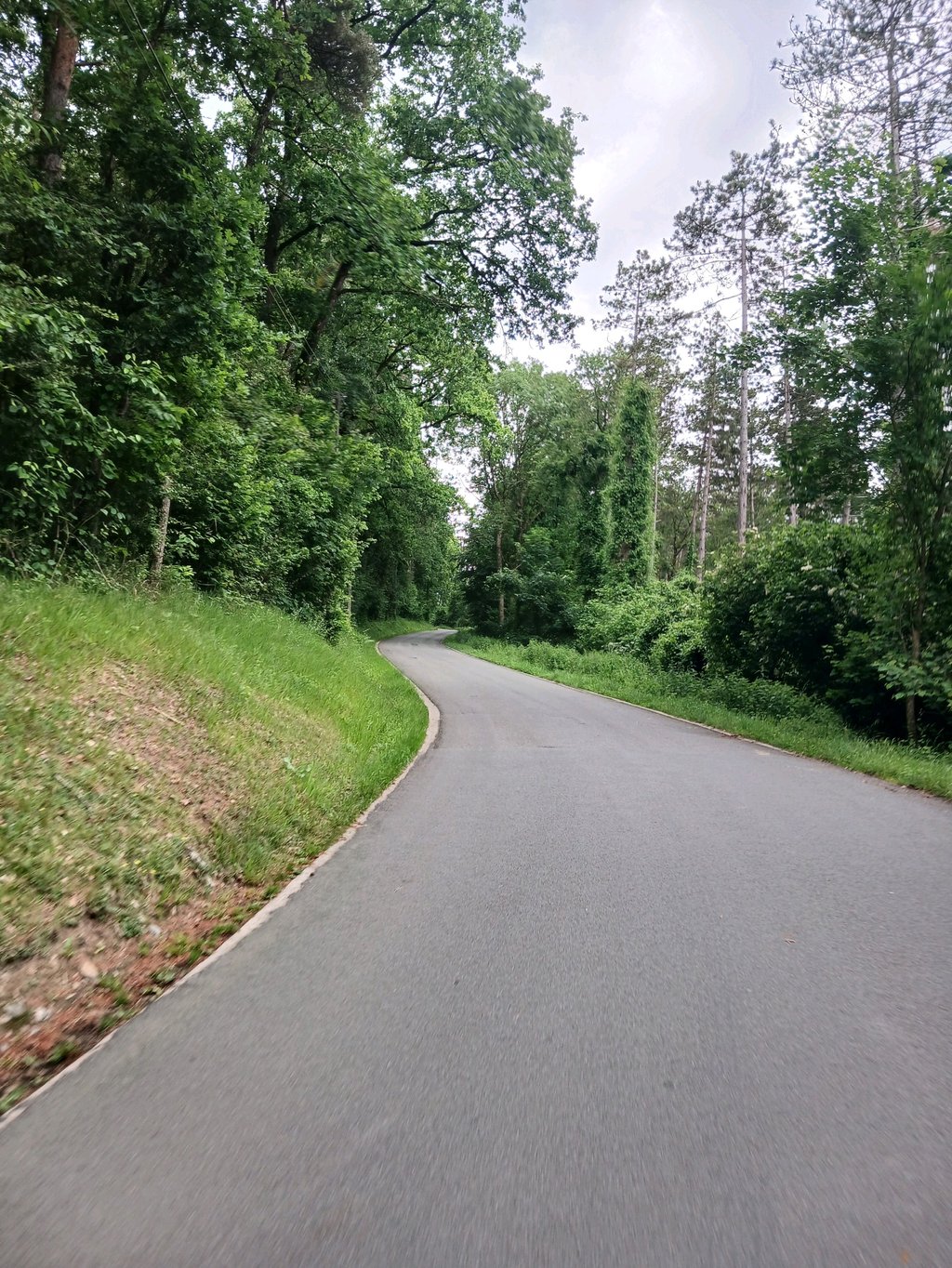
Thier d'Ozo is a climb in the region Heart of the Ardennes. It is 1.6 km long and bridges 107 m of vertical ascent with an average gradient of 6.6%, resulting in a difficulty score of 99. The top of the ascent is located at 262 m above sea level. Climbfinder users shared 4 reviews of this climb and uploaded 1 photo.
Road names: Thier d' Ozo & Ozo
4.0 by WouterThis is an automatic translation, the original language is: Dutch.Super fun climb. It's quiet, the road surface is pretty good and sheltered by the trees. It stays steep for quite a long time, the spur after the forest can still hurt.... read more
Welcome! Please activate your account if you would like to share something. Look for the verification email in your inbox.
If you want to upload your photos, you need to create an account. It only takes 1 minute and it's completely free.
Super fun climb. It's quiet, the road surface is pretty good and sheltered by the trees. It stays steep for quite a long time, the spur after the forest can still hurt.
Super leuke klim. Het is rustig, het wegdek is vrij goed en beschut door de bomen. Het blijft vrij lang steil, de uitloper na het bos kan nog zeer doen.
Each time I've climbed it in a group during a hike and depending on my form it was pleasant to do or not because it presents beautiful % in the S but to leave the road it's a good solution.
A chaque fois je l'ai montée en groupe lors d'une randonnée et suivant ma forme elle était agréable a faire ou pas car elle présente de beau % dans le S mais pour quitter la chaussée c'est une bonne solution
Very nice climb - a relief to leave the main track and immediately find yourself in such a quiet area.
However, too much competition in the area to make it a must-do.
Heel mooie klim - een verademing om de hoofdbaan te verlaten en onmiddellijk in zo'n rustige omgeving terecht te komen.
Echter te veel concurrentie in de omgeving om hem een must-do te maken.
The sting of this climb is in the beginning yet you should not underestimate.
The first part when you leave the main road is steep. Then you have a hairpin turn and then you have a very steep part up. If you come to the monument is the hardest behind and there is still a less steep piece.
This climb is ideal to combine with the Col du Rideux because they are close together.
Het venijn van deze beklimming zit hem in het begin toch mag je deze beklimming niet onderschatten.
Het eerste stuk als je de hoofdweg verlaat is steil. Dan heb je een haarspeldbocht en dan heb je nog een zeer steil stuk naar boven. Als je aan het monumentje komt is het zwaarste achter de rug en is er nog een minder steil stuk.
Deze beklimming is ideaal om te combineren met de Col du Rideux omdat ze ze dicht bij elkaar liggen.
| 7 km/h | 00:13:51 |
| 11 km/h | 00:08:48 |
| 15 km/h | 00:06:27 |
| 19 km/h | 00:05:06 |
This page is better in the app