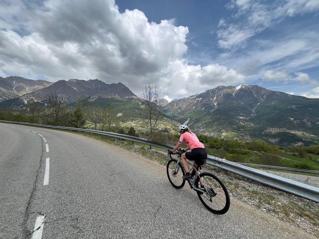
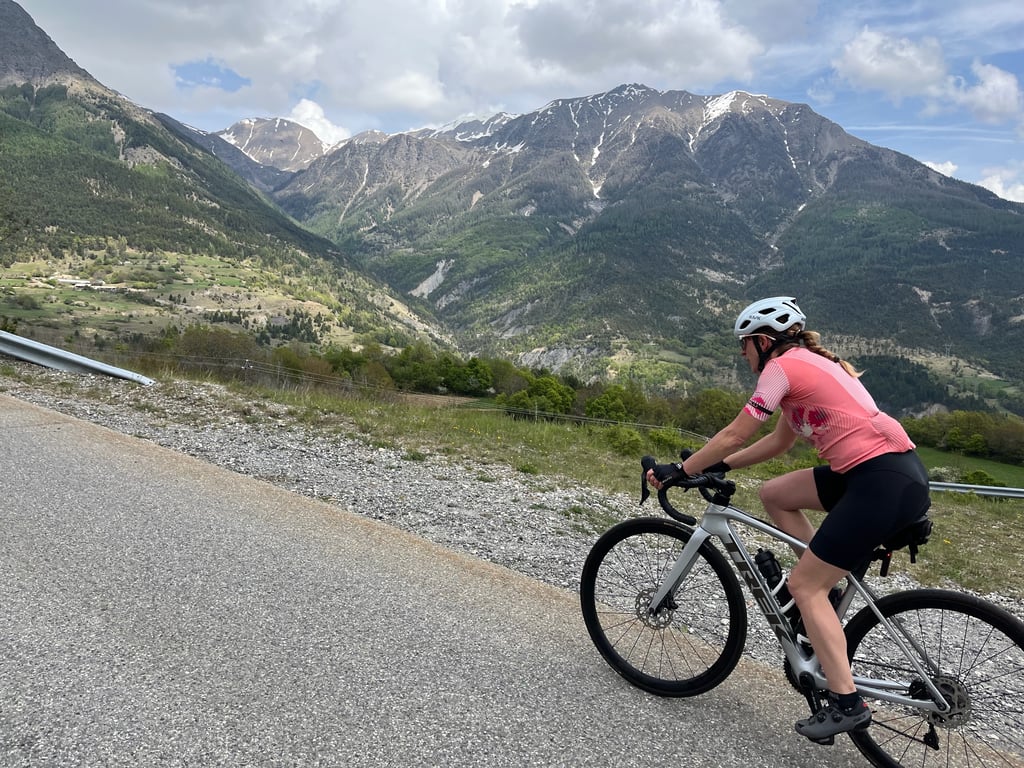
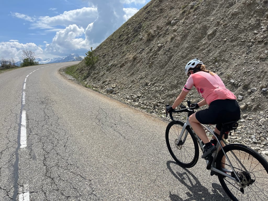
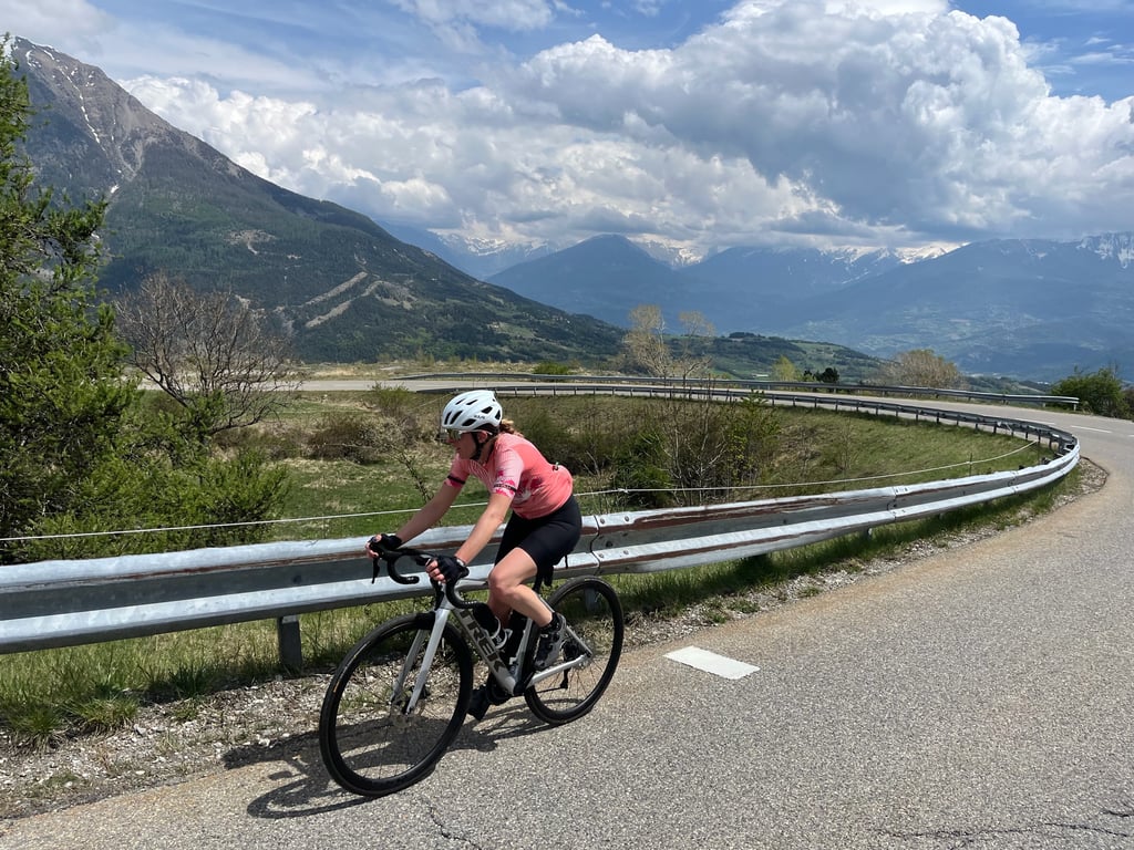
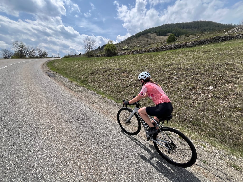
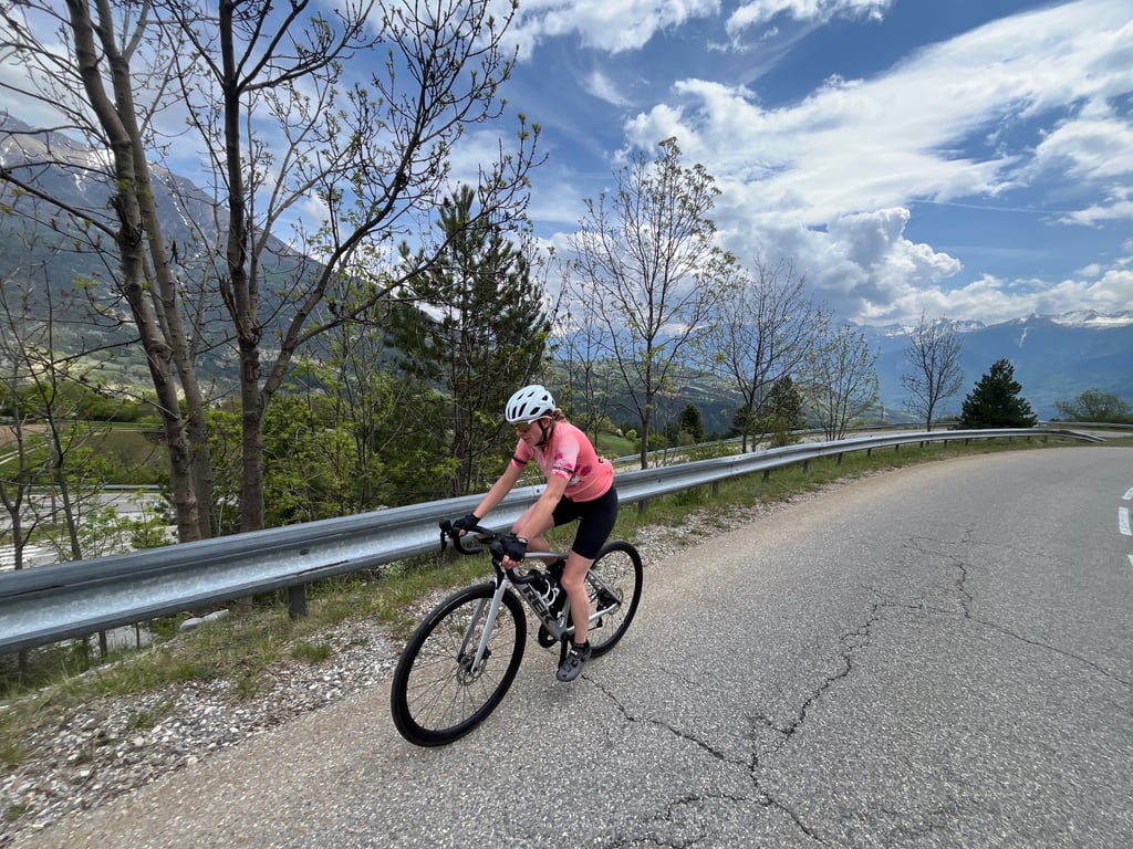
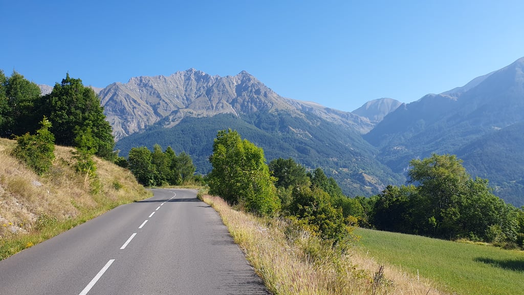
View on map
© MapLibre | OpenStreetMap contributors
1%
2%
4%
6%
8%
10%
12%
15%
20%

Station de Réallon from Savines le Lac

4.0
3 reviews | Elevation profile | 9 photos
Tips nearby
Station de Réallon from Savines le Lac
Your achievable time
Calculating based on your best performances...
Relaxed
Maximum
W/kg
W/kg
W/kg
Analyse your climbing performance
Detailed insight into your climbing performance & automatically check off climbs
Based on your best performances.
Your best attempt:
Number of attempts:
Elevation profile Station de Réallon from Savines le Lac
paved
cobbles
paved

Statistics

Difficulty points 550
Length 11.3 km
Average gradient 6.7%
Steepest 100 metres 10.9%
Total ascent 752 m

Short recap

Beautiful scenery
15 hairpin turns
#98 toughest climb of Provence-Alpes-Côte d'Azur
#84 most elevation gain of Provence-Alpes-Côte d'Azur
#33 longest climb of Hautes Alpes
Feedback about this climb?
Show climbs nearby Export to GPS device

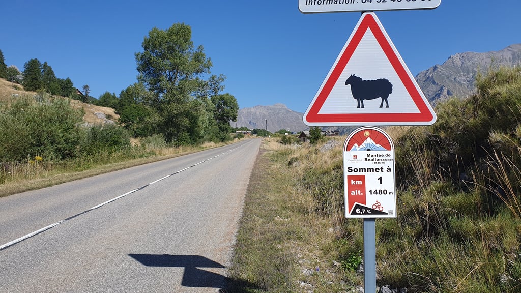
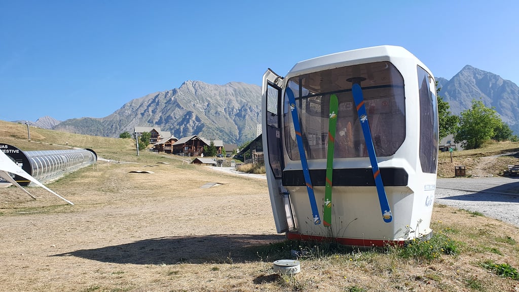
Station de Réallon from Savines le Lac is a climb in the region Serre Ponçon. It is 11.3 km long and bridges 752 m of vertical ascent with an average gradient of 6.7%, resulting in a difficulty score of 550. The top of the ascent is located at 1538 m above sea level. Climbfinder users shared 3 reviews of this climb and uploaded 9 photos.

Road name: D41

This is an automatic translation, the original language is: French.
It's possible to do a fairly long pass in this area, the start is a little more difficult than it looks on paper because it's uneven, but once you switch to the climb up to the station after the roundabout it's more regular. There is fresh drinking water at the station.... read more

Photos (9)

Station de Réallon from Savines le Lac
transparant thumb
transparant thumb
transparant thumb

Your uploads (max 4)

Welcome! Please activate your account if you would like to share something. Look for the verification email in your inbox.

If you want to upload your photos, you need to create an account. It only takes 1 minute and it's completely free.

  • Receive free climbfinder goodies for your reviews & photos.
  • Create a bucket list and check off conquered climbs.
  • Add missing climbs.
Continue with GoogleContinue with Google Continue with FacebookContinue with Facebook Continue with AppleContinue with Apple Sign up with email
By signing up you agree to our terms of service and confirm that you have read our privacy & content policy.

Reviews (3)

5.0
4.0
3.0
2.0
1.0
GuillaumeP37
9 Mo 4.0 via the Climbfinder app
This is an automatic translation, the original language is: French. Show original

It's possible to do a fairly long pass in this area, the start is a little more difficult than it looks on paper because it's uneven, but once you switch to the climb up to the station after the roundabout it's more regular. There is fresh drinking water at the station.

Permet de faire un col assez long dans ce coin , le début est un peu plus difficile que sur le papier car irrégulier , une fois qu'on bascule sur la montée de la station après le rond point c'est plus régulier . Il ya de l eau potable et fraîche a la station

Dashboard
NiekBenedict
10 Mo 4.0
This is an automatic translation, the original language is: Dutch. Show original

Lovely long climb with stunning views, especially on the descent. Quite irregular, unlike the profile suggests. The legs fill up nicely as a result!

Heerlijke lange klim met schitterende vergezichten, zeker ook in de afdaling. Vrij onregelmatig, anders dan het profiel doet vermoeden. De benen lopen daardoor lekker vol!

Dashboard
Apenstaartjekin
4 y 4.0 00:45:15 (15 km/h)
This is an automatic translation, the original language is: Dutch. Show original

Nice climb with good tarmac. The profile gives a distorted picture, the first 6km are very erratic. Constantly changing pace, a bit flat or slightly downhill and then up towards the 10%. The last 4km is good and brings you via a wide quiet road to the ski village. Although it is sometimes quite difficult, there can be quite a bit of wind those last few kilometers! There is little shelter from trees or the mountain wall.

Leuke klim met goed asfalt. Het profiel geeft een vertekend beeld, de eerste 6km zijn zeer grillig. Constant van tempo verwisselen, stukje vlak of licht naar beneden om vervolgens weer richting de 10% te stijgen. De laatste 4km loopt wel lekker en brengt je via een brede rustige weg naar het skidorp. Al is het soms best lastig, er kan best wel wat wind staan die laatste kilometers! Er is namelijk weinig beschutting van bomen of de bergwand.

Dashboard

Climbing times

7 km/h 01:36:41
11 km/h 01:01:31
15 km/h 00:45:07
19 km/h 00:35:37

Road surface condition

100% 0% 0%
Based on 4 votes
Share your knowledge. What was the road condition during your ascent?

Traffic

75% 25% 0%
Based on 4 votes
Your experience counts. How much traffic did you encounter during the climb?

Frequently Asked Questions

Station de Réallon can be cycled from 2 sides. Station de Réallon from Savines le Lac is the most popular side, but the summit can also be reached via Station de Réallon from Champ Long.

Station de Réallon from Savines le Lac is a challenging ascent. For this type of climbing, we recommend mountain gearing, specifically a compact system. This means a small front chainring of 34 teeth, combined with a rear cassette where, depending on your level, strength, and experience, you choose a sprocket with 30, 32, or even 34 teeth. Remember that a smooth cadence is always more efficient!

Station de Réallon from Savines le Lac is a serious climb and falls into the 2nd category. With a good basic fitness level, even without much cycling experience, you can complete this climb just fine. However, a bike with climbing gears is a must. Without experience or training, it will be really tough – but that’s part of the challenge!

Station de Réallon from Savines le Lac is 11.3 km long.

The average gradient of Station de Réallon from Savines le Lac is 6.7%.

Station de Réallon from Savines le Lac has a steepest segment with an average gradient of 10.9%.

The summit of Station de Réallon from Savines le Lac is at 1538 m.

At a slow pace of 7 km/h, it takes about 01:36:41 to climb Station de Réallon from Savines le Lac. At 11 km/h the time is 01:01:31, and at 15 km/h 00:45:07. For the fastest cyclists, 00:35:37 is an achievable time.

Station de Réallon from Savines le Lac is located in the region Hautes Alpes in France.

This page is better in the app

Climbfinder app
Climbfinder
(Free)
Open