| #82 average steepest climb of France |
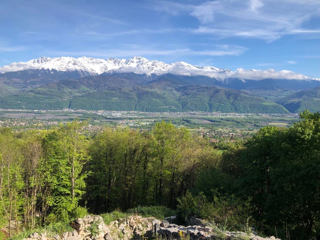
Chemin de la Tour d'Arces from Saint Ismier is a climb in the region Grenoble. It is 1.6 km long and bridges 222 m of vertical ascent with an average gradient of 14.3%, resulting in a difficulty score of 347. The top of the ascent is located at 587 m above sea level. Climbfinder users shared 2 reviews of this climb and uploaded 2 photos.
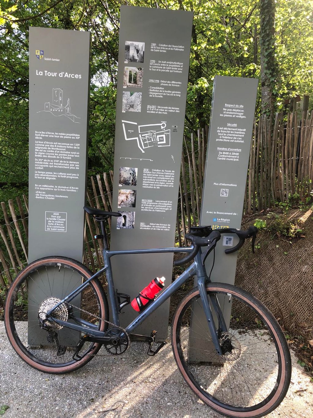
Road names: Chemin de Ribotière & Chemin de la Tour d'Arces
3.0 by LucSouThis is an automatic translation, the original language is: French.Not a climb for a road bike! After the barrier it's gravel with good potholes, and after the bend there's no more asphalt. The view is nice though... read more
Welcome! Please activate your account if you would like to share something. Look for the verification email in your inbox.
If you want to upload your photos, you need to create an account. It only takes 1 minute and it's completely free.
Not a climb for a road bike!
After the barrier it's gravel with good potholes, and after the bend there's no more asphalt.
The view is nice though
Montée à ne pas faire avec un vélo du route!
Après la barrière c'est gravillonné avec des bon nids de poules, et après le virage il n'y a plus d'asphalte.
Le point de vue est chouette sinon
It's not a new climb for me, as I did it thirty years ago... Back then the final part was gravel, if I remember correctly. However, I remember perfectly well the steepness of the slope, so the percentages shown here come as no surprise.
The tower towers impressively over the whole valley, and I imagine that it must have been used as an observation tower in ancient times.
Une montée qui ne me rajeunit pas, puisque je l'ai effectuée il y a bien trente ans… À l'époque la partie finale était en gravier, si je me souviens bien. Je me souviens par contre parfaitement de la dureté de la pente, et les pourcentages indiqués ici ne me surprennent donc pas.
La tour dominant de façon impressionnante toute la vallée, j'imagine qu'elle devait servir de tour de guet d'observation dans les temps anciens.
| 7 km/h | 00:13:17 |
| 11 km/h | 00:08:27 |
| 15 km/h | 00:06:12 |
| 19 km/h | 00:04:53 |
This page is better in the app