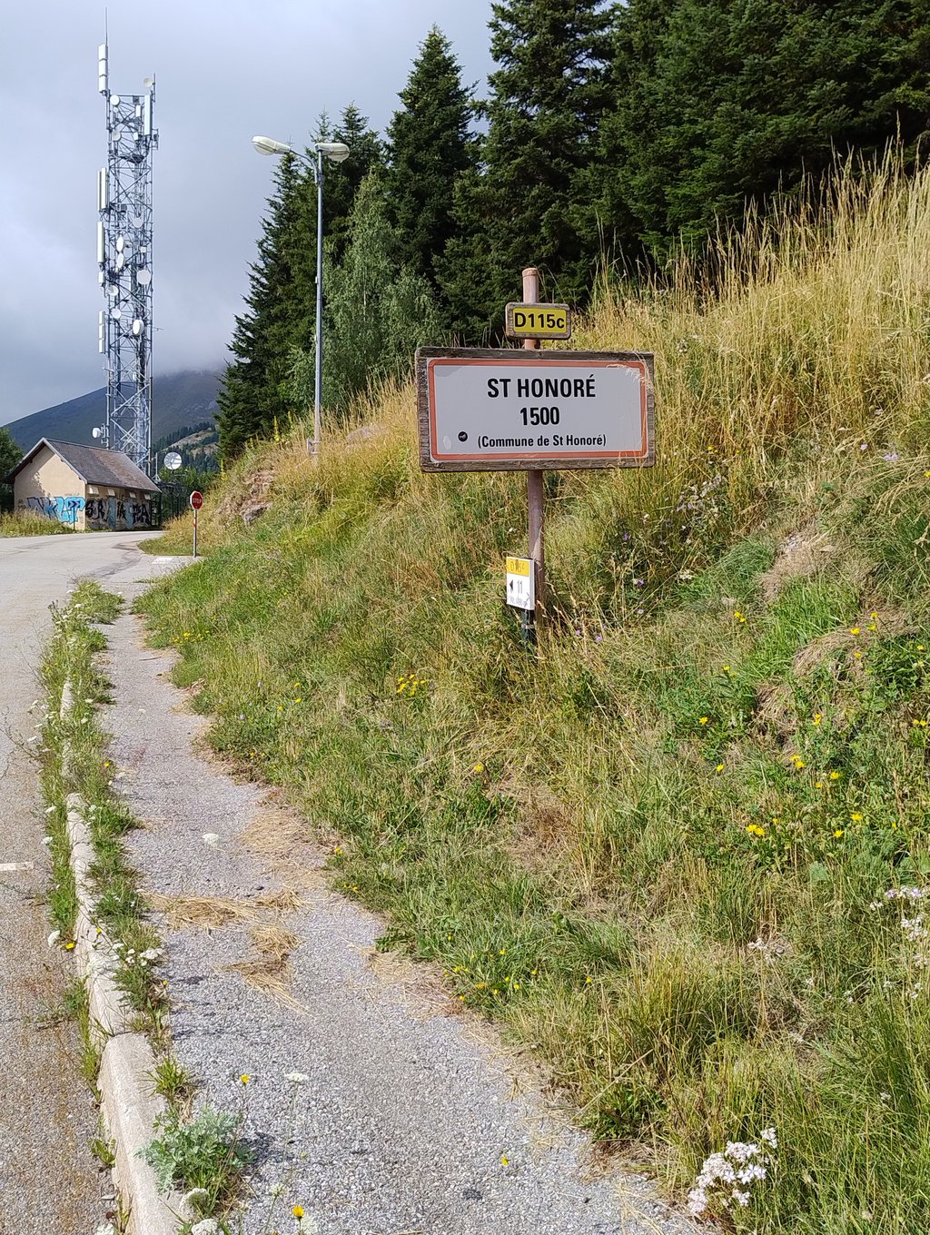
Saint Honoré 1500 from Fugières is a climb in the region Grenoble. It is 6.9 km long and bridges 471 m of vertical ascent with an average gradient of 6.8%, resulting in a difficulty score of 406. The top of the ascent is located at 1498 m above sea level. Climbfinder users shared 3 reviews of this climb and uploaded 7 photos.
Road name: D115c
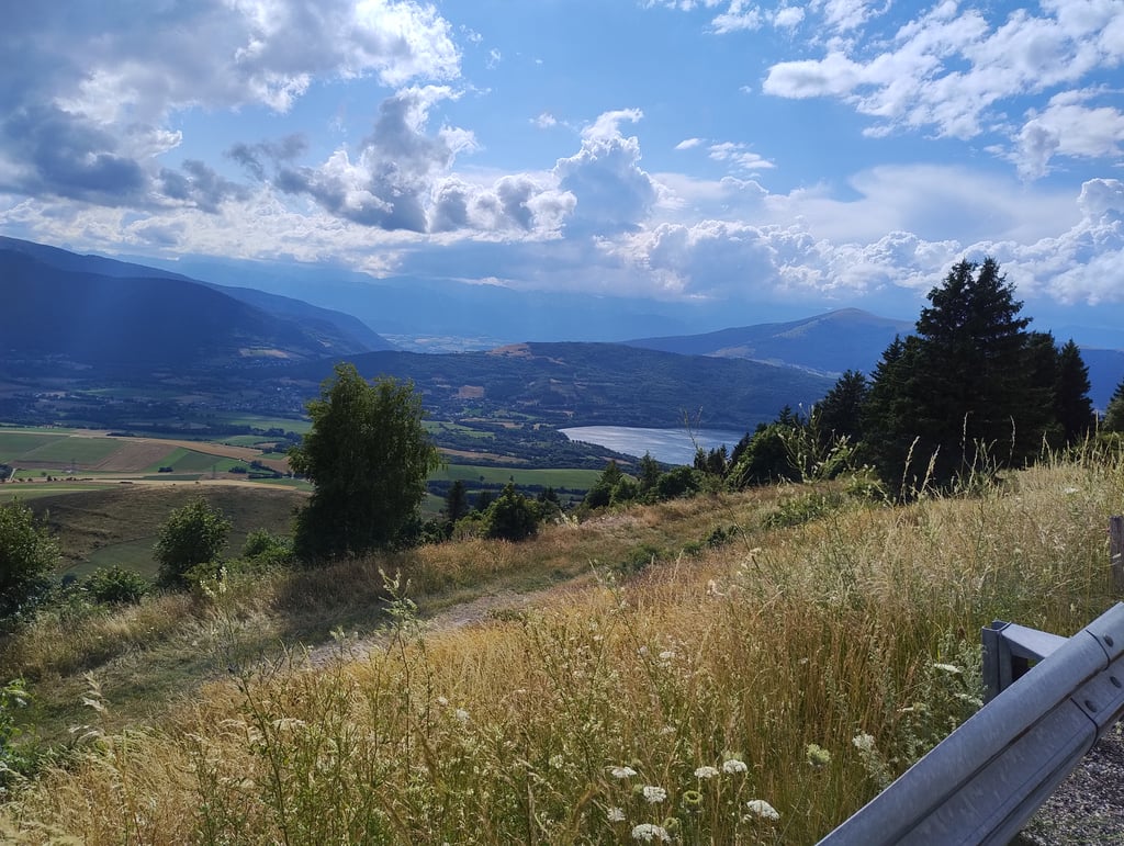
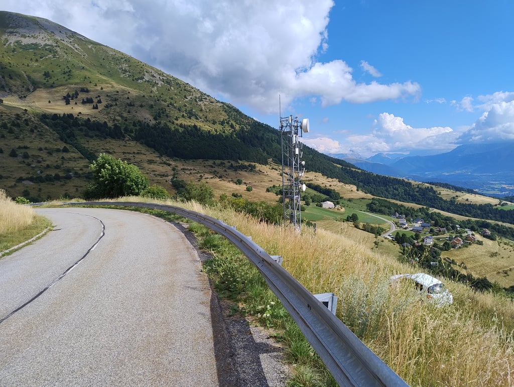
4.0 by cedricg95This is an automatic translation, the original language is: French.Top, no traffic and road in good condition. The view from the top of the plateau is really nice.... read more
Welcome! Please activate your account if you would like to share something. Look for the verification email in your inbox.
If you want to upload your photos, you need to create an account. It only takes 1 minute and it's completely free.
Top, no traffic and road in good condition. The view from the top of the plateau is really nice.
Top, pas de circulation et route en bon état. La vue en haut sur le plateau est vraiment sympa
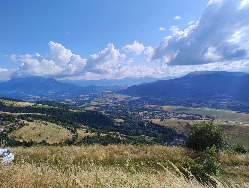
Very pleasant. The view of the Matheysin plateau and the lakes is lovely. The road is beautiful and not very busy.
However, the start of the pass is not at Fugières (alt. 1034m) but at Tors (alt. 895m), between Tors and les Mazuers it's really quiet but between les Mazuers and Fugières the pass starts in earnest. The real ones start at the roundabout "Saint Honoré" at the very bottom of Tors :)
Très agréable. La vue sur le plateau Matheysin et les lacs est sympa. La route est belle et peu fréquentée.
Cependant le début du col ne se trouve pas à Fugières (alt. 1034m) mais à Tors (alt. 895m) , entre Tors et les Mazuers c'est vraiment tranquille mais entre les Mazuers et Fugières le col commence pour de bon. Les vrais partent du rond-point "Saint Honoré" tout en bas de Tors :)
Nice, not too difficult climb. The slope is actually about 9 km long if you start from the village of Saint Honoré itself.
Leuke, niet al te zware klim. De helling is eigenlijk circa 9 km lang als je vanuit het dorp Saint Honoré zelf start.
| 7 km/h | 00:59:15 |
| 11 km/h | 00:37:42 |
| 15 km/h | 00:27:39 |
| 19 km/h | 00:21:50 |
This page is better in the app