Ryveld via Rue du Ryveld is a climb in the region West-Flemish Hills. It is 0.4 km long and bridges 17 m of vertical ascent with an average gradient of 4%, resulting in a difficulty score of 8. The top of the ascent is located at 65 m above sea level. Climbfinder users shared 1 review/story of this climb and uploaded 2 photos.
This is an automatic translation, the original language is: French.
Show original
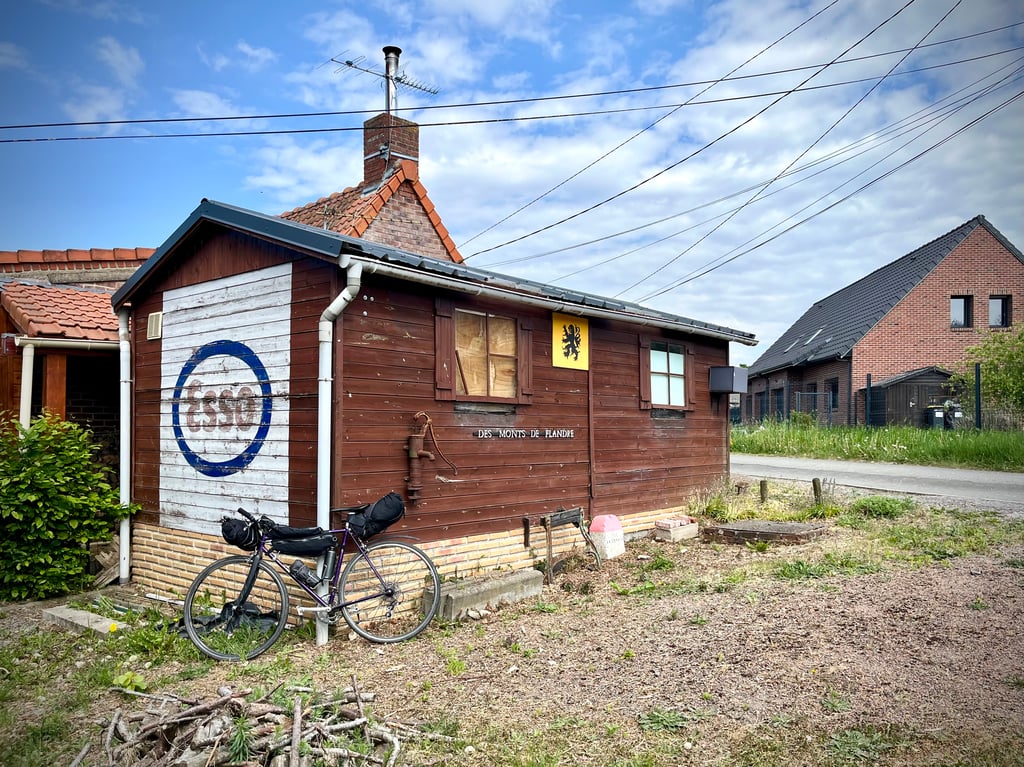
A cute little road that's extremely easy.
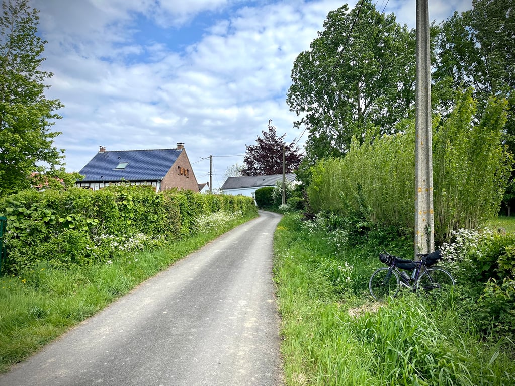
It's on the path between Mont Cassel and Mont des Cats.
A pleasant plunge into deepest Flanders.
Une petite route mignonne et extrêmement facile.
C’est sur le chemin entre le Mont Cassel et le Mont des Cats.
Une agréable plongée dans les Flandres profondes.
Share your knowledge. What was the road condition during your ascent?
Traffic
100% 0% 0%
Based on 1 vote
Your experience counts. How much traffic did you encounter during the climb?
Frequently Asked Questions
You don't need special gearing for Ryveld via Rue du Ryveld. The slope isn't long or steep enough to require much shifting down. You can conquer this climb on power alone. However, a compact gearing system with a smallest front chainring of 34 and largest rear sprocket of 28 or 30 is always nice if you enjoy cycling uphill. This helps maintain a smooth cadence.
Ryveld via Rue du Ryveld is not tough enough to be assigned a mountain category. This means that even untrained cyclists can reach the top without any problems on this climb.
Ryveld via Rue du Ryveld is 0.4 km long.
The average gradient of Ryveld via Rue du Ryveld is 4%.
Ryveld via Rue du Ryveld has a steepest segment with an average gradient of 8.1%.
The summit of Ryveld via Rue du Ryveld is at 65 m.
At a slow pace of 7 km/h, it takes about 00:03:41 to climb Ryveld via Rue du Ryveld. At 11 km/h the time is 00:02:20, and at 15 km/h 00:01:43. For the fastest cyclists, 00:01:21 is an achievable time.
Ryveld via Rue du Ryveld is located in the region Nord in France.