View on map
© MapLibre | OpenStreetMap contributors
1%
2%
4%
6%
8%
10%
12%
15%
20%

Route de Lançon from Albertville

2.5
2 reviews | Elevation profile | 3 photos
Tips nearby
Route de Lançon from Albertville
transparant thumb
transparant thumb
transparant thumb
transparant thumb
transparant thumb
Your achievable time
Calculating based on your best performances...
Relaxed
Maximum
W/kg
W/kg
W/kg
Analyse your climbing performance
Detailed insight into your climbing performance & automatically check off climbs
Based on your best performances.
Your best attempt:
Number of attempts:
Elevation profile Route de Lançon from Albertville

Statistics

Difficulty points 168
Length 3.3 km
Average gradient 6.8%
Steepest 100 metres 11.4%
Total ascent 220 m

Short recap

8 hairpin turns
#88 average steepest climb of Annecy
Feedback about this climb?
Show climbs nearby Export to GPS device

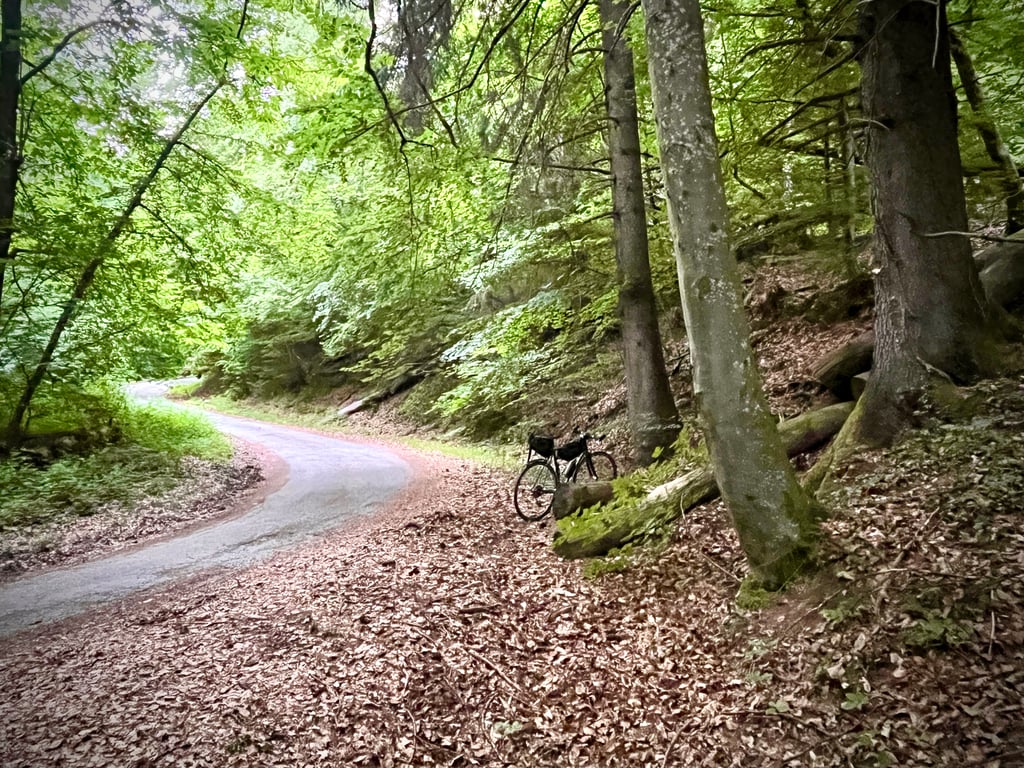
Route de Lançon from Albertville is a climb in the region Annecy. It is 3.3 km long and bridges 220 m of vertical ascent with an average gradient of 6.8%, resulting in a difficulty score of 168. The top of the ascent is located at 792 m above sea level. Climbfinder users shared 2 reviews of this climb and uploaded 3 photos.

Road name: Route du Tal
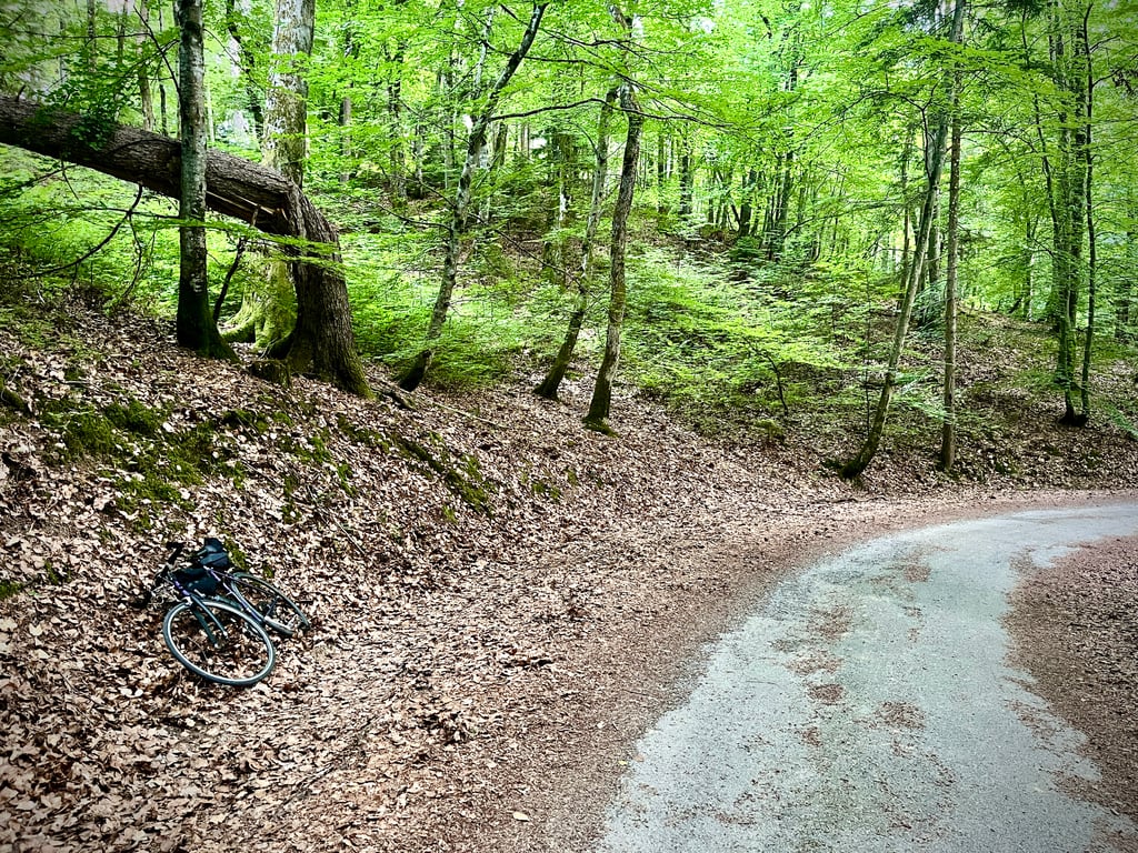
3.0 by Cromagnon
This is an automatic translation, the original language is: French.
Serge is right: you already have to climb 4km from Albertville to reach this rue de Lançon, which then takes you completely out of town. It's a deserted road whose condition deteriorates slightly as you climb. The forest is quite pleasant. A pleasant little climb. I give it three stars so that it scores 2.5...... read more

Photos (3)

Route de Lançon from Albertville
transparant thumb
transparant thumb
transparant thumb

Your uploads (max 4)

Welcome! Please activate your account if you would like to share something. Look for the verification email in your inbox.

If you want to upload your photos, you need to create an account. It only takes 1 minute and it's completely free.

  • Receive free climbfinder goodies for your reviews & photos.
  • Create a bucket list and check off conquered climbs.
  • Add missing climbs.
Continue with GoogleContinue with Google Continue with FacebookContinue with Facebook Continue with AppleContinue with Apple Sign up with email
By signing up you agree to our terms of service and confirm that you have read our privacy & content policy.

Reviews (2)

5.0
4.0
3.0
2.0
1.0
Cromagnon
3 d 3.0
This is an automatic translation, the original language is: French. Show original

Serge is right: you already have to climb 4km from Albertville to reach this rue de Lançon, which then takes you completely out of town. It's a deserted road whose condition deteriorates slightly as you climb. The forest is quite pleasant. A pleasant little climb. I give it three stars so that it scores 2.5...

Serge a raison : il faut déjà grimper 4km depuis Albertville pour atteindre cette rue de Lançon, qui ensuite, nous sort complètement de la ville. Une route déserte dont l’état se dégrade légèrement au fur et à mesure de la montée. La forêt est plutôt agréable. Une sympathique petite côte. Je donne trois étoiles afin que sa note soit de 2,5…

Route de Lançon from Albertville
Dashboard
sergenavetat
1 y 2.0
This is an automatic translation, the original language is: French. Show original

Normally this climb starts lower down, at the end of Rue Gambetta in the heart of Albertville, which adds a little difficulty.
A variation of the Rte de Bongain, except that instead of going up the left-hand side, you go up the right-hand side.

Normalement cette ascension commence plus bas, au bout de la rue Gambetta au cœur D'Albertville ce qui ajoute un peu de difficulté.
Variante de la Rte de Bongain sauf qu'au lieu de passer par le coté gauche, on passe à droite.

Dashboard

Climbing times

7 km/h 00:27:56
11 km/h 00:17:46
15 km/h 00:13:02
19 km/h 00:10:17

Road surface condition

0% 100% 0%
Based on 1 vote
Share your knowledge. What was the road condition during your ascent?

Traffic

100% 0% 0%
Based on 1 vote
Your experience counts. How much traffic did you encounter during the climb?

Frequently Asked Questions

Route de Lançon can be cycled from 3 sides. Le Borbois is the most popular side, but the summit can also be reached via Le Borbois from Albertville & Route de Lançon from Albertville.

Route de Lançon from Albertville is a challenging ascent. For this type of climbing, we recommend mountain gearing, specifically a compact system. This means a small front chainring of 34 teeth, combined with a rear cassette where, depending on your level, strength, and experience, you choose a sprocket with 30, 32, or even 34 teeth. Remember that a smooth cadence is always more efficient!

Route de Lançon from Albertville is a 3rd-category climb. Almost anyone can handle this climb, as long as you have a bike with climbing gears. If you have little training, you will probably need to shift down significantly. For experienced riders, Route de Lançon from Albertville is not a problem.

Route de Lançon from Albertville is 3.3 km long.

The average gradient of Route de Lançon from Albertville is 6.8%.

Route de Lançon from Albertville has a steepest segment with an average gradient of 11.4%.

The summit of Route de Lançon from Albertville is at 792 m.

At a slow pace of 7 km/h, it takes about 00:27:56 to climb Route de Lançon from Albertville. At 11 km/h the time is 00:17:46, and at 15 km/h 00:13:02. For the fastest cyclists, 00:10:17 is an achievable time.

Route de Lançon from Albertville is located in the region Savoie in France.

This page is better in the app

Climbfinder app
Climbfinder
(Free)
Open