Tips nearby


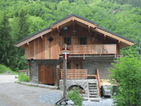
Route du Chêne is a climb in the region Savoie. It is 3.6 km long and bridges 270 m of vertical ascent with an average gradient of 7.5%, resulting in a difficulty score of 204. The top of the ascent is located at 1151 m above sea level. Climbfinder users shared 1 review/story of this climb and uploaded 4 photos.
Road name: Route du Chêne
2.0 by CromagnonThis is an automatic translation, the original language is: French.Another short climb that cyclists tend to give a wide berth. Let’s be clear: it’s not one of the must-do climbs. At least it’ll get a photo and a comment. From Landry, we take the D87, which is the road up to Pesey (This short climb is 5km long). Then, you need to turn left at a bend to join the Route du Chêne. You pass through the hamlet of the same name, which won’t leave any lasting impression, and climb up to another hamlet that I’ve already forgotten everything about, right down ... read more
Welcome! Please activate your account if you would like to share something. Look for the verification email in your inbox.
If you want to upload your photos, you need to create an account. It only takes 1 minute and it's completely free.
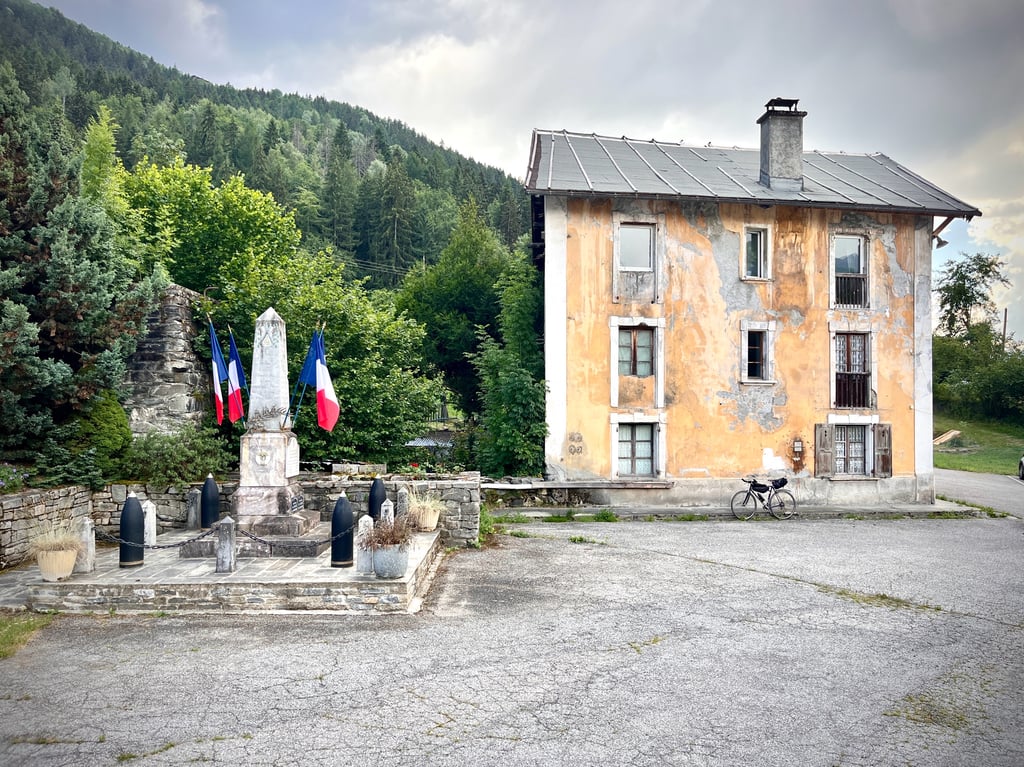
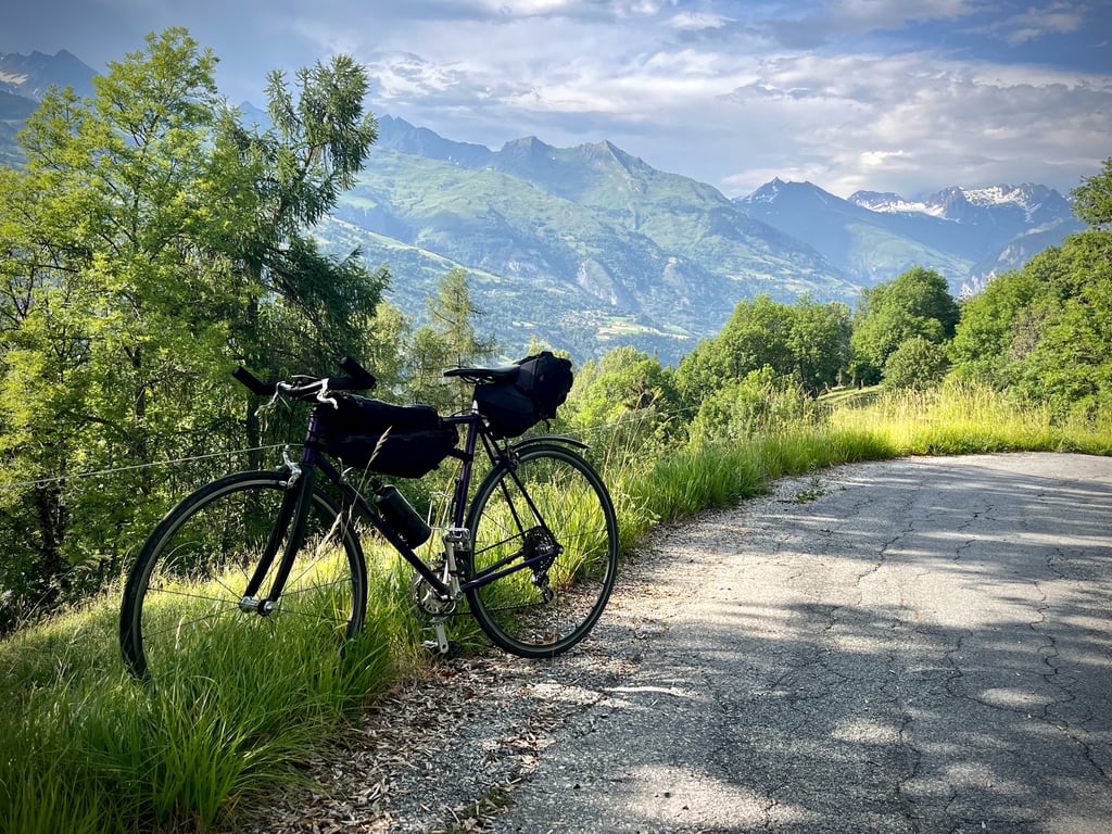
Another short climb that cyclists tend to give a wide berth. Let’s be clear: it’s not one of the must-do climbs. At least it’ll get a photo and a comment.
From Landry, we take the D87, which is the road up to Pesey (This short climb is 5km long). Then, you need to turn left at a bend to join the Route du Chêne. You pass through the hamlet of the same name, which won’t leave any lasting impression, and climb up to another hamlet that I’ve already forgotten everything about, right down to its name.
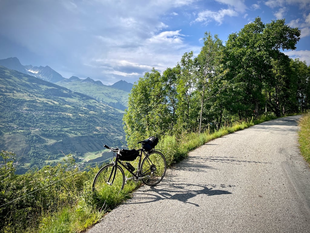
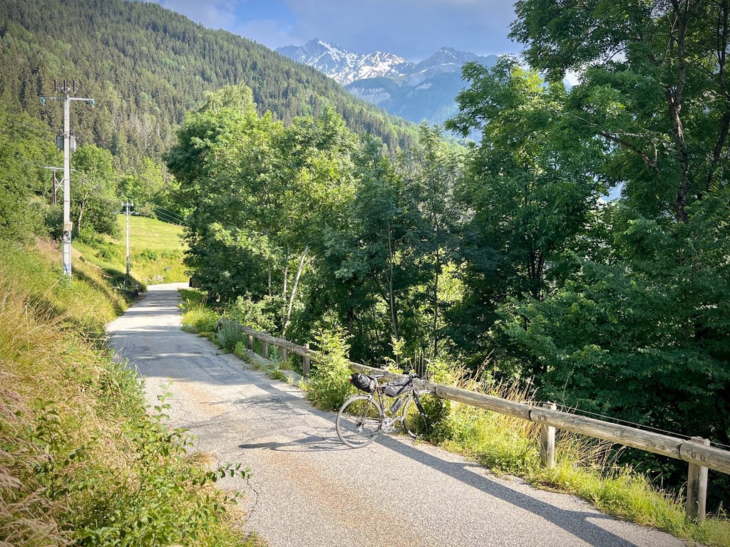
A narrow, quiet and clean road. The gradients are fairly consistent at around 7 or 8 per cent. Woodland, a few snow-capped peaks in the distance. Birds. Horse riders. A storm rumbling over La Plagne.
Nothing particularly breathtaking.
Encore une petite montée boudée par les cyclistes. Soyons clair : elle n’appartient pas à la liste des incontournables. Au moins, elle aura une photo et un commentaire.
Depuis Landry, on emprunte la D87, qui est la route de la montée de Pesey (Cette petite côte fera donc 5km). Puis, il faut obliquer à gauche dans un virage pour rejoindre la route du Chêne. On traverse le lieu dit éponyme, qui ne laissera aucun souvenir et on grimpe jusqu’à un autre lieu-dit dont j’ai déjà tout oublié, jusqu’au nom.
Une route étroite calme et propre. Les pourcentages sont assez constants aux alentours de 7 ou 8%. De la forêt, quelques cimes enneigées au loin. Les oiseaux. Des cavaliers. L’orage qui gronde sur La Plagne.
Rien de bien ébouriffant.
Ah si ! J’ai bien aimé le point de départ : cette vieille bicoque décatie et son digne monument aux morts.
| 7 km/h | 00:30:59 |
| 11 km/h | 00:19:43 |
| 15 km/h | 00:14:27 |
| 19 km/h | 00:11:24 |
This page is better in the app