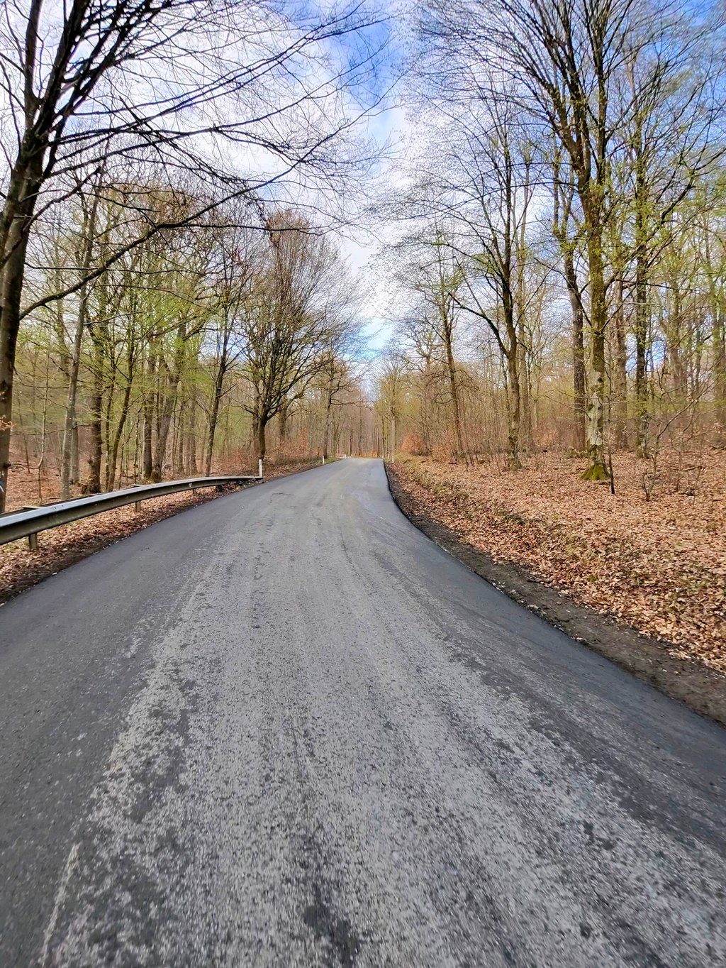
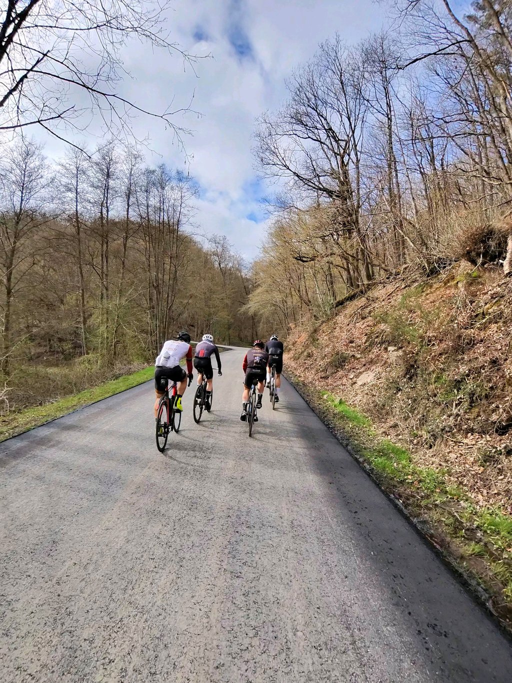
Route de Sohier from Daverdisse is a climb in the region Lesse Valley. It is 2.4 km long and bridges 162 m of vertical ascent with an average gradient of 6.6%, resulting in a difficulty score of 109. The top of the ascent is located at 390 m above sea level. Climbfinder users shared 1 review/story of this climb and uploaded 2 photos.
Road name: Chemin de Daverdisse
4.0 by MatteoDeze klim gedaan April 2026 en op dat moment stonden er borden voor wegenwerken. Je kan perfect door maar opletten want in het begin van de afdaling ontbreekt een laag van het asfalt en moet je jumpen. De klim zelf is regelmatig en klimt mooi door een bosje.... read more
Welcome! Please activate your account if you would like to share something. Look for the verification email in your inbox.
If you want to upload your photos, you need to create an account. It only takes 1 minute and it's completely free.
Done this climb April 2026 and at that time there were signs for roadworks. You can go through perfectly but watch out because at the start of the descent a layer of the tarmac is missing and you have to jump. The climb itself is regular and climbs nicely through a bush.
Deze klim gedaan April 2026 en op dat moment stonden er borden voor wegenwerken. Je kan perfect door maar opletten want in het begin van de afdaling ontbreekt een laag van het asfalt en moet je jumpen. De klim zelf is regelmatig en klimt mooi door een bosje.
| 7 km/h | 00:20:55 |
| 11 km/h | 00:13:18 |
| 15 km/h | 00:09:45 |
| 19 km/h | 00:07:42 |
This page is better in the app