| Rank | Climb |
|---|---|
|
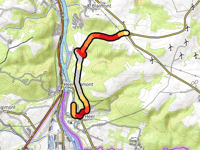
Côte Marie-Thérèse / Côte des Quatre Chemins from Heer-Agimont
4.8 km
4.6%
167
|
|
|
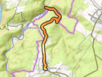
Côte de la Croix Javalle from Tellin via Rue Saint-Joseph
1.7 km
8.7%
148
|
|
|
Les Hazeilles from Mirwart
2.4 km
6.3%
145
|
|
| 4 |
Dréhance via Walzin
3.7 km
5.4%
144
|
| 5 |
Côte de Daverdisse / Le Gros Bois
4.4 km
4.7%
143
|
| 6 |
Hérin via Séchery
2.5 km
6.7%
138
|
| 7 |
Les Alwins from Tellin
2.2 km
6.4%
133
|
| 8 |
Chemin du Bois from Resteigne
2.7 km
6.6%
130
|
| 9 |
Côte de Hamaide via Séchery
3.2 km
5.5%
130
|
| 10 |
Bois de Transinne from Chanly via Tellin
13.6 km
2.3%
127
|
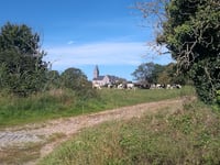
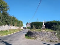
In the region Lesse Valley cyclists can find 189 interesting climbs between 96 m and 503 m above sea level. Côte Marie-Thérèse / Côte des Quatre Chemins from Heer-Agimont is the toughest ascent with a difficulty score of 167. Climbs have an average length of 2.6 km and 109 m of total ascent.
This page is better in the app