Tips nearby


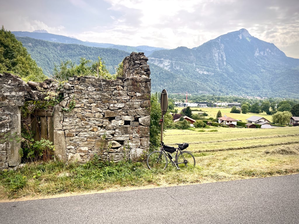
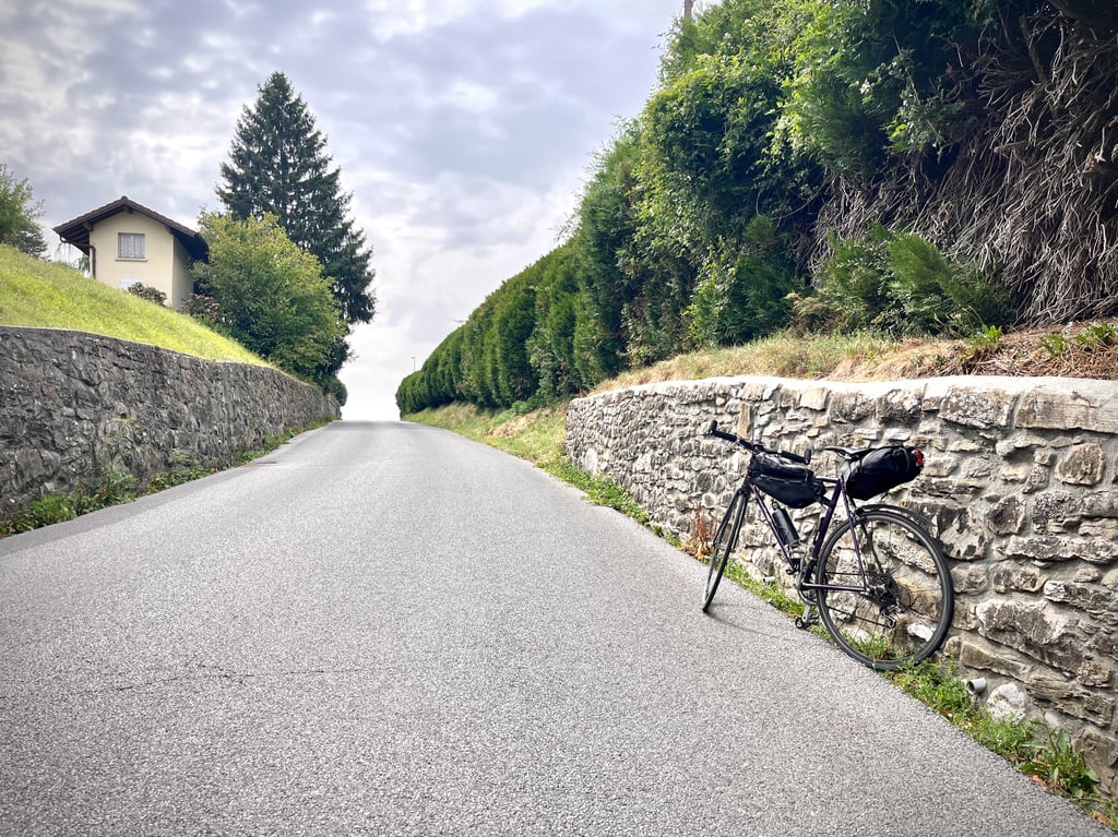
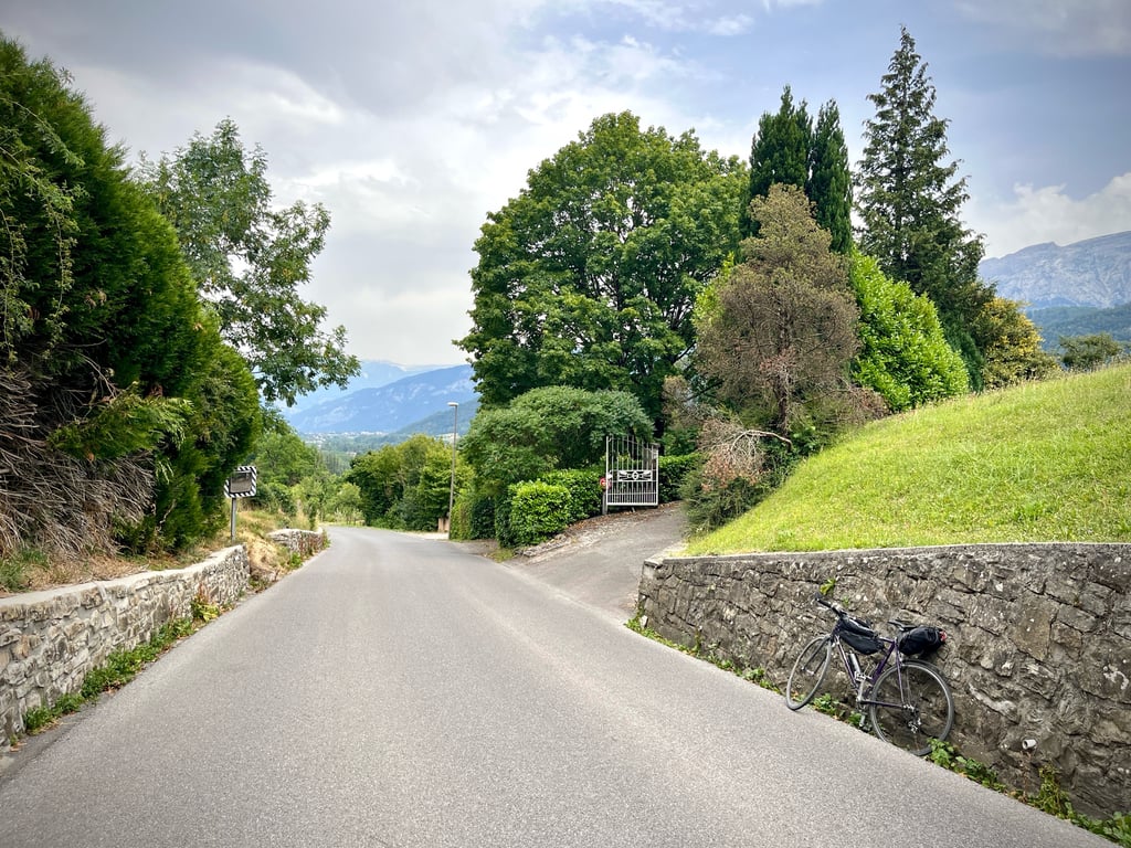
Route de Marignier is a climb in the region Haute Savoie. It is 1.3 km long and bridges 64 m of vertical ascent with an average gradient of 5%, resulting in a difficulty score of 35. The top of the ascent is located at 527 m above sea level. Climbfinder users shared 1 review/story of this climb and uploaded 3 photos.
Road names: Route d'Ayse & Route de Marignier
2.0 by CromagnonThis is an automatic translation, the original language is: French.Yesterday, the Solaison plateau. Today, some gentle little climbs for the lazy. It’s short. It’s easy. The road’s in excellent condition. It fits in nicely with a ride between Bonneville, Cluses and Marignier.... read more
Welcome! Please activate your account if you would like to share something. Look for the verification email in your inbox.
If you want to upload your photos, you need to create an account. It only takes 1 minute and it's completely free.
 Continue with Google
 Continue with Facebook
 Continue with Apple
Sign up with email
Continue with Apple
Sign up with email
Yesterday, the Solaison plateau. Today, some gentle little climbs for the lazy.
It’s short. It’s easy. The road’s in excellent condition. It fits in nicely with a ride between Bonneville, Cluses and Marignier.
Hier, le plateau de Solaison. Aujourd’hui, des petites côtes de feignasse.
C’est court. C’est doux. Route en excellent état. Ça s’intègre bien dans une balade entre Bonneville, Cluses et Marignier.
| 7 km/h | 00:10:54 |
| 11 km/h | 00:06:56 |
| 15 km/h | 00:05:05 |
| 19 km/h | 00:04:01 |
This page is better in the app