Route de Calais from Wimille is a climb in the region Caps et Marais d'Opale. It is 0.9 km long and bridges 65 m of vertical ascent with an average gradient of 7.4%, resulting in a difficulty score of 54. The top of the ascent is located at 91 m above sea level. Climbfinder users shared 1 review/story of this climb and uploaded 1 photo.
Road name: Route de Calais
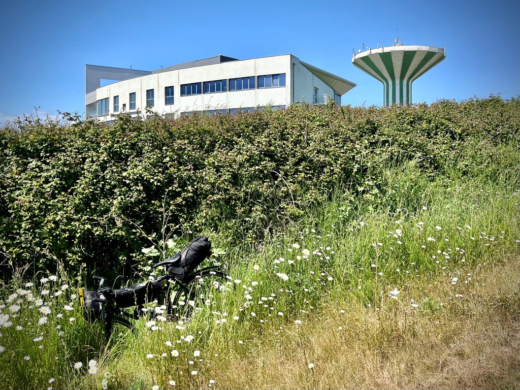
2.0 by CromagnonThis is an automatic translation, the original language is: French.An insipid main road that runs alongside the motorway and its din. At the top, a water tower and the huge tax office. And that's it! A climb that doesn't seem absolutely essential unless you're heading for Calais.... read more
Welcome! Please activate your account if you would like to share something. Look for the verification email in your inbox.
If you want to upload your photos, you need to create an account. It only takes 1 minute and it's completely free.
An insipid main road that runs alongside the motorway and its din. At the top, a water tower and the huge tax office. And that's it!
A climb that doesn't seem absolutely essential unless you're heading for Calais.
Une grande route départementale insipide qui longe l’autoroute et son vacarme. En haut, un château d’eau et l’énorme hotel des Impôts. Voilà !
Une montée qui ne me semble pas absolument indispensable sauf si l’on va en direction de Calais.
| 7 km/h | 00:07:34 |
| 11 km/h | 00:04:49 |
| 15 km/h | 00:03:32 |
| 19 km/h | 00:02:47 |
This page is better in the app