Tips nearby


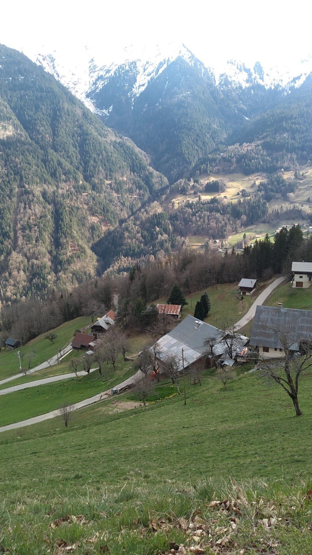
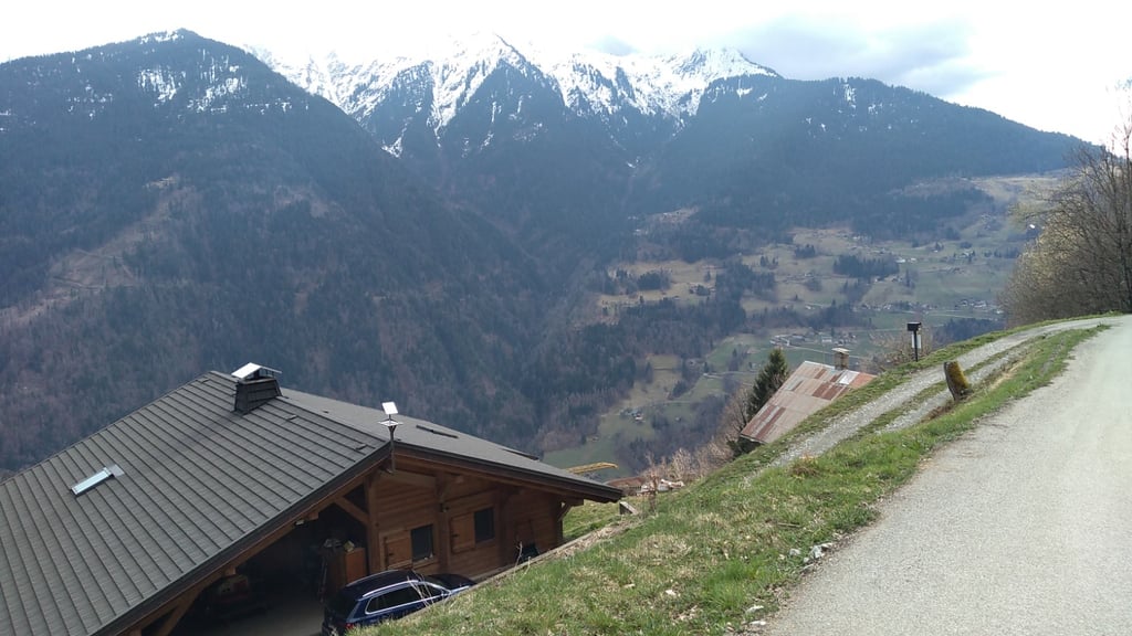
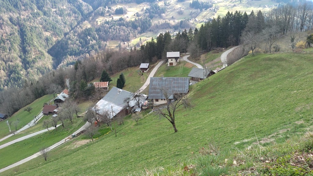
Route d'Outrechenais from Queige is a climb in the region Annecy. It is 5.8 km long and bridges 502 m of vertical ascent with an average gradient of 8.7%, resulting in a difficulty score of 444. The top of the ascent is located at 1085 m above sea level. Climbfinder users shared 1 review/story of this climb and uploaded 4 photos.
Road names: Route d'Outrechenais
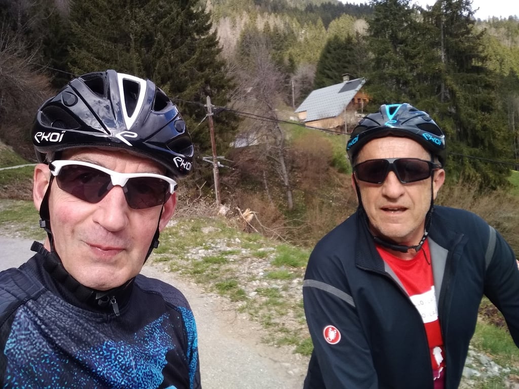
4.0 by sergenavetatThis is an automatic translation, the original language is: French.A good little climb I did with Éric on 25 March 2025, starting in the Arly valley via the Col de Montessuit, which represents a distance of 14km and a height difference of around 1000M... The climb proper begins in Queige on the alternative Rte (in poor condition) that leads to Villard sur Doron. You follow this Rte for 2.8km before turning left onto the Rte D'Outrechenais, which is in good condition. There are lots of twists and turns on a fairly steep slope in places, and some great vi... read more
Welcome! Please activate your account if you would like to share something. Look for the verification email in your inbox.
If you want to upload your photos, you need to create an account. It only takes 1 minute and it's completely free.
A good little climb I did with Éric on 25 March 2025, starting in the Arly valley via the Col de Montessuit, which represents a distance of 14km and a height difference of around 1000M...
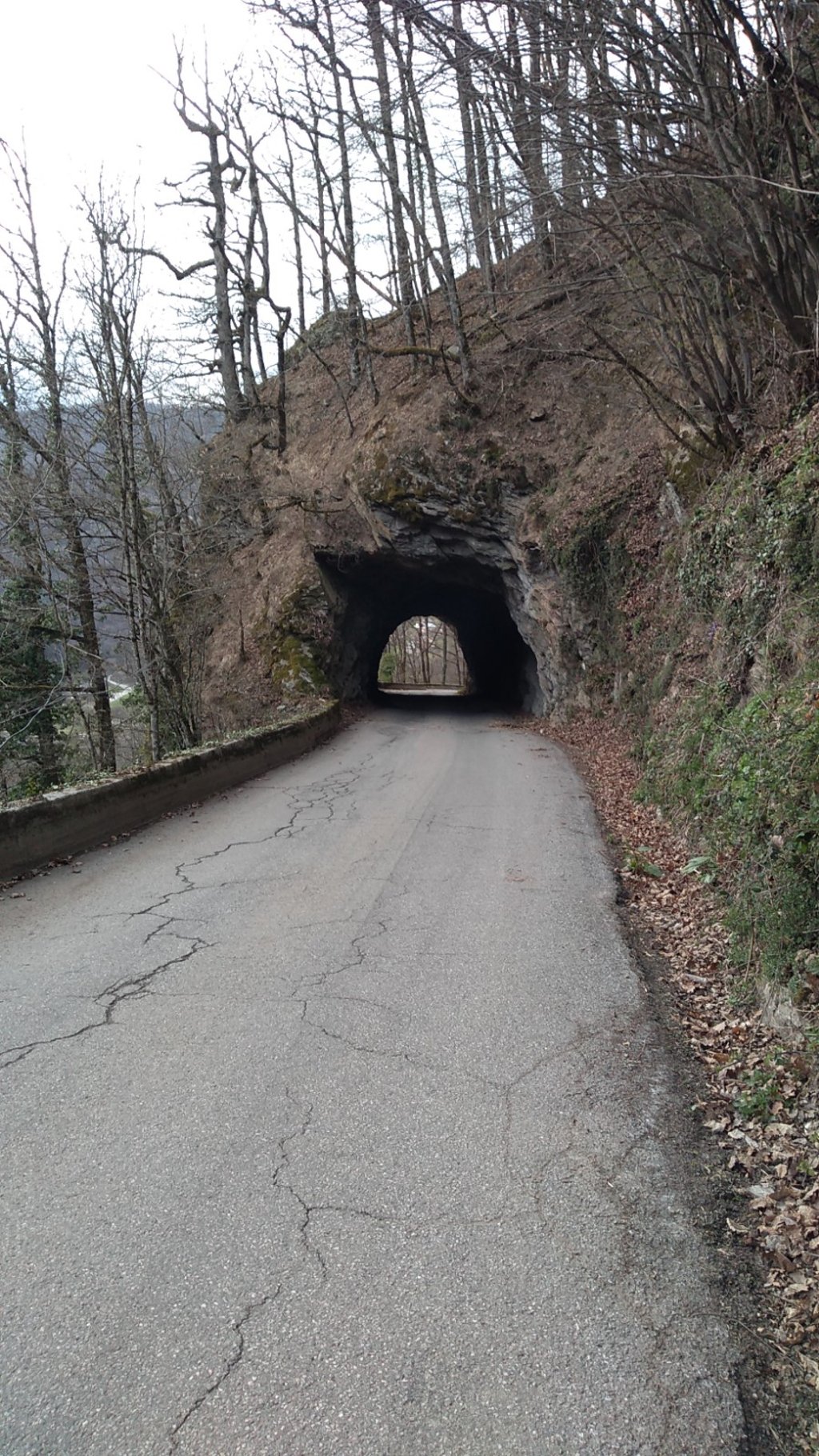
The climb proper begins in Queige on the alternative Rte (in poor condition) that leads to Villard sur Doron. You follow this Rte for 2.8km before turning left onto the Rte D'Outrechenais, which is in good condition.
There are lots of twists and turns on a fairly steep slope in places, and some great views of the mountains opposite.
Une bonne petite ascension effectuée avec Éric le 25 mars 2025 en partant de la vallée de l'Arly via le col de Montessuit ce qui représente 14km en distance pour environ 1000M de dénivellé...
L'ascension à proprement parler débute à Queige sur la Rte ( en mauvais état ) alternative qui mène à Villard sur Doron , vous suivez cette Rte pendant 2,8km pour ensuite prendre à gauche la Rte D'Outrechenais qui est en bon état.
Beaucoup de lacets dans une pente assez raide par endroits et de beaux points de vue sur les massifs en face.
| 7 km/h | 00:49:37 |
| 11 km/h | 00:31:34 |
| 15 km/h | 00:23:09 |
| 19 km/h | 00:18:17 |
This page is better in the app