Tips nearby


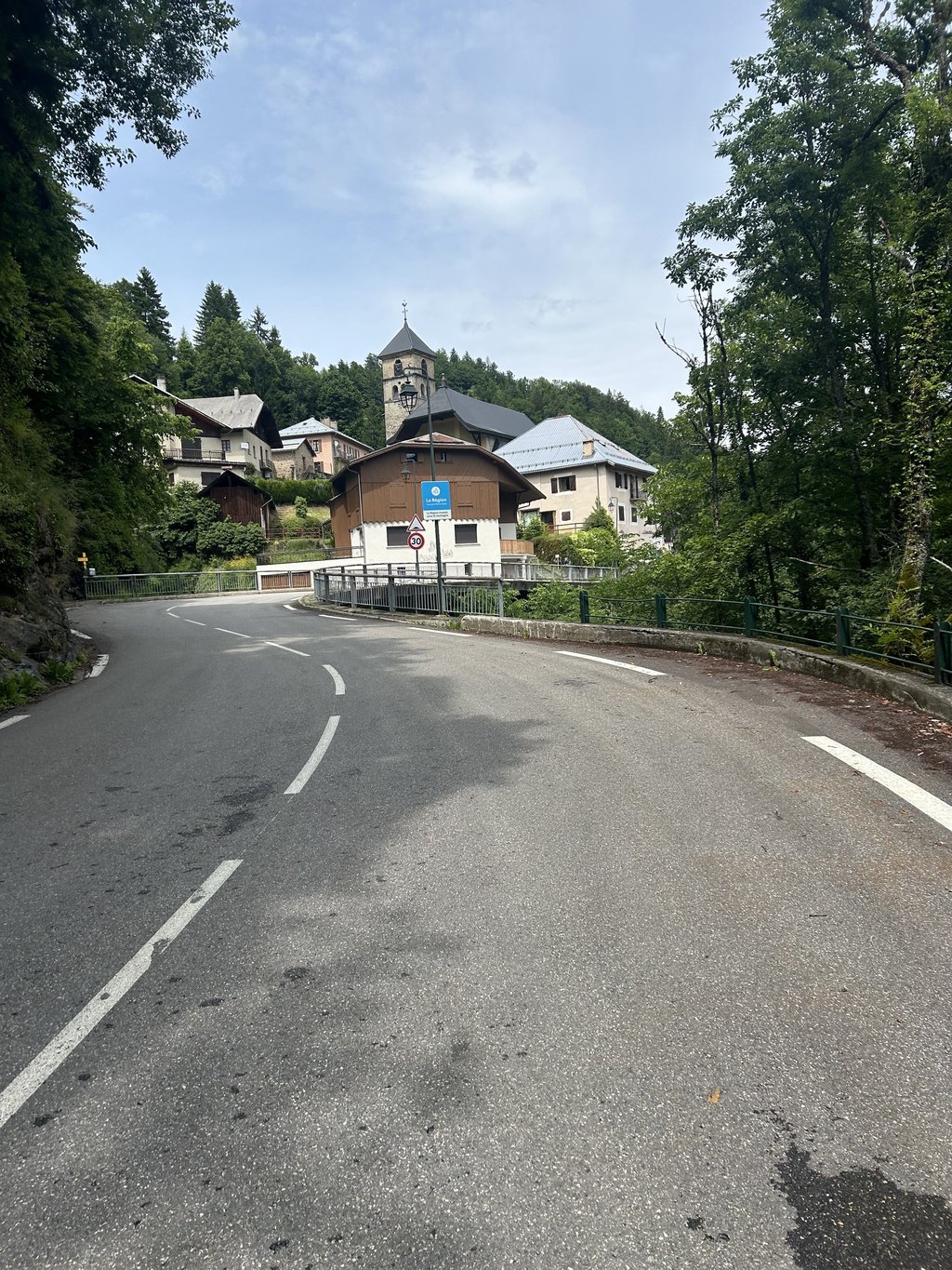
Côte d'Héry sur Ugine from Ugine is a climb in the region Annecy. It is 11.4 km long and bridges 593 m of vertical ascent with an average gradient of 5.2%, resulting in a difficulty score of 342. The top of the ascent is located at 1001 m above sea level. Climbfinder users shared 1 review/story of this climb and uploaded 1 photo.
Road names: Rue Saint-Clair, Avenue Jules Bianco, Chemin des Acacias, Avenue André Pringolliet, Rue Léon Ecoffet, Rue du 11 Novembre & Route d'Héry
2.0 by hardloper_marcoThis is an automatic translation, the original language is: Dutch.Did the first bit today (steep but beautiful and doable) and the last bit. Didn't stop for the waterfall in Héry, but did see it. Nice on the outskirts of the village. Good road!... read more
Welcome! Please activate your account if you would like to share something. Look for the verification email in your inbox.
If you want to upload your photos, you need to create an account. It only takes 1 minute and it's completely free.
Did the first bit today (steep but beautiful and doable) and the last bit. Didn't stop for the waterfall in Héry, but did see it. Nice on the outskirts of the village. Good road!
Vandaag het eerste stukje (steil maar mooi en goed te doen) en het laatste stukje gedaan. Niet gestopt voor de waterval in Héry, maar wel gezien. Leuk aan de rand van het dorp. Goede weg!
| 7 km/h | 01:37:49 |
| 11 km/h | 01:02:15 |
| 15 km/h | 00:45:39 |
| 19 km/h | 00:36:02 |
This page is better in the app