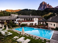
| Beautiful scenery |
| 2 hairpin turns |
| #37 toughest climb of Trentino-South Tyrol |
| #81 most elevation gain of Trentino-South Tyrol |
| #77 longest climb of Bolzano |
| #81 average steepest climb of Bolzano |
Reiterjoch / Passo Pampeago from Birchabruck is a climb in the region Bolzano. It is 11.5 km long and bridges 1113 m of vertical ascent with an average gradient of 9.7%, resulting in a difficulty score of 1230. The top of the ascent is located at 1996 m above sea level. Climbfinder users shared 1 review/story of this climb and uploaded 3 photos.
Road names: SS620 & LS/SP76
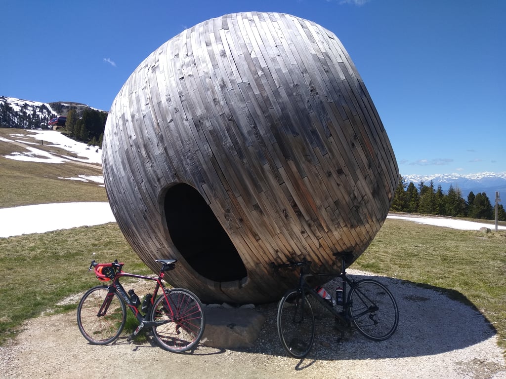
4.0 by XaviElSchwalboThis is an automatic translation, the original language is: German.Steep ascent first on a moderately busy road, then on a path with acceptable asphalt, all quite quiet, mostly through forest, partly with views of the Latemar. The photos I uploaded are from Komoot.... read more
Welcome! Please activate your account if you would like to share something. Look for the verification email in your inbox.
If you want to upload your photos, you need to create an account. It only takes 1 minute and it's completely free.
Steep ascent first on a moderately busy road, then on a path with acceptable asphalt, all quite quiet, mostly through forest, partly with views of the Latemar.
The photos I uploaded are from Komoot.
Steiler Anstieg zunächst auf einer mäßig befahrenen Straße, anschließend auf einem Weg mit akzeptablem Aspahlt, Alles recht ruhig, meistens durch Wald, teilweise mit Aussichten auf den Latemar.
Die von mir hochgeladen Fotos sind von Komoot.
| 7 km/h | 01:38:39 |
| 11 km/h | 01:02:46 |
| 15 km/h | 00:46:02 |
| 19 km/h | 00:36:20 |
This page is better in the app