Tips nearby


| Beautiful scenery |
| Hidden gem |
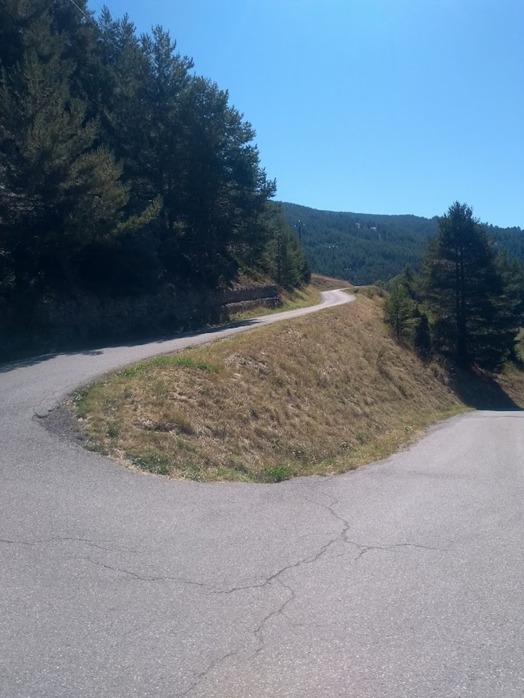
| 4 hairpin turns |
| #54 toughest climb of Briançon |
| #64 most elevation gain of Briançon |
| #75 longest climb of Briançon |
| #49 average steepest climb of Provence-Alpes-Côte d'Azur |
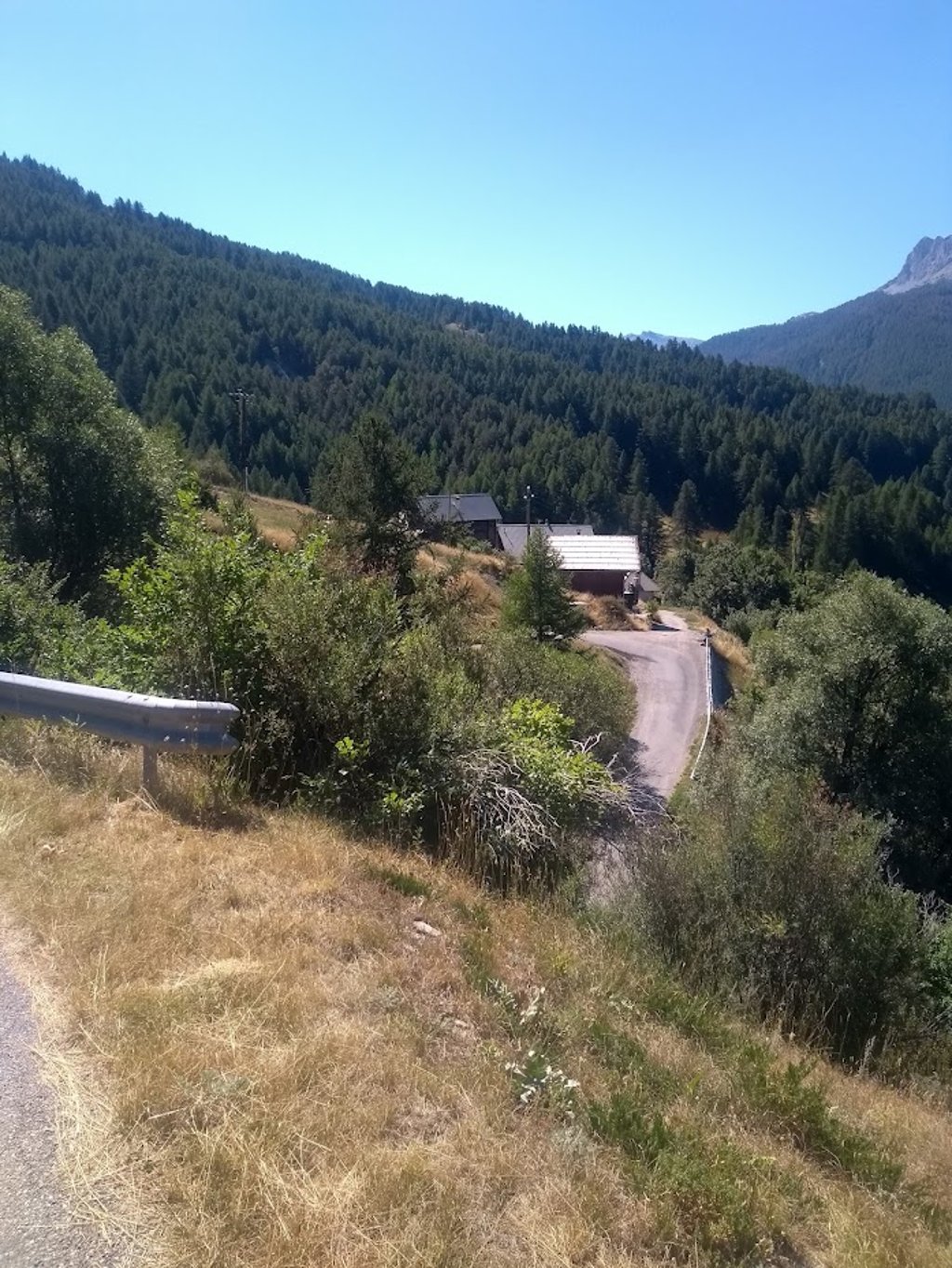
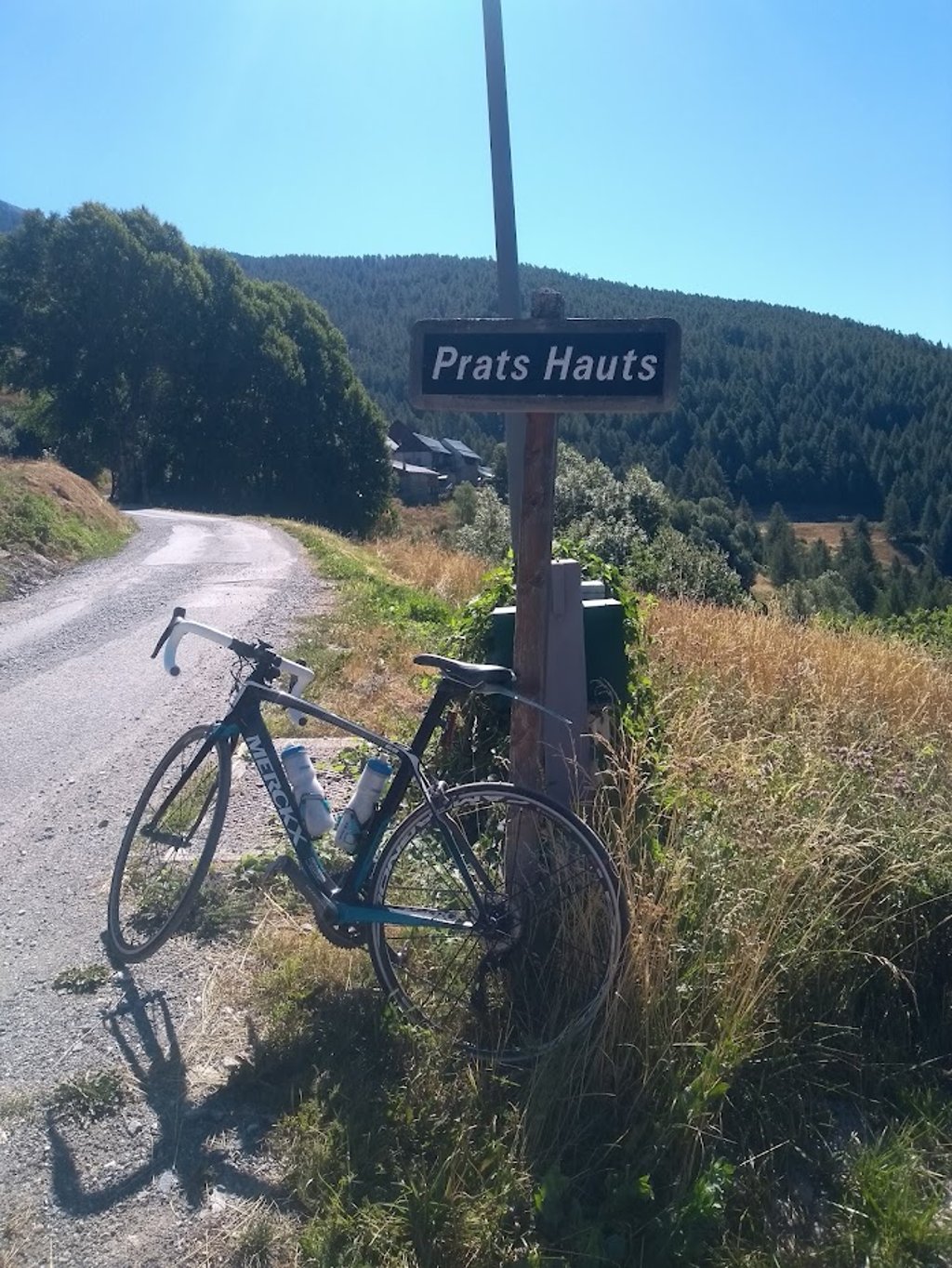
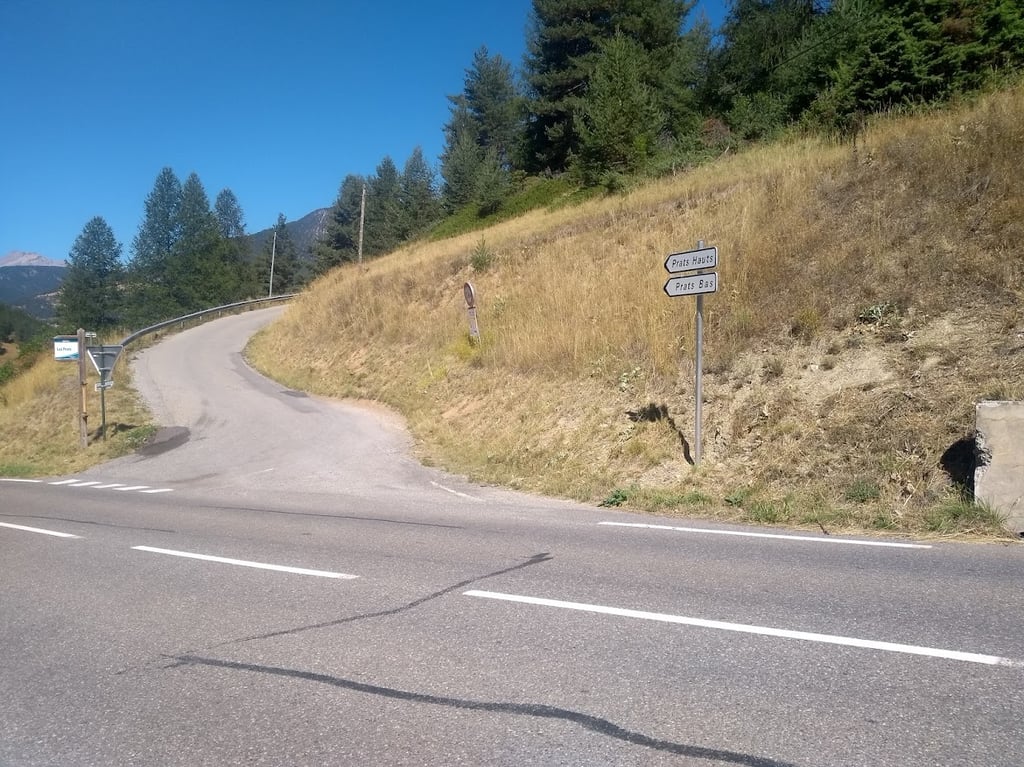
Prats Hauts is a climb in the region Briançon. It is 2.4 km long and bridges 230 m of vertical ascent with an average gradient of 9.8%, resulting in a difficulty score of 244. The top of the ascent is located at 1774 m above sea level. Climbfinder users shared 3 reviews of this climb and uploaded 5 photos.
3.0 by patrickbaertThis is an automatic translation, the original language is: Dutch.Dead-end side road climb, starting in the lower region of the Col Agnel route, picked up. Short steep uphill with 4 hairpin bends onto the open valley flank with great views. Asphalt road stop at the water source in highest village. There is no traffic and the road surface is rough with lots of gravel. Catch it to make the Col Agnel even harder or if on your return your tank is not empty yet! ... read more
Welcome! Please activate your account if you would like to share something. Look for the verification email in your inbox.
If you want to upload your photos, you need to create an account. It only takes 1 minute and it's completely free.
Dead-end side road climb, starting in the lower region of the Col Agnel route, picked up.
Short steep uphill with 4 hairpin bends onto the open valley flank with great views.
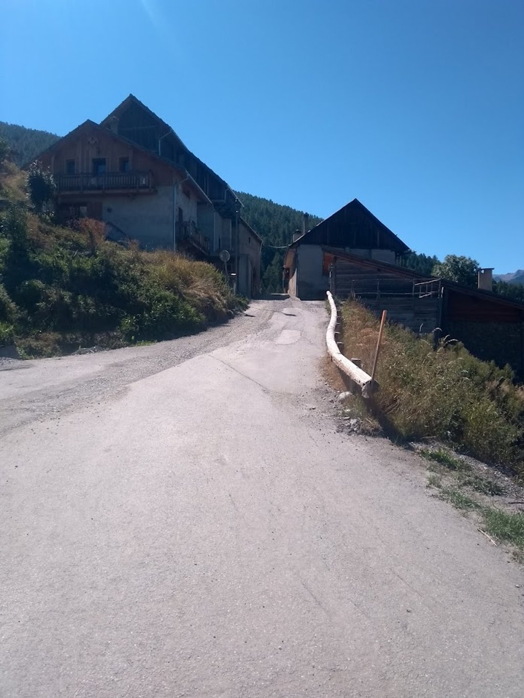
Asphalt road stop at the water source in highest village.
There is no traffic and the road surface is rough with lots of gravel.
Catch it to make the Col Agnel even harder or if on your return your tank is not empty yet!
Doodlopend zijweg klimmetje, startend in de onderste regio van de Col Agnel route, meegepikt.
Kort stevig steil omhoog met 4 haarspeldbochten de open valleiflank op met prachtig uitzicht.
Asfaltweg stop aan de waterbron in hoogste dorpje.
Er is geen verkeer en het wegdek is ruw met veel grind.
Meepikken om de Col Agnel nog moeilijker te maken of als bij terugkomst de tank nog niet leeg is!
Coming back from Col Agnel, you can add this one. Short but powerful.
Als je terug komt van Col Agnel kan je deze nog even erbij doen. Kort maar krachtig.
A small road that climbs up next to the col Agnel, you can take this road to make the Agnel just a little bit more difficult. Highly recommended through beautiful and peaceful countryside. But steep, very steep. Be careful in the descent back to the Agnel, there is often sand and the bends are sometimes sharper than you expect.
Een klein weggetje dat omhoog klimt naast de col Agnel, je kunt deze weg prima meenemen om de Agnel net wat moeilijker te maken. Een aanrader door mooi en rustig landschap. Maar wel steil, erg steil. Let op in de afdaling terug naar de Agnel toe, daar ligt vaak zand en de bochten zijn soms net wat scherper dan je verwacht.
| 7 km/h | 00:20:12 |
| 11 km/h | 00:12:51 |
| 15 km/h | 00:09:25 |
| 19 km/h | 00:07:26 |
This page is better in the app