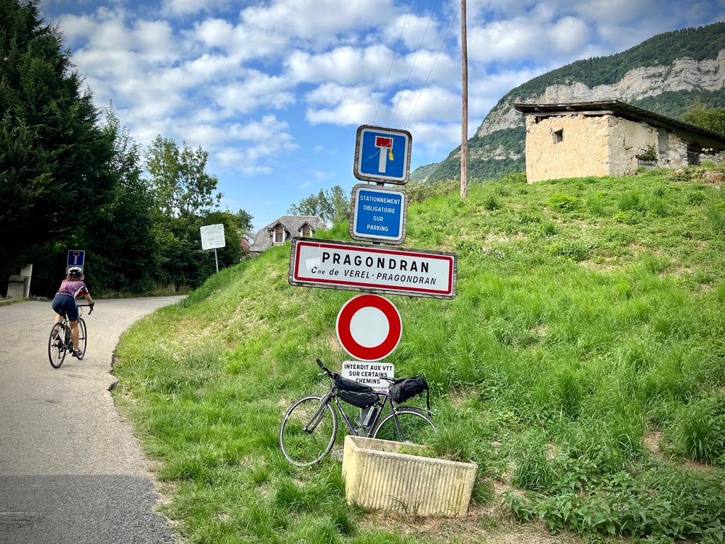
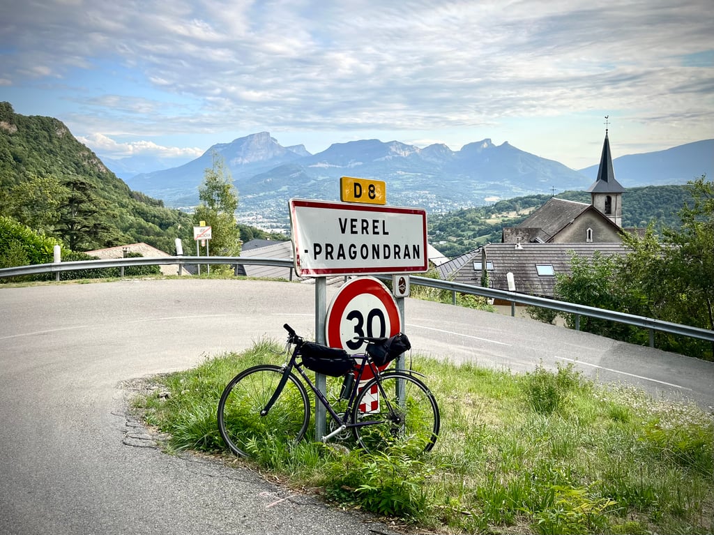
Pragondran from Chambery is a climb in the region Savoie. It is 6.6 km long and bridges 515 m of vertical ascent with an average gradient of 7.8%, resulting in a difficulty score of 450. The top of the ascent is located at 816 m above sea level. Climbfinder users shared 2 reviews of this climb and uploaded 2 photos.
This is an automatic translation, the original language is: French.
The previous comment seems a bit harsh to me. It's a serious climb, reasonably short, but it doesn't forget to climb and it does so with a certain determination!
The scenery isn't breathtaking, but it is pleasant. Surrounded by mountains, you climb with the Croix de Nivolet in your sights. The route is decent and not very busy. I put it on the podium of climbs near Chambéry after the Col de l'Épine and the Col du Granier....read more
Photos (2)
Welcome! Please activate your account if you would like to share something. Look for the verification email in your inbox.
This is an automatic translation, the original language is: French.
Show original
The previous comment seems a bit harsh to me. It's a serious climb, reasonably short, but it doesn't forget to climb and it does so with a certain determination!
The scenery isn't breathtaking, but it is pleasant. Surrounded by mountains, you climb with the Croix de Nivolet in your sights. The route is decent and not very busy. I put it on the podium of climbs near Chambéry after the Col de l'Épine and the Col du Granier.
Le commentaire précédent me semble un peu sévère. C’est une montée sérieuse, raisonnablement courte, mais elle n’oublie pas de grimper et elle fait avec une certaine determination !
Les paysages ne sont pas époustouflants mais ils sont plaisants. Entourés de montagnes, on monte notamment avec la Croix de Nivolet en point de mire. La route est correcte et assez peu fréquentée. Je la place sur le podium des ascensions proches de Chambéry après le Col de l’Épine et le Col du Granier.
This is an automatic translation, the original language is: French.
Show original
A slightly longer climb than the one described because having done it a few years ago I would say 9km instead of the 7 in the profile.
Very easy in the first part and quite steep the last 5 km, on a small road where you have to be careful because there are vehicles going up and down.
The finish is in a dead end on a parking lot for hikers.
I can't say anything about the condition of the road.
To do only if you are in the area because without much interest.
Une ascension un peu plus longue que celle décrite car l'ayant faite il y a quelques années je dirais plutôt 9km au lieu des 7 du profil.
Très facile dans la première partie et assez pentue les 5 derniers km, sur une petite route où il faudra être prudent car il y a des véhicules descendants et montants.
L'arrivée est en cul de sac sur un parking de départ de randos.
Je ne me prononce pas sur l'état de la route.
À faire uniquement si vous êtes dans le coin car sans grand intérêt.
Share your knowledge. What was the road condition during your ascent?
Traffic
100% 0% 0%
Based on 2 votes
Your experience counts. How much traffic did you encounter during the climb?
Frequently Asked Questions
Pragondran from Chambery is a challenging ascent. For this type of climbing, we recommend mountain gearing, specifically a compact system. This means a small front chainring of 34 teeth, combined with a rear cassette where, depending on your level, strength, and experience, you choose a sprocket with 30, 32, or even 34 teeth. Remember that a smooth cadence is always more efficient!
Pragondran from Chambery is a serious climb and falls into the 2nd category. With a good basic fitness level, even without much cycling experience, you can complete this climb just fine. However, a bike with climbing gears is a must. Without experience or training, it will be really tough – but that’s part of the challenge!
Pragondran from Chambery is 6.6 km long.
The average gradient of Pragondran from Chambery is 7.8%.
Pragondran from Chambery has a steepest segment with an average gradient of 15.1%.
The summit of Pragondran from Chambery is at 816 m.
At a slow pace of 7 km/h, it takes about 00:56:49 to climb Pragondran from Chambery. At 11 km/h the time is 00:36:09, and at 15 km/h 00:26:31. For the fastest cyclists, 00:20:56 is an achievable time.
Pragondran from Chambery is located in the region Savoie in France.