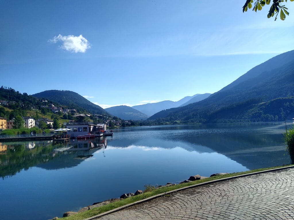
| Beautiful scenery |
| 14 hairpin turns |
| #89 toughest climb of Trento |
| #69 most elevation gain of Trento |
| #49 longest climb of Trentino-South Tyrol |
Passo del Redebus from Madrano is a climb in the region Trento. It is 17.9 km long and bridges 934 m of vertical ascent with an average gradient of 5.2%, resulting in a difficulty score of 741. The top of the ascent is located at 1457 m above sea level. Climbfinder users shared 1 review/story of this climb and uploaded 3 photos.
Road names: SP83 & SP224
3.0 by ebaldoThis is an automatic translation, the original language is: Italian.I didn't actually do it all from Baselga...I started from Bedollo (loc Centrale) because I was coming down from the valley having done the Manghen. The piece then that I enjoyed was the steepest about 4.5km at 7-8%. I did it in the summer (26/6) in full sun and early afternoon with about 27-28°. The shade is a mirage in the sense that there isn't any: there is, however, a good deal of it coming up on the other side. Before reaching Regnana about 3.5km from the summit there is a ceme... read more
Welcome! Please activate your account if you would like to share something. Look for the verification email in your inbox.
If you want to upload your photos, you need to create an account. It only takes 1 minute and it's completely free.
I didn't actually do it all from Baselga...I started from Bedollo (loc Centrale) because I was coming down from the valley having done the Manghen. The piece then that I enjoyed was the steepest about 4.5km at 7-8%. I did it in the summer (26/6) in full sun and early afternoon with about 27-28°. The shade is a mirage in the sense that there isn't any: there is, however, a good deal of it coming up on the other side. Before reaching Regnana about 3.5km from the summit there is a cemetery on the right with a fountain.
In realtà non ho fatto tutto da Baselga...sono partito da Bedollo (loc Centrale) perchè scendevo dalla valle avendo fatto il Manghen. Il pezzo quindi che ho apprezzato è il più ripido circa 4,5km al 7-8%. L'ho fatto in estate (26/6) in pieno sole e nel primo pomeriggio con circa 27-28°. L'ombra è un miraggio nel senso che non c'è: ne esiste invece un bel pezzo venendo su dall'altra parte. Prima di arrivare a Regnana a circa 3,5km dalla vetta c'è un cimitero sulla dx con fontana.
| 7 km/h | 02:33:29 |
| 11 km/h | 01:37:40 |
| 15 km/h | 01:11:37 |
| 19 km/h | 00:56:32 |
This page is better in the app