Passo del Redebus from Canezza is a climb in the region Trento. It is 15.3 km long and bridges 953 m of vertical ascent with an average gradient of 6.2%, resulting in a difficulty score of 773. The top of the ascent is located at 1467 m above sea level. Climbfinder users shared 1 review/story of this climb and uploaded 1 photo.
Road name: Strada del Redebus
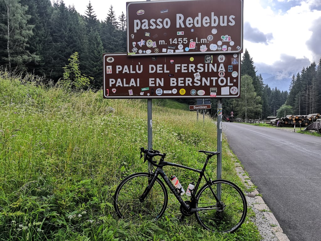
4.0 by DeadnatureThis is an automatic translation, the original language is: Italian.This is, in fact, the ascent of the Val dei Mocheni on its left side, passing through the villages of Frassilongo and San Felice. Compared to the right-hand side, this climb has the advantage of being more shady and less busy. The slopes are challenging, but never impossible. When you reach Palù del Fersina, you reconnect with the other road to tackle the final ramps of the Redebus.... read more
Welcome! Please activate your account if you would like to share something. Look for the verification email in your inbox.
If you want to upload your photos, you need to create an account. It only takes 1 minute and it's completely free.
This is, in fact, the ascent of the Val dei Mocheni on its left side, passing through the villages of Frassilongo and San Felice. Compared to the right-hand side, this climb has the advantage of being more shady and less busy. The slopes are challenging, but never impossible.
When you reach Palù del Fersina, you reconnect with the other road to tackle the final ramps of the Redebus.
Si tratta, di fatto, dell'ascesa della Val dei Mocheni sul suo versante sinistro, passando per gli abitati di Frassilongo e San Felice. Rispetto al versante destro, questa salita ha il vantaggio di essere maggiormente ombreggiata e meno trafficata. Le pendenze sono impegnative, ma mai impossibili.
Arrivati a Palù del Fersina, ci si ricollega con l'altra strada per affrontare le ultime rampe del Redebus.
| 7 km/h | 02:11:13 |
| 11 km/h | 01:23:30 |
| 15 km/h | 01:01:14 |
| 19 km/h | 00:48:20 |
This page is better in the app