Tips nearby


| 12 hairpin turns |
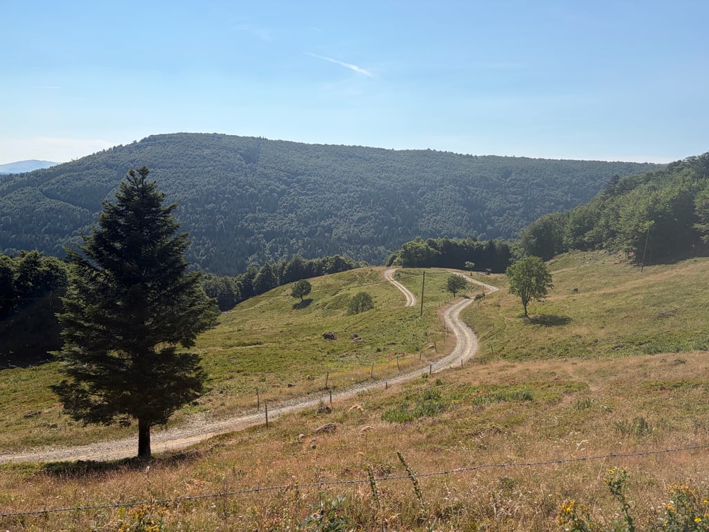
| Gravel |
| Bad road |
| #7 toughest climb of Grand Est |
| #25 most elevation gain of Grand Est |
| #95 longest climb of Grand Est |
| #57 average steepest climb of Upper Rhine |
Neurod from Mittlach is a climb in the region Upper Rhine. It is 9.5 km long and bridges 691 m of vertical ascent with an average gradient of 7.3%, resulting in a difficulty score of 695. The top of the ascent is located at 1222 m above sea level. Climbfinder users shared 1 review/story of this climb and uploaded 1 photo.
Road names: Rue Erbersch, Rue de Mittlach, Chemin du Kolben & Chemin du Steinwasen
5.0 by lukadThis is an automatic translation, the original language is: Dutch.This is a really challenging climb, with steep gradients and very loose, large stones. For much of the way, you’re riding through lovely woodland and it leads straight onto the Route des Crêtes. If you’re in the area on your gravel or mountain bike, you really must give this a go!... read more
Welcome! Please activate your account if you would like to share something. Look for the verification email in your inbox.
If you want to upload your photos, you need to create an account. It only takes 1 minute and it's completely free.
This is a really challenging climb, with steep gradients and very loose, large stones. For much of the way, you’re riding through lovely woodland and it leads straight onto the Route des Crêtes. If you’re in the area on your gravel or mountain bike, you really must give this a go!
Dit is een heel uitdagende klim, hoge percentages, hele losse en grote stenen. Voor een groot deel zit je mooi in het bosen je komt perfect uit bij de route des cretes. Ben je in de buurt met je gravel of mountainbike moet je hier zeker paseren!
| 7 km/h | 01:21:00 |
| 11 km/h | 00:51:33 |
| 15 km/h | 00:37:48 |
| 19 km/h | 00:29:50 |
This page is better in the app