Tips nearby


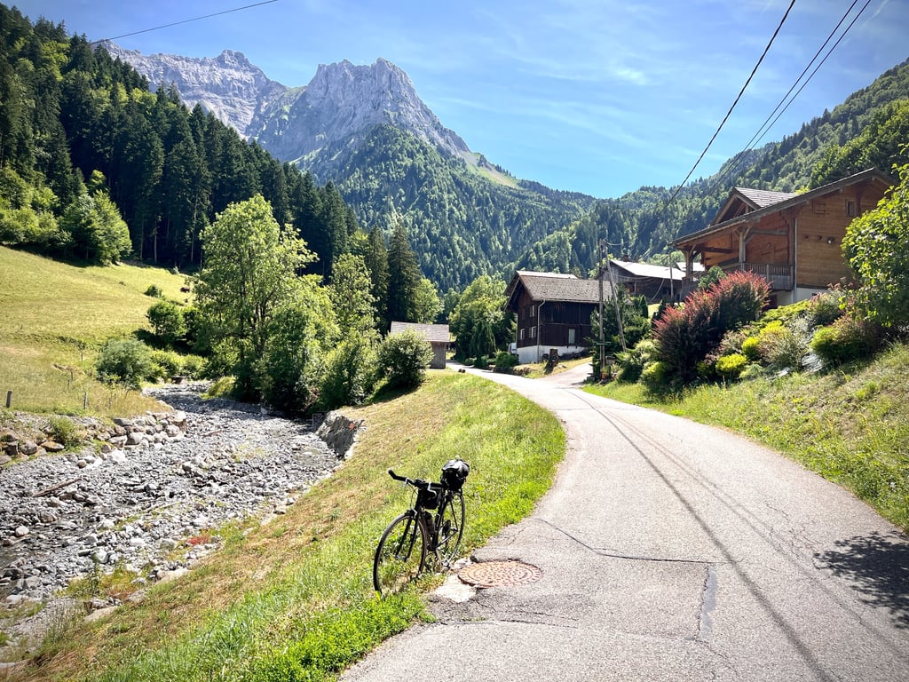
Montremont from Thones is a climb in the region Annecy. It is 4.7 km long and bridges 213 m of vertical ascent with an average gradient of 4.5%, resulting in a difficulty score of 113. The top of the ascent is located at 828 m above sea level. Climbfinder users shared 4 reviews of this climb and uploaded 14 photos.
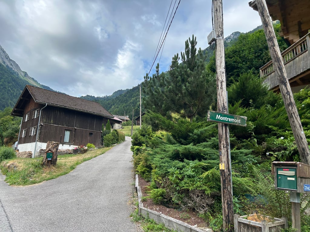
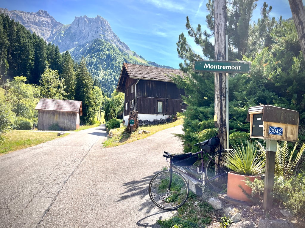
Road names: Route de Tronchine & Route de Montremont
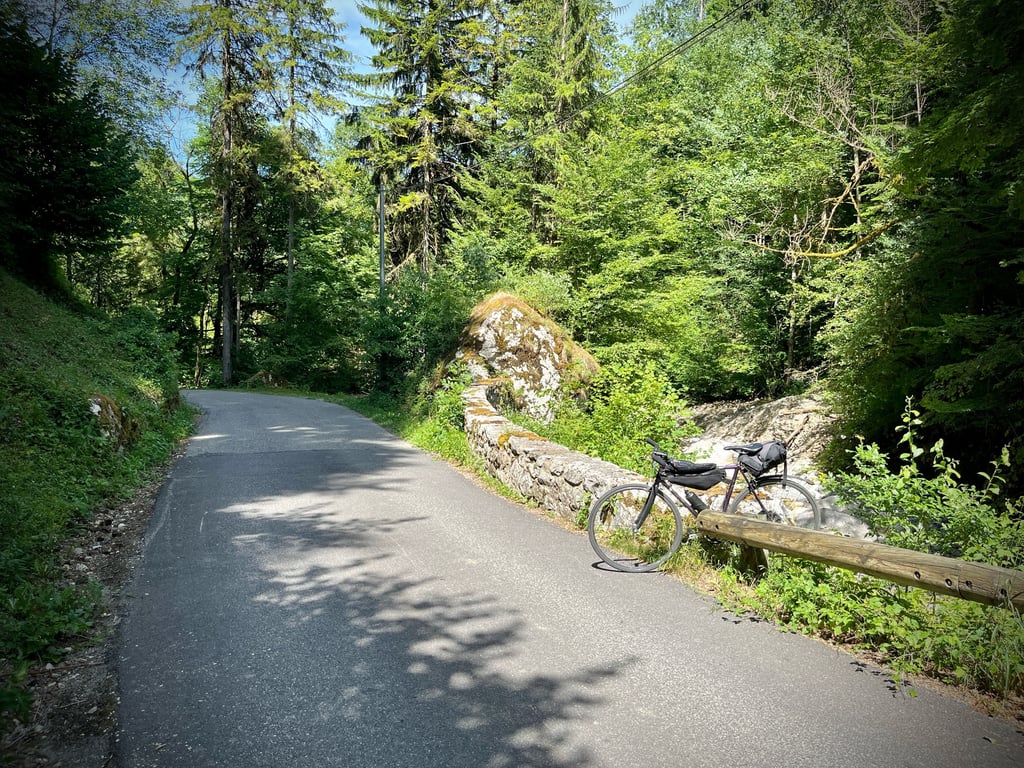
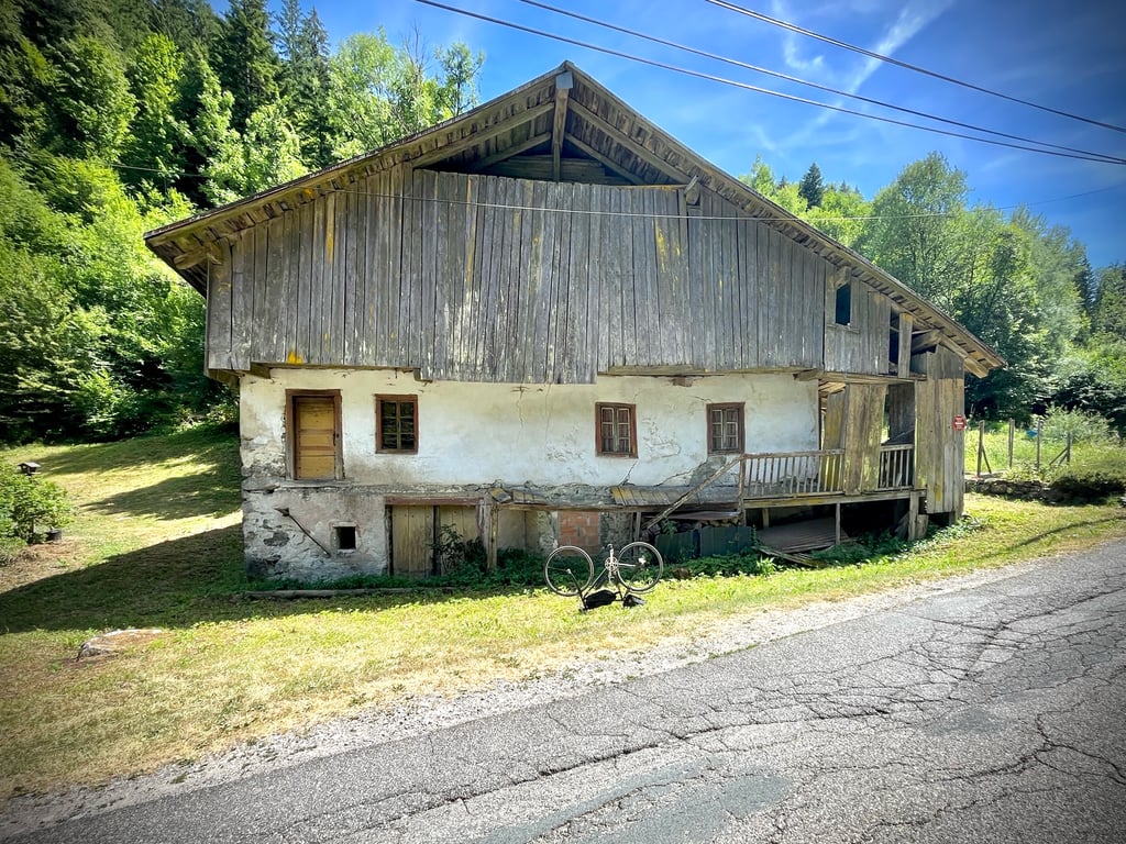
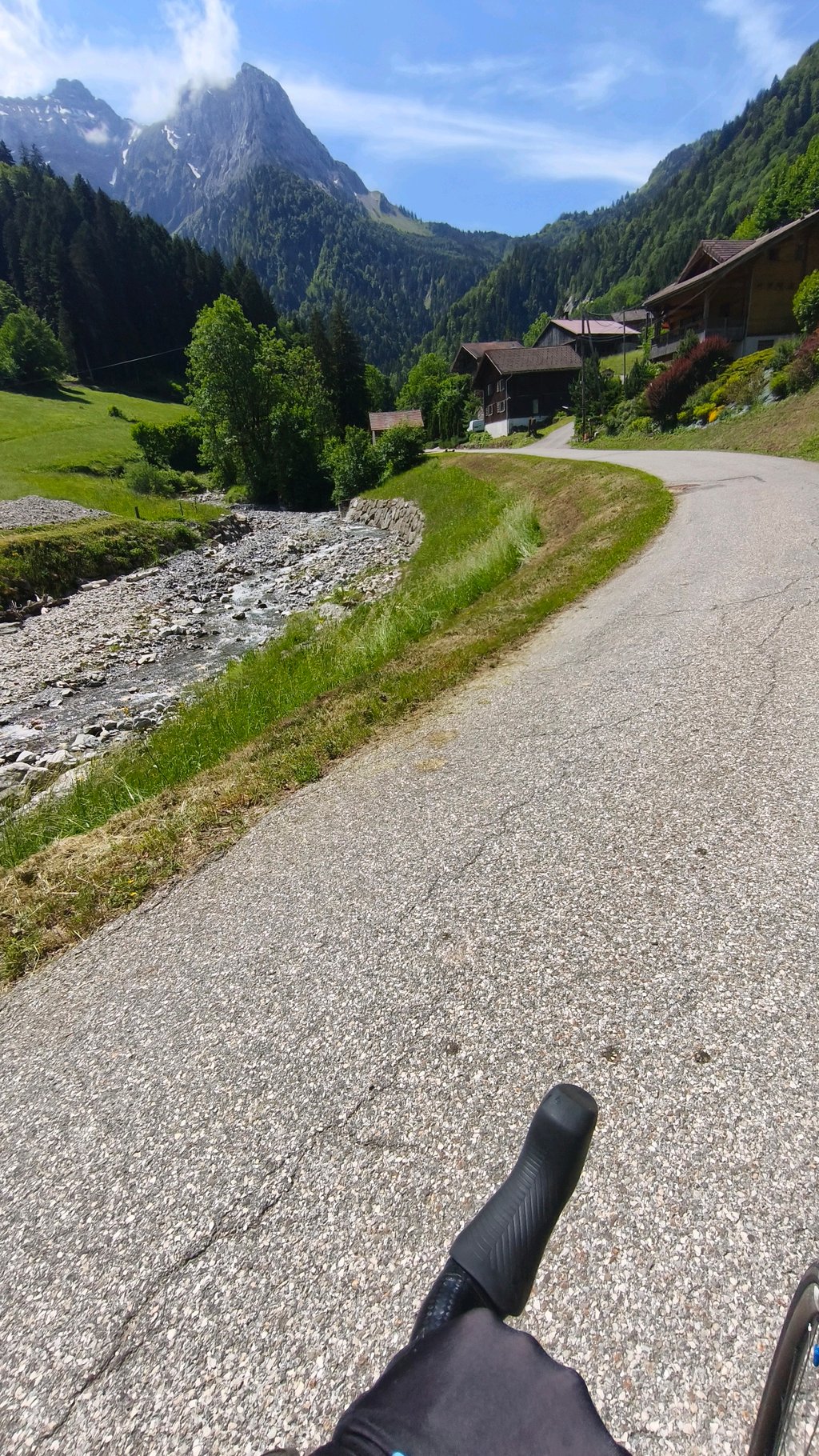
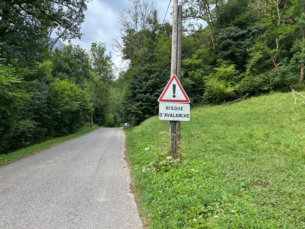
2.0 by CromagnonThis is an automatic translation, the original language is: French.A long, seemingly flat stretch that gradually starts to climb over the last kilometre. Lots of abandoned farms. The little road runs alongside a stream that lulls us along. Nothing particularly exciting. But it’s a pleasant little ride.... read more

Welcome! Please activate your account if you would like to share something. Look for the verification email in your inbox.
If you want to upload your photos, you need to create an account. It only takes 1 minute and it's completely free.
A long, seemingly flat stretch that gradually starts to climb over the last kilometre. Lots of abandoned farms. The little road runs alongside a stream that lulls us along. Nothing particularly exciting. But it’s a pleasant little ride.
Un long faux plat qui se décide à grimper doucement sur le dernier kilomètre. Beaucoup de fermes abandonnées. La petite route longe un ruisseau qui nous berce. Rien de bien excitant. Mais, c’est une petite balade agréable.
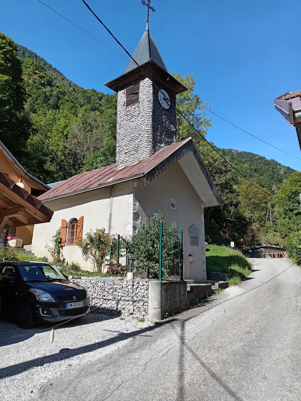
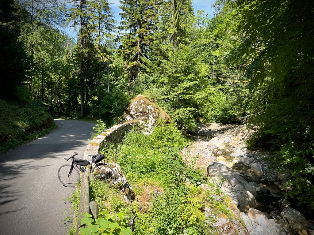
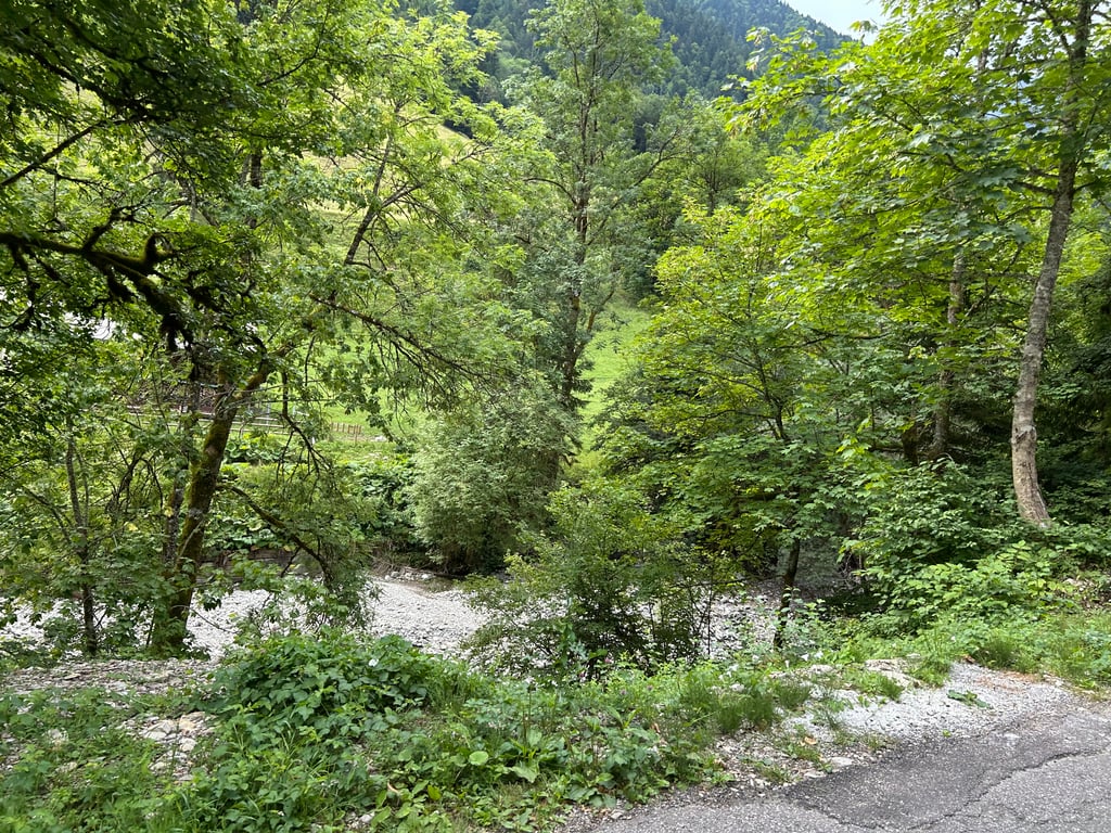
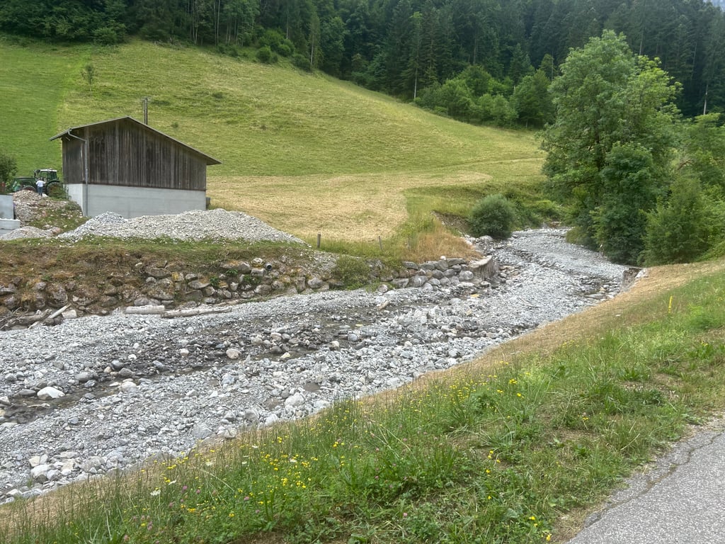
A climb that starts in the heart of Thônes and runs alongside the Malnant torrent ( prone to devastating floods )
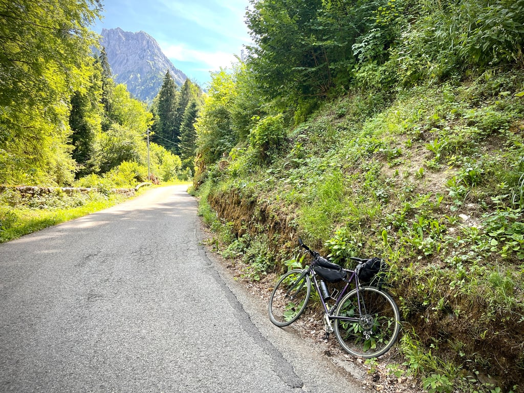
4.7km almost in a straight line, very easy for most of it but I found the final slope harder at 9 and 11%.
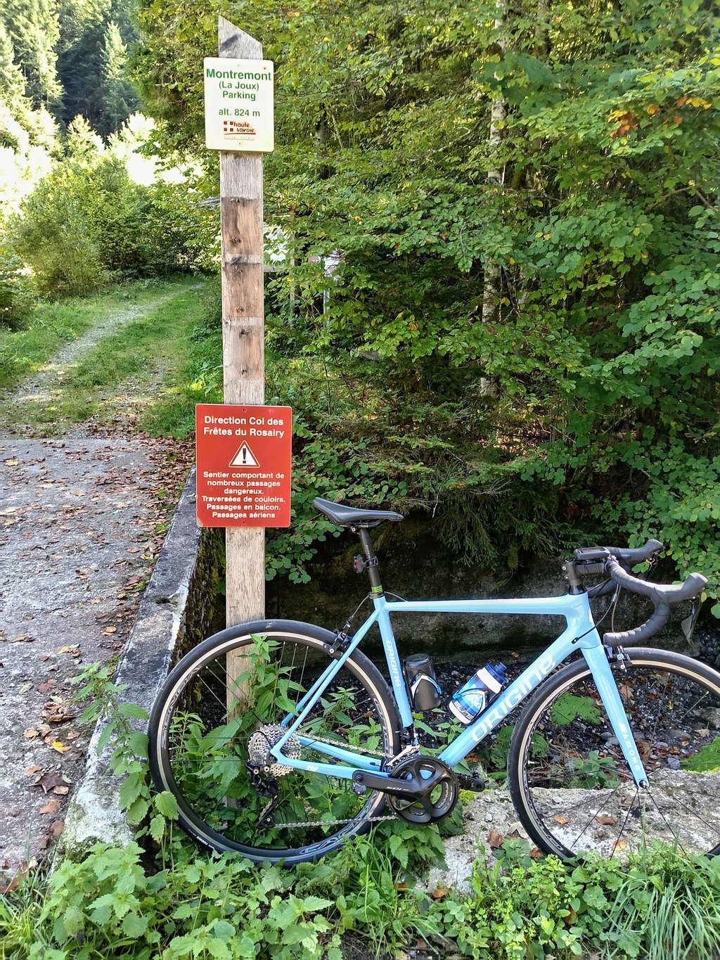
Cul de sac in front of the Randos pédestres start sign.
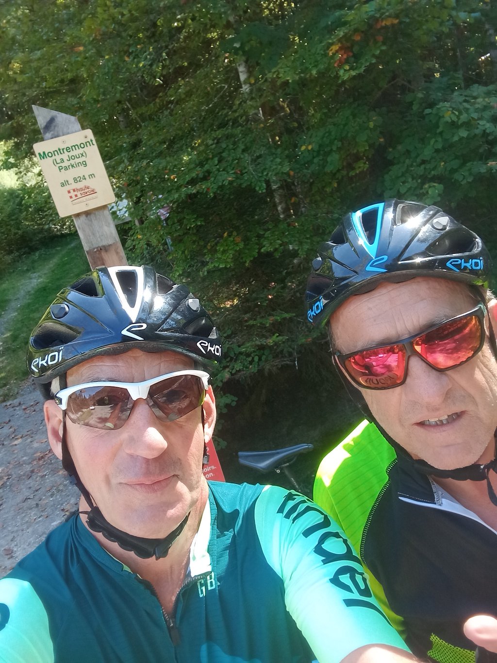
Done in my lovely Climbfinder jersey
Une montée qui démarre au cœur de Thônes et qui longe le torrent du Malnant ( sujet aux crues dévastatrices )
4,7km quasiment en ligne droite, très facile sur presque la totalité mais j'ai trouvé le final plus dur pente à 9 et 11%.
Cul de sac devant le panneau de départ des Randos pédestres.
Fait avec mon beau maillot Climbfinder
The climb is rather long and the average percentage (4.5 %) is correct, but it is misleading, as the gradient is very gradual from the beginning to the end of the climb. The climb is a dead end, doc at the top, no choice but to turn around.
La montée est plutôt longue et le pourcentage moyen (4,5 %) est correct, mais il est trompeur, car la pente est très progressive du début à la fin de la montée. La monté est un cul de sac, doc en haut, pas d'autre choix que de faire demi-tour.
| 7 km/h | 00:40:38 |
| 11 km/h | 00:25:51 |
| 15 km/h | 00:18:58 |
| 19 km/h | 00:14:58 |
This page is better in the app