| 11 hairpin turns |
| #59 average steepest climb of Savoie |
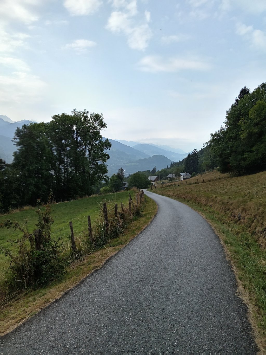
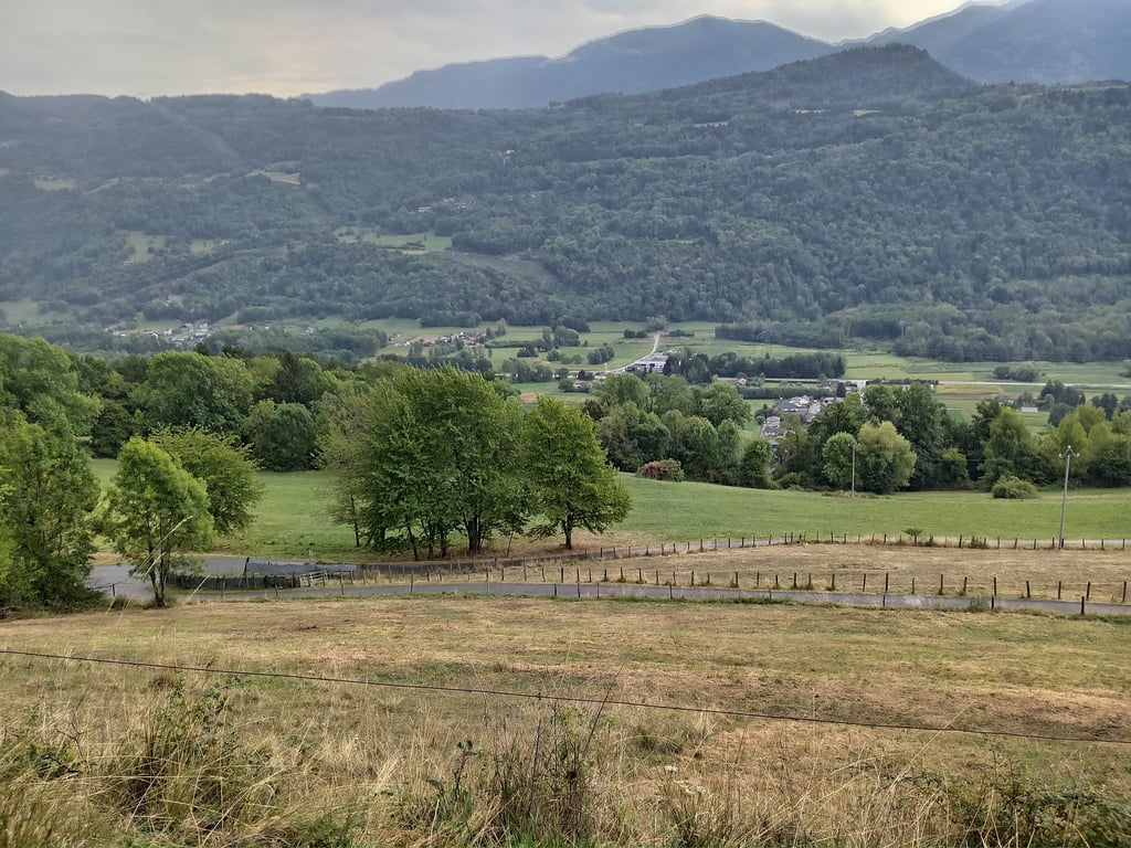
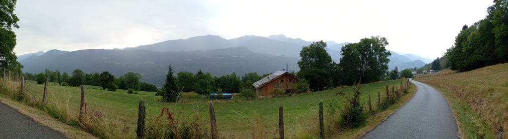
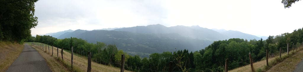
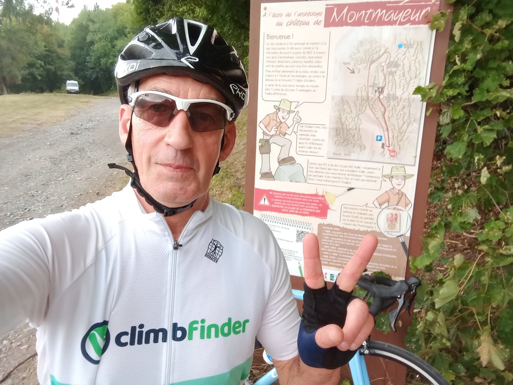
Montmayeur from Villard-Sallet is a climb in the region Savoie. It is 5 km long and bridges 428 m of vertical ascent with an average gradient of 8.5%, resulting in a difficulty score of 372. The top of the ascent is located at 742 m above sea level. Climbfinder users shared 2 reviews of this climb and uploaded 6 photos.
Road names: Rue du Verju & Route des Tours
4.0 by sergenavetatThis is an automatic translation, the original language is: French.I made the ascent on the morning of 19 August 2025, and it's a good thing the heatwave ended, because given the location of this climb, the sun is out in the morning. Many times I've passed by the foot of the mountain without going up there, I've only gone there for Climbfinder and with pleasure. There are 3 possible access routes to the start of the climb, the one described on Climbfinder, one from le Mollaret and one from la Trinité, the latter 2 joining the main road after a... read more
Welcome! Please activate your account if you would like to share something. Look for the verification email in your inbox.
If you want to upload your photos, you need to create an account. It only takes 1 minute and it's completely free.
I made the ascent on the morning of 19 August 2025, and it's a good thing the heatwave ended, because given the location of this climb, the sun is out in the morning.
Many times I've passed by the foot of the mountain without going up there, I've only gone there for Climbfinder and with pleasure.
There are 3 possible access routes to the start of the climb, the one described on Climbfinder, one from le Mollaret and one from la Trinité, the latter 2 joining the main road after about 1km.
The tarmac is relatively good, but the road is very narrow and it's hot to pass a vehicle'I had to put my feet down to let a tractor go up.
There is a bit of traffic, even during the week, as there are a few houses on this road and also some footpaths.
The gradient is rough and steady, often between 9 and 11%, many of the hairpin bends allow a bit of a breather if taken on the outside.
As pointed out in Julien F's first comment, it's hardly possible to get to the foot of the Montmayeur Towers on an ordinary Rte bike even with good tyres as the path is really degraded.
As far as the scenery is concerned, you can see the village of Villard-Sallet below and just before the finish, the Hurtières opposite and the Chaîne de Beldonne to the right.
Ps: If you're on holiday in the area, this is a must-do climb, as it's little-known and rarely climbed.
Ascension effectuée le matin du 19 août 2025 et heureusement que la canicule a pris fin car vu la situation de cette montée , le soleil est présent dès le matin.
De nombreuses fois je suis passé au pied sans monter là haut, j'y suis allé uniquement pour Climbfinder et avec plaisir.
3 accès sont possibles pour le départ de l'ascension, celle décrite sur Climbfinder, l'une depuis le Mollaret et l'une depuis la Trinité, ces 2 dernières rejoignent la Rte principale après 1km environ.
Le bitume est relativement correct , la Rte est très étroite et pour croiser un véhicule c'est chaud, j'ai dû poser pieds à terre pour laisser passer un tracteur qui montait.
Il y a quand même une légère circulation présente même en semaine car il y a quelques habitations sur cette route et aussi des départs de chemins de randonnées pédestres.
La pente est rude et soutenue, souvent entre 9 et 11%, beaucoup de lacets permettent un peu de souffler si ils sont pris à l'extérieur.
Comme signalé dans le premier commentaire de Julien F, il n'est guère possible d'accéder aux pieds des Tours de Montmayeur en vélo de Rte ordinaire même avec de bons pneus car le chemin est vraiment dégradé.
Niveau paysages, on a une vue sur le village de Villard-Sallet en contrebas et juste avant le final sur les Hurtières en face et sur la Chaîne de Beldonne à droite.
Ps : Si vous êtes en vacances dans le coin ascension à faire car méconnue et peu fréquentée.
Short but intensive. Little respite until the top. The road is not wide but the asphalt is of fairly good quality. Little or no traffic.
On the downside, to get to the building (Les tours de Montmayeur), the road becomes a track. Not very suitable for road bikes.
Courte mais intensive. Peu de répits jusqu'en haut. La route n'est pas large mais l'enrobé est plutôt de bonne qualité. Peu ou pas de circulation.
Petit bémol, pour aller jusqu'à l'édifice (Les tours de Montmayeur), la route devient du chemin. Pas commode pour les vélos de route.
| 7 km/h | 00:43:11 |
| 11 km/h | 00:27:29 |
| 15 km/h | 00:20:09 |
| 19 km/h | 00:15:54 |
This page is better in the app