Tips nearby


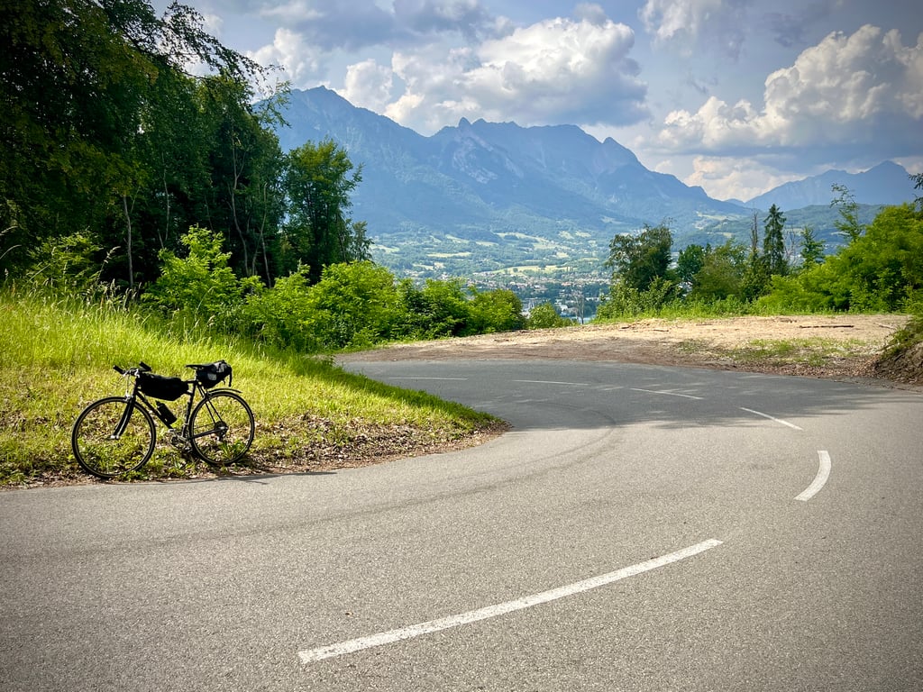
| Beautiful scenery |
| 5 hairpin turns |
| #49 average steepest climb of Savoie |
Monthion from Grignon is a climb in the region Annecy. It is 2 km long and bridges 170 m of vertical ascent with an average gradient of 8.6%, resulting in a difficulty score of 159. The top of the ascent is located at 495 m above sea level. Climbfinder users shared 2 reviews of this climb and uploaded 7 photos.
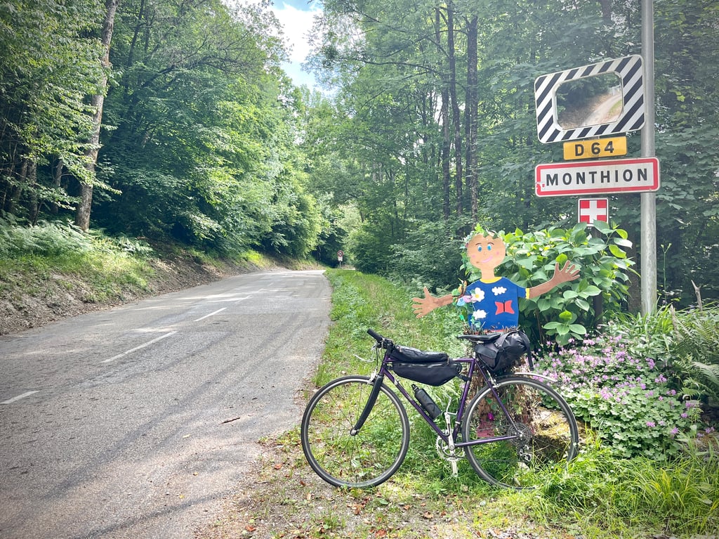
Road names: Route de Monthion & D 64
2.0 by CromagnonThis is an automatic translation, the original language is: French.Serious percentages. But it's too short. A road in good condition, with some nice bends. At the top, there's a fountain that will give you cool water even in the sun.... read more
Welcome! Please activate your account if you would like to share something. Look for the verification email in your inbox.
If you want to upload your photos, you need to create an account. It only takes 1 minute and it's completely free.
Serious percentages.
But it's too short. A road in good condition, with some nice bends. At the top, there's a fountain that will give you cool water even in the sun.
Des pourcentages sérieux. Mais, c’est si court. Une route en très bon état. De jolis virages. En haut, une fontaine qui, même sous le soleil brûlant, vous donnera de l’eau bien fraîche.
I can see the terminus of this climb from my balcony, the church at the top.
Very short, but quite steep as shown on the graph, not very interesting to do only this climb but to associate with PLancevat and Coulins located in the same massif.
Je vois le terminus de cette montée depuis mon balcon, l'Eglise tout là haut.
Le final est sur la place avec la fontaine d'eau potable, juste en face de l'église et de la mairie.
Très courte, mais assez pentue comme sur le graphique, peu intéressant de ne faire que cette ascension mais à associer avec PLancevat et les Coulins situés dans le même massif.
| 7 km/h | 00:16:50 |
| 11 km/h | 00:10:42 |
| 15 km/h | 00:07:51 |
| 19 km/h | 00:06:12 |
This page is better in the app