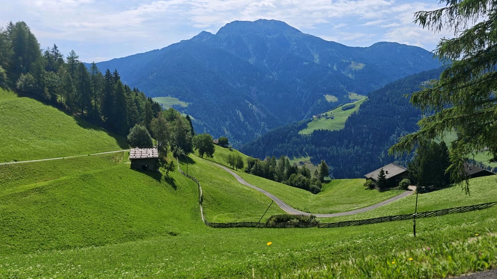
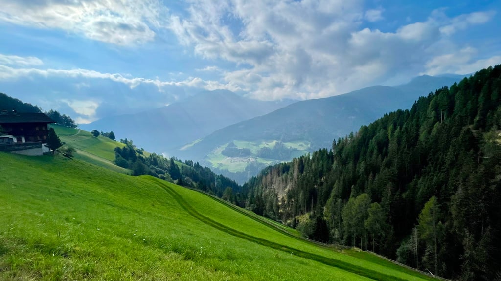
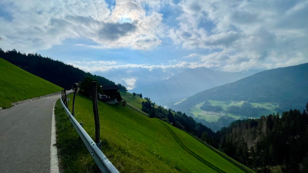
Monte Mariol / Mariolberg from San Pancrazio / Sankt Pankraz is a climb in the region Bolzano. It is 8.4 km long and bridges 727 m of vertical ascent with an average gradient of 8.7%, resulting in a difficulty score of 732. The top of the ascent is located at 1464 m above sea level. Climbfinder users shared 3 reviews of this climb and uploaded 10 photos.
Road names: Kirchbach & Mariolberg - Monte Mariol
4.0 by NiekBenedictThis is an automatic translation, the original language is: Dutch.A challenging, magnificent climb. Long stretches at over 12 per cent, making it tougher than the profile suggests. The summit isn’t marked, but that doesn’t matter.... read more

Welcome! Please activate your account if you would like to share something. Look for the verification email in your inbox.
If you want to upload your photos, you need to create an account. It only takes 1 minute and it's completely free.
A challenging, magnificent climb. Long stretches at over 12 per cent, making it tougher than the profile suggests. The summit isn’t marked, but that doesn’t matter.
Pittige, prachtige klim. Lange stukken boven de 12%, daarmee straffer dan het profiel doet vermoeden. De top is niet aangegeven, maar dat deert niet.
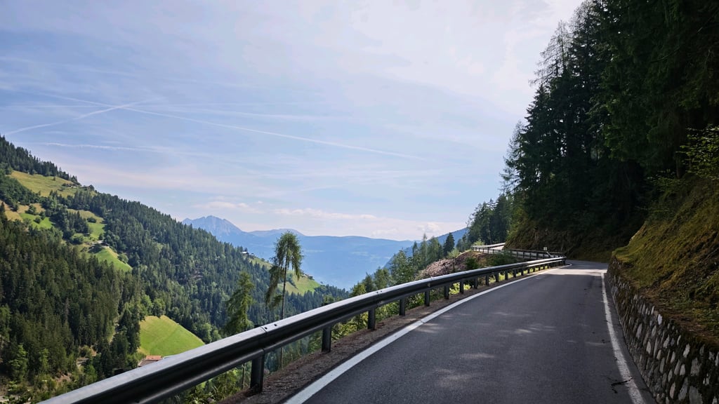
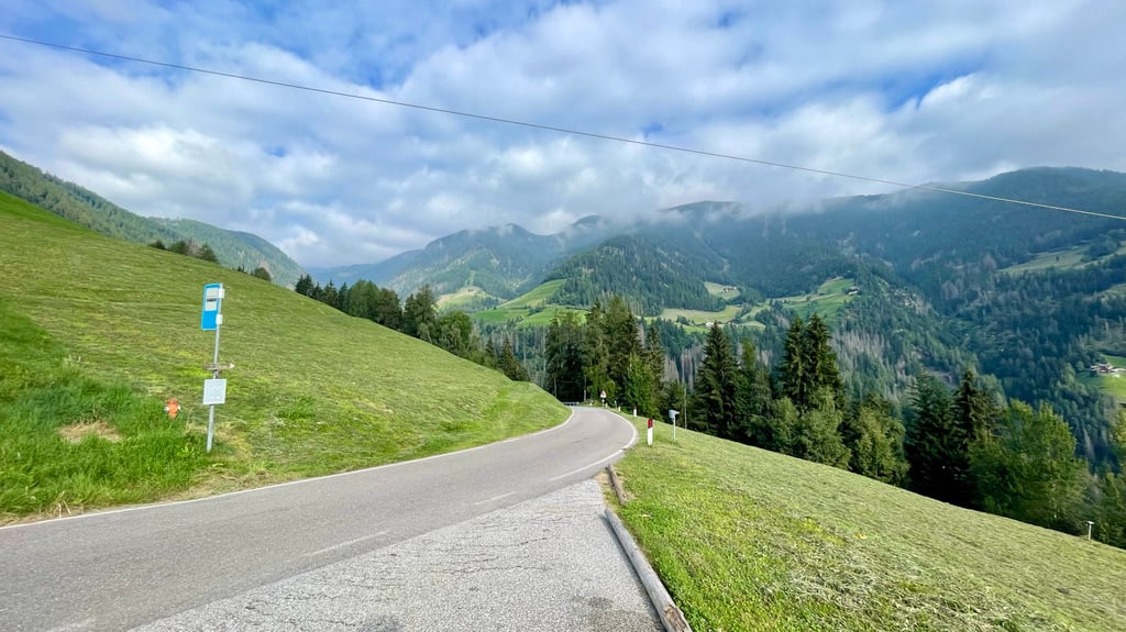
Tough, not to be underestimated climb. Very quiet and narrow roads. Percentages are spicy at the beginning and at the end. Nice descent afterwards follows.
Stevige, niet te onderschatten beklimming. Hele rustige en smalle wegen. De percentages zijn in het begin en op het einde pittig. Mooie afdaling erna volgt.
Descended this climb after cycling up Mariolberg along other shorter side, as partial alternative side route for long Ultendal descent.
Firm downhill with +10% lanes on narrow road with no traffic through uninhabited forest with some hairpin turns shows that in reverse this is a tough cycling challenge.
Colour of Climbfinder chart proves this.
Deze klim afgedaald na opfietsen Mariolberg langs andere kortere kant, als gedeeltelijke alternatieve zijweg voor lange Ultendal afdaling.
Stevige bergaf met +10% stroken op smalle weg zonder verkeer door onbewoond woud met enkele haarspeldbochten toont aan dat in omgekeerde richting dit een pittige fietsuitdaging is.
Kleur van de Climbfinder grafiek bewijst dit.
| 7 km/h | 01:11:34 |
| 11 km/h | 00:45:33 |
| 15 km/h | 00:33:24 |
| 19 km/h | 00:26:22 |
This page is better in the app