11 Mo 4.0 00:57:34 (10.3 km/h)
This is an automatic translation, the original language is: Italian.
Show original
The Crostis slope that was to be tackled downhill in 2011; judged too dangerous by the runners, it was not run, as was the climb on the other side.
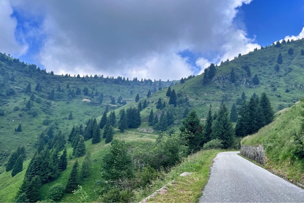
The start of the climb is at the Sella Valcalda pass: it climbs steadily, first to 9%, then in the middle section the gradients become slightly more challenging (above 10%, albeit by a little), to become slightly easier in the last 1500 metres.
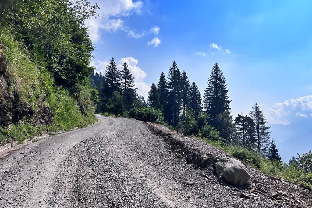
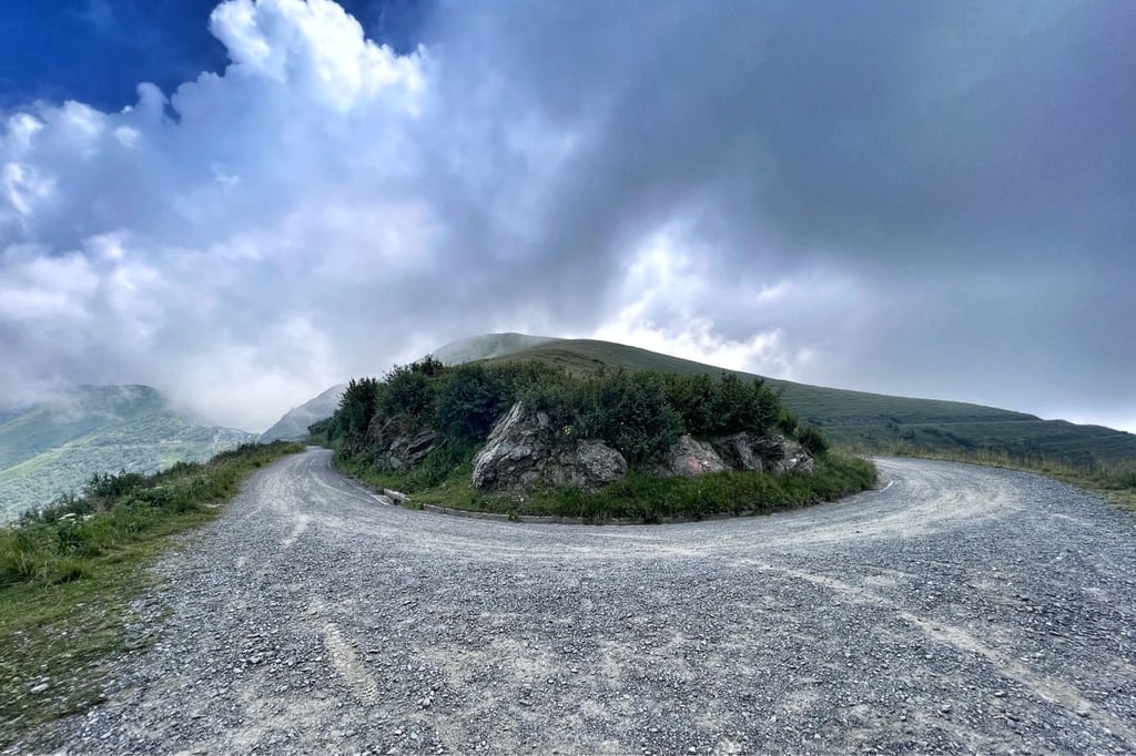
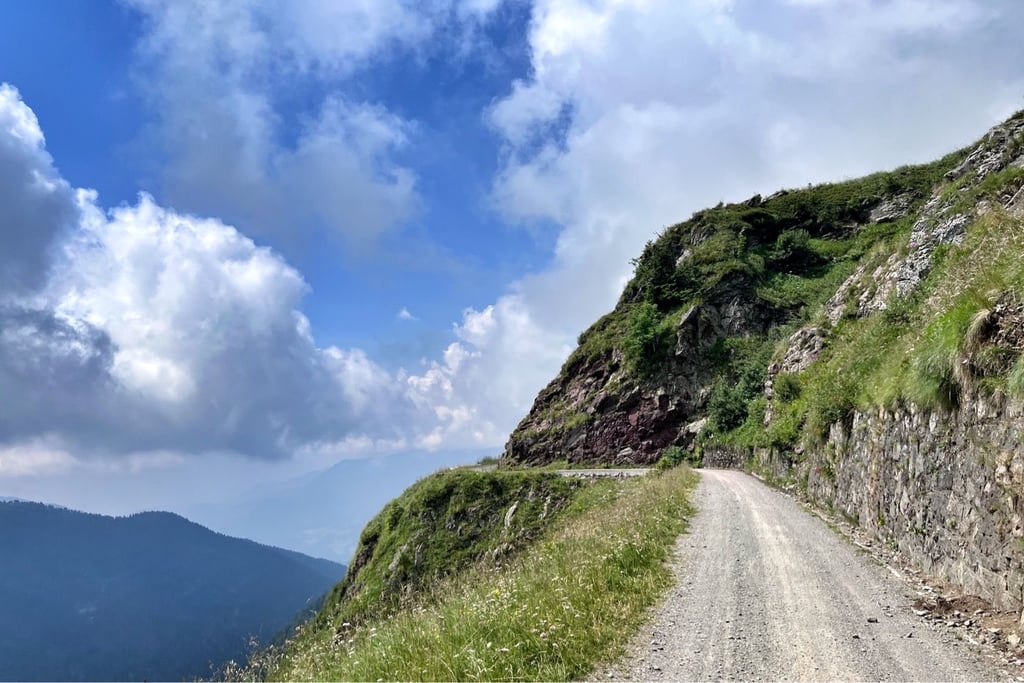
The road climbs narrowly through the woods, mostly in the shade: in August 2025, it is of fairly good quality, except for a couple of short passages (10 metres) of gravel road, where ascending requires a minimum of attention, and descending likewise. Traffic is almost absent, with only a few motorbikes, however rather cautious. When you reach the end of the asphalt road, you can either continue along the dirt track that leads to the Crostis proper, or descend from where you climbed: by road bike, the first option is preferable.
Versante del Crostis che si sarebbe dovuto affrontare in discesa nel 2011; giudicato troppo pericoloso dai corridori, non venne percorso, cosiccome la salita dall'altro versante.
L'attacco della salita è al valico di Sella Valcalda: si sale con regolarità, prima al 9%, poi nel tratto centrale le pendenze si fanno leggermente più impegnative (sopra il 10%, seppur di poco), per diventare leggermente più facili negli ultimi 1500 metri.
La strada sale stretta tra i boschi, in gran parte ombreggiata: ad agosto 2025, è di discreta qualita, eccettuati un paio di brevi passaggi (10 metri) di strada rovinata in ghiaino, dove salendo basta un minimo di attenzione, e scendendo altrettanto. Traffico quasi assente, con solo un po' di moto, comunque piuttosto prudenti. Arrivati alla fine dell'asfalto, si può proseguire sul tratto sterrato che conduce al Crostis vero e proprio, o scendere da dove si è saliti: in bici da corsa, preferibile la prima opzione.