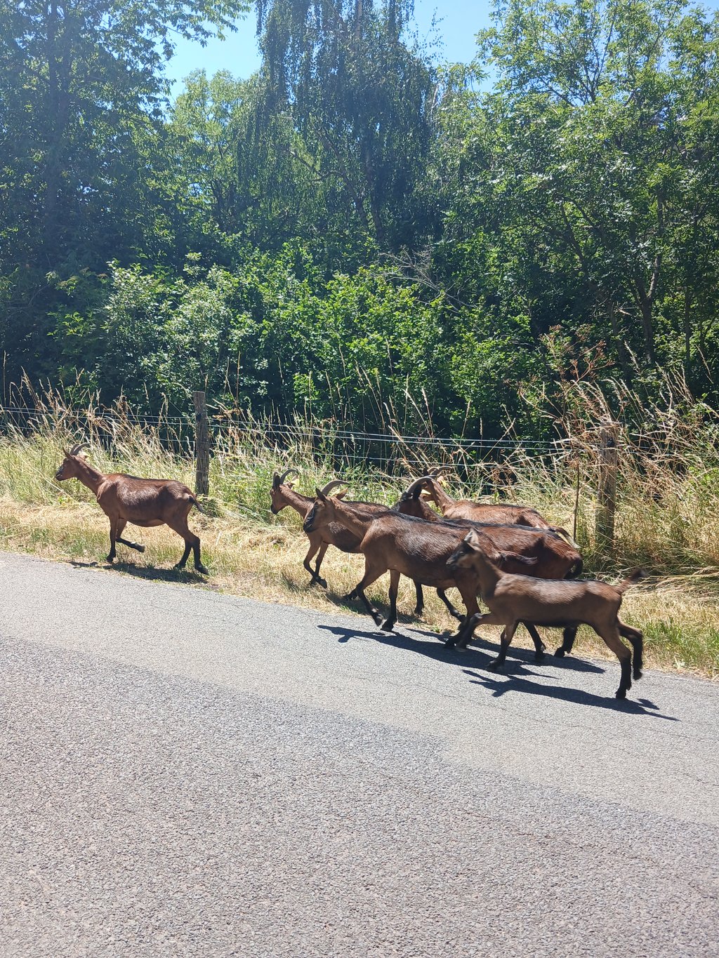
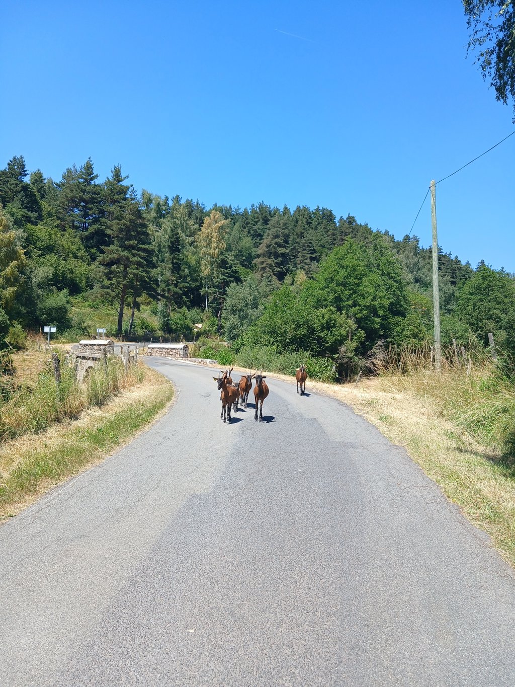
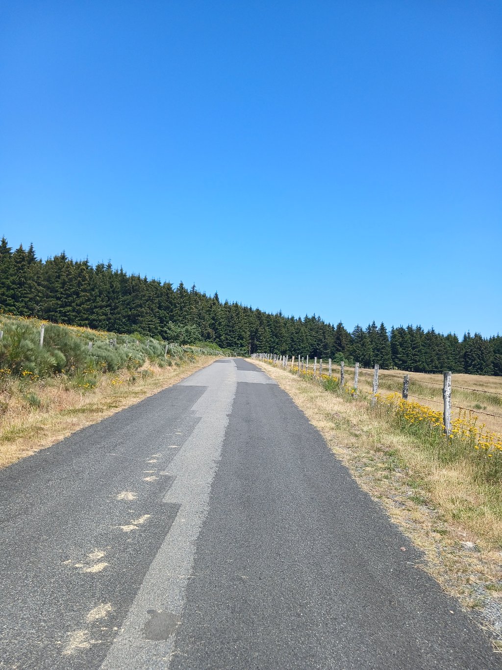
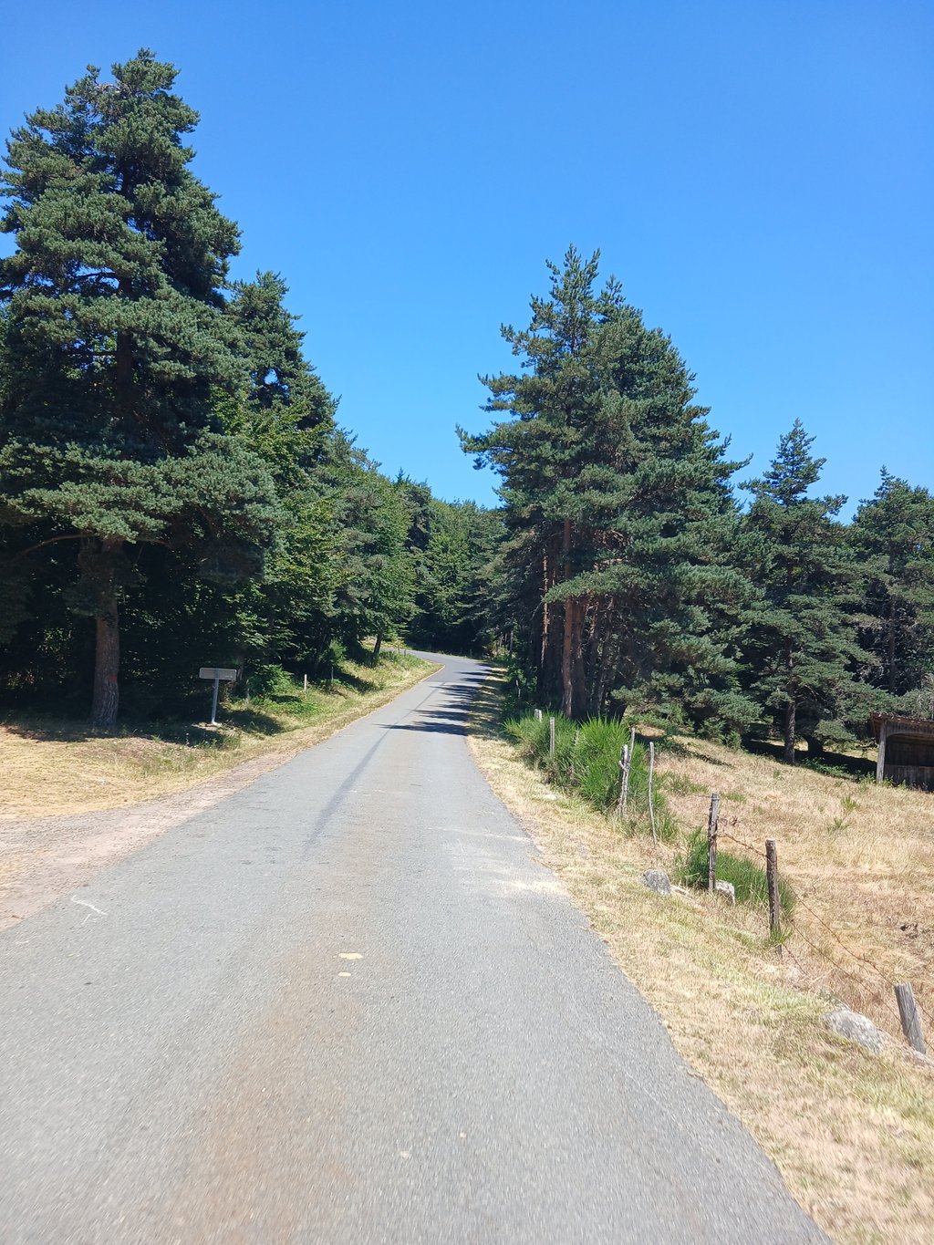
Montagne de Saurel from La Brugerette is a climb in the region Lozère. It is 10.4 km long and bridges 525 m of vertical ascent with an average gradient of 5.1%, resulting in a difficulty score of 333. The top of the ascent is located at 1393 m above sea level. Climbfinder users shared 1 review/story of this climb and uploaded 4 photos.
Road names: D 48, D 48 & Pont du Pas de l'Âne
4.0 by WouterThis is an automatic translation, the original language is: Dutch.A climb that winds its way through a few villages at first. The final few kilometres take you through beautiful Alpine meadows. You reach the top in a wood, where a lovely descent awaits as a reward.... read more
Welcome! Please activate your account if you would like to share something. Look for the verification email in your inbox.
If you want to upload your photos, you need to create an account. It only takes 1 minute and it's completely free.
A climb that winds its way through a few villages at first. The final few kilometres take you through beautiful Alpine meadows. You reach the top in a wood, where a lovely descent awaits as a reward.
Een klim die eerst wat onregelmatig door een paar dorpjes loopt. De laatste kilometers fiets je door mooie Alpenweides. Je komt boven aan in een bos met een leuke afdaling ams beloning.
| 7 km/h | 01:29:06 |
| 11 km/h | 00:56:42 |
| 15 km/h | 00:41:35 |
| 19 km/h | 00:32:49 |
This page is better in the app