Montagne de Bergiès from Reilhanette is a climb in the region Drôme. It is 13.8 km long and bridges 763 m of vertical ascent with an average gradient of 5.5%, resulting in a difficulty score of 487. The top of the ascent is located at 1360 m above sea level. Climbfinder users shared 1 review/story of this climb and uploaded 2 photos.
Road names: Route des Alpes (D 542), D 542 & Chemin de Bergies
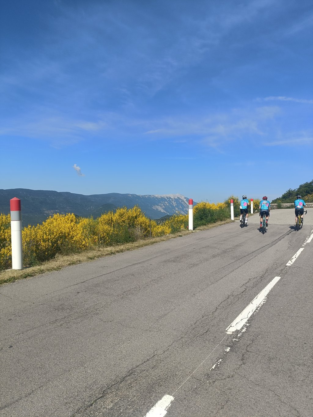
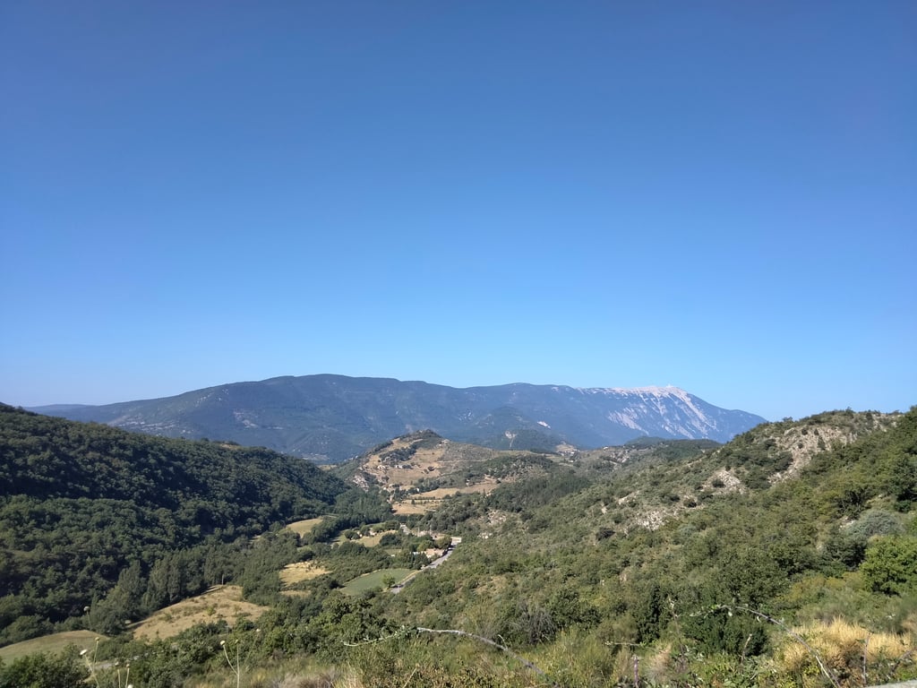
5.0 by MathieuB_69This is an automatic translation, the original language is: French.Done during the GF mont ventoux 2025 and what a magnificent climb with a breathtaking view of mont ventoux. Demanding and long climb with the link-up to the col de l'homme mort, but magnificent.... read more
Welcome! Please activate your account if you would like to share something. Look for the verification email in your inbox.
If you want to upload your photos, you need to create an account. It only takes 1 minute and it's completely free.
Done during the GF mont ventoux 2025 and what a magnificent climb with a breathtaking view of mont ventoux. Demanding and long climb with the link-up to the col de l'homme mort, but magnificent.
Fait lors du GF mont ventoux 2025 et quelle magnifique montée avec une vue imprenable sur le mont ventoux. Montée exigente et longue avec l'enchaînement avec le col de l'homme mort mais magnifique
| 7 km/h | 01:58:28 |
| 11 km/h | 01:15:23 |
| 15 km/h | 00:55:17 |
| 19 km/h | 00:43:38 |
This page is better in the app