Mont Lambert from Saint-Martin-Boulogne is a climb in the region Caps et Marais d'Opale. It is 1.7 km long and bridges 80 m of vertical ascent with an average gradient of 4.6%, resulting in a difficulty score of 49. The top of the ascent is located at 160 m above sea level. Climbfinder users shared 1 review/story of this climb and uploaded 4 photos.
Road names: Chemin de Pelinghen & Route de Peulinghen
2.0 by CromagnonThis is an automatic translation, the original language is: French.It doesn't start well! The start is very close to a jumble of roundabouts and extremely noisy roads. Eventually, we found the small path and came across a sign reassuring cyclists (see photo). You then escape the hubbub and ride peacefully along the path, which begins to climb much more steeply as you approach Mont Lambert. Don't hesitate to continue as far as the antennae. It's a very gravel track, but it's quite nice.... read more
Welcome! Please activate your account if you would like to share something. Look for the verification email in your inbox.
If you want to upload your photos, you need to create an account. It only takes 1 minute and it's completely free.
It doesn't start well! The start is very close to a jumble of roundabouts and extremely noisy roads.
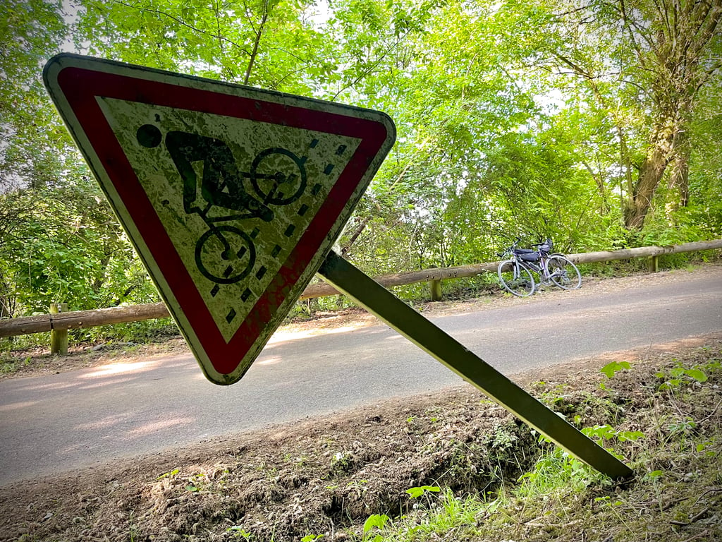
Eventually, we found the small path and came across a sign reassuring cyclists (see photo).
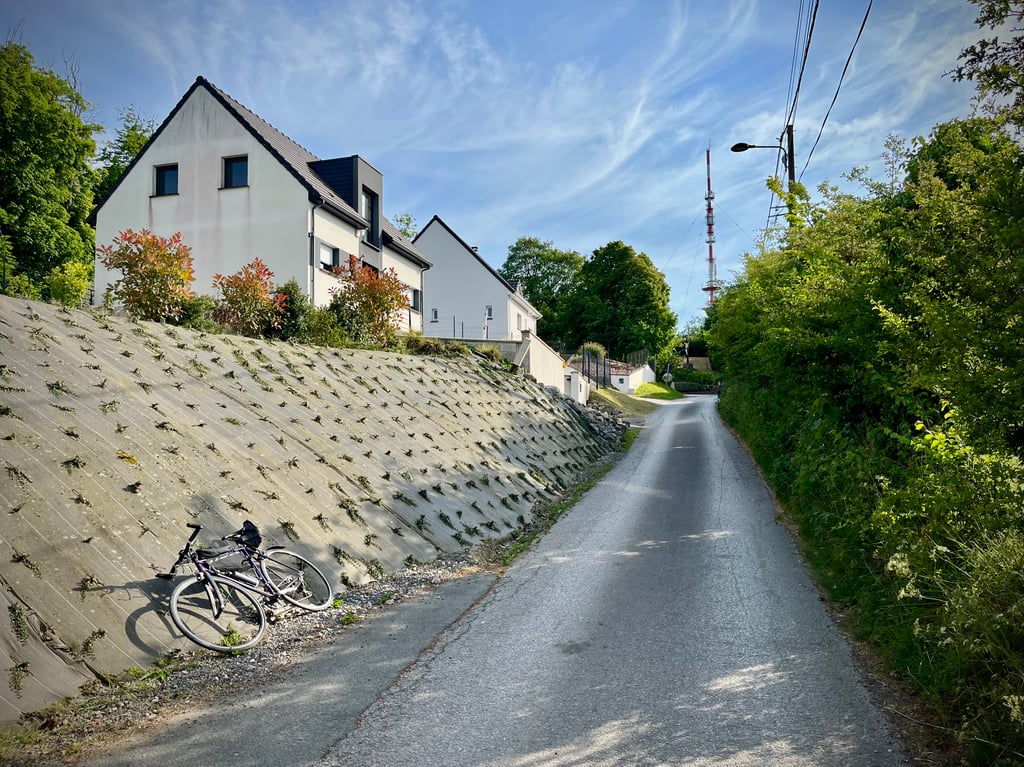
You then escape the hubbub and ride peacefully along the path, which begins to climb much more steeply as you approach Mont Lambert.
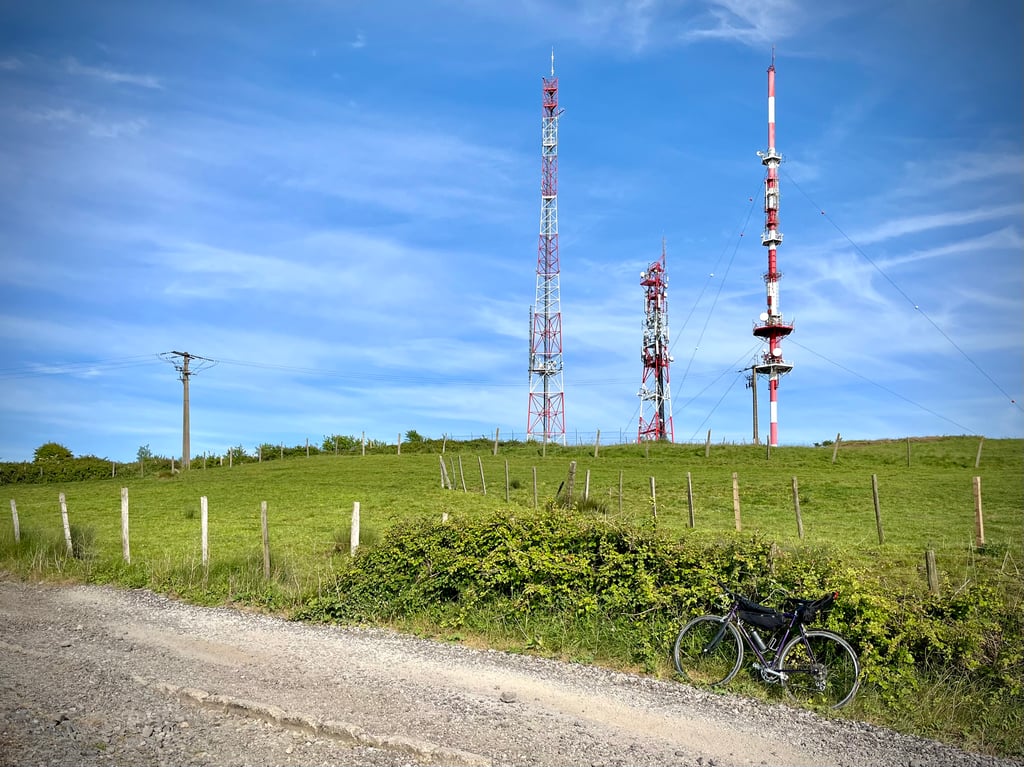
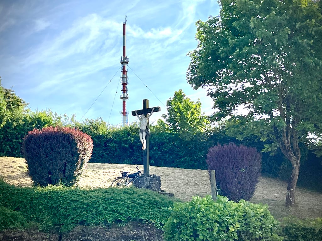
Don't hesitate to continue as far as the antennae. It's a very gravel track, but it's quite nice.
Ça commence plutôt mal ! Le départ s’effectue tout près d’un capharnaüm de ronds points et de routes extrêmement bruyantes.
On finit par dénicher le petit chemin et on tombe sur une pancarte qui rassure les cyclistes (cf photo).
Puis, on s’échappe du brouhaha pour rouler paisiblement sur ce chemin qui se met à grimper nettement plus fort à l’approche du Mont Lambert.
Ne pas hésiter à poursuivre jusqu’aux antennes. C’est une piste bien gravel, mais c’est assez sympa.
| 7 km/h | 00:14:54 |
| 11 km/h | 00:09:29 |
| 15 km/h | 00:06:57 |
| 19 km/h | 00:05:29 |
This page is better in the app