Tips nearby


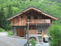
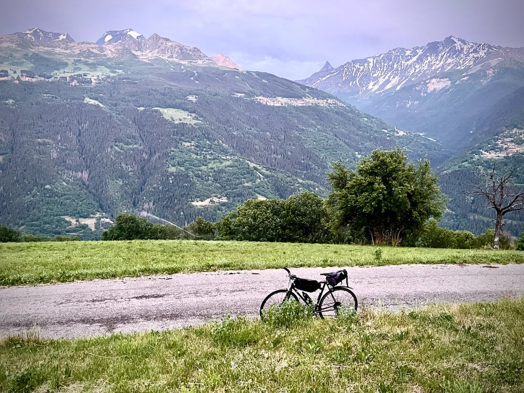
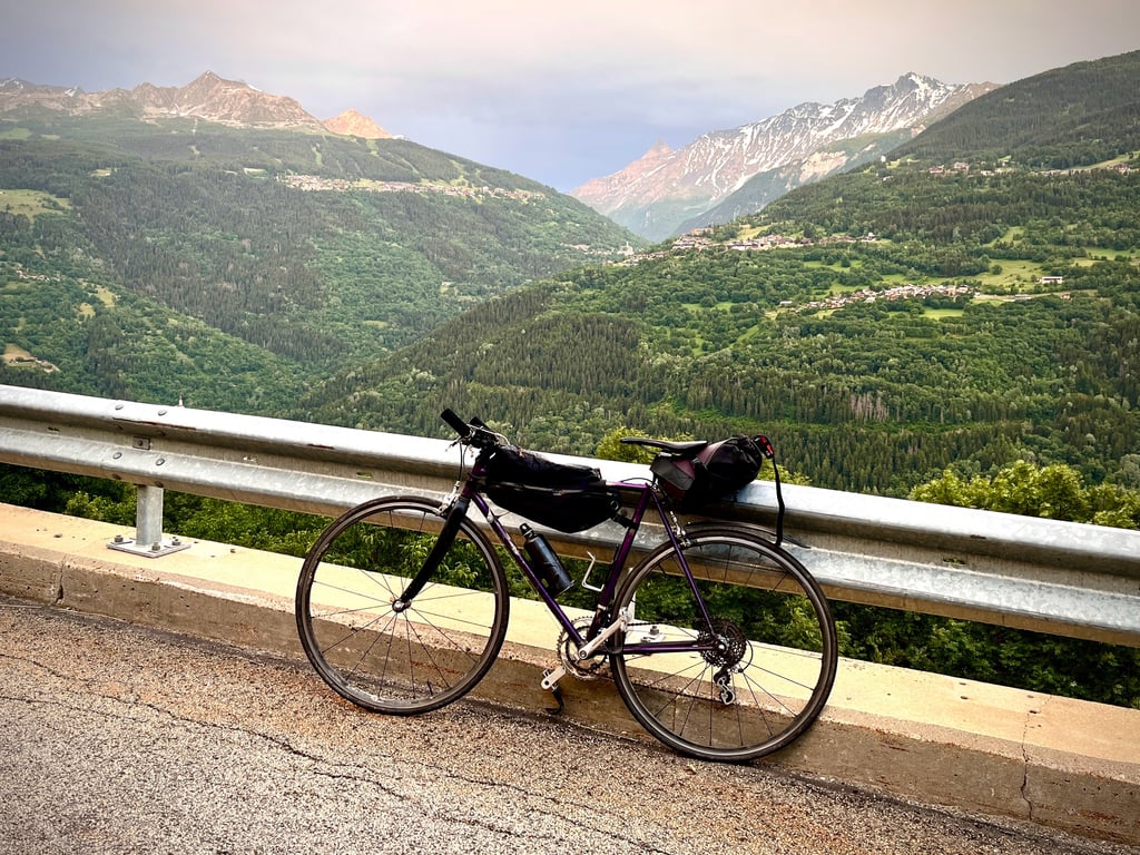
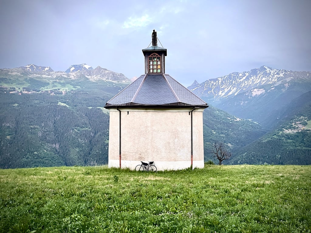
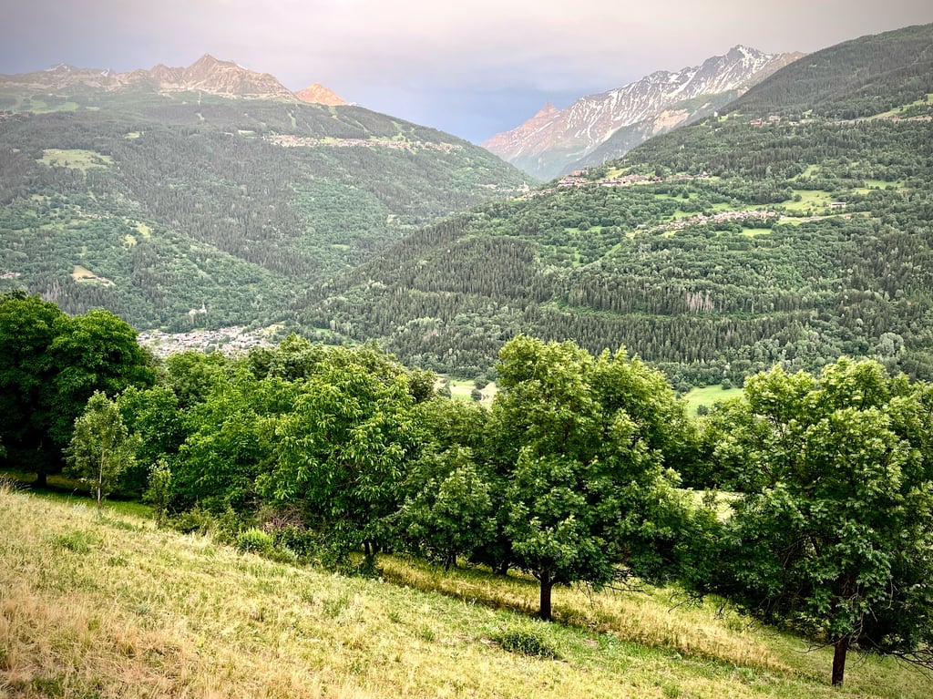
Les Chapelles from Bellentre is a climb in the region Savoie. It is 8.5 km long and bridges 530 m of vertical ascent with an average gradient of 6.2%, resulting in a difficulty score of 372. The top of the ascent is located at 1291 m above sea level. Climbfinder users shared 2 reviews of this climb and uploaded 6 photos.
Road names: Route des Chapelles, Route de Bellentre, Route des Cofinets & Route du Mont Carmel
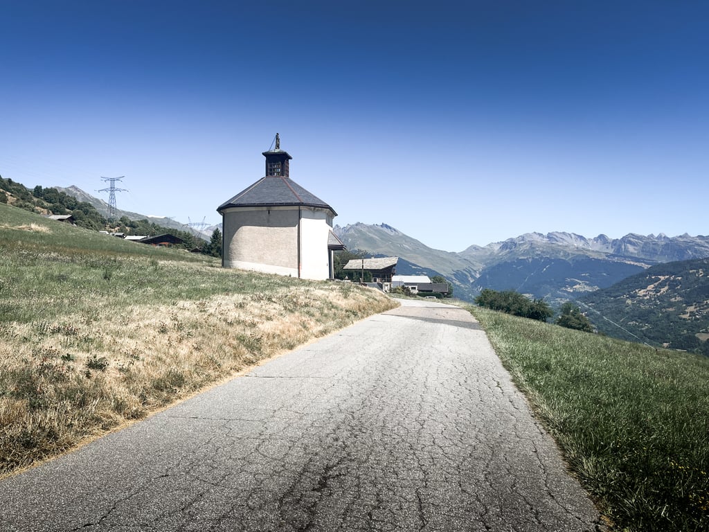
3.0 by CromagnonThis is an automatic translation, the original language is: French.Of course, this climb is no match for the three undisputed mountain passes (Iseran, Cormet, Petit Saint Bernard), but it holds its own. If you don’t want to, or can’t, tackle a hors catégorie pass every day, its reasonable length makes it a very good alternative. Good road surface. Pleasant bends. A quiet road leading to a charming little chapel set against a mountain range that you often pass along the way. A very enjoyable climb.... read more
Welcome! Please activate your account if you would like to share something. Look for the verification email in your inbox.
If you want to upload your photos, you need to create an account. It only takes 1 minute and it's completely free.
Of course, this climb is no match for the three undisputed mountain passes (Iseran, Cormet, Petit Saint Bernard), but it holds its own. If you don’t want to, or can’t, tackle a hors catégorie pass every day, its reasonable length makes it a very good alternative. Good road surface. Pleasant bends. A quiet road leading to a charming little chapel set against a mountain range that you often pass along the way. A very enjoyable climb.
Évidemment, cette ascension ne rivalise pas avec les trois cols indiscutables (Iseran, Cormet, Petit Saint Bernard), mais, elle se défend bien. Si on ne veut pas, si on ne peut pas, faire un col hors catégorie chaque jour, sa longueur raisonnable lui permet d’être une très bonne alternative. Bon revêtement. Virages agréables. Une route, calme qui conduit à une mignonne petite chapelle posée devant une chaîne montagneuse que l’on croise souvent en chemin. Une côte bien plaisante.
| 7 km/h | 01:12:38 |
| 11 km/h | 00:46:13 |
| 15 km/h | 00:33:53 |
| 19 km/h | 00:26:45 |
This page is better in the app