Tips nearby


| 1 hairpin turn |
| #63 toughest climb of Annecy |
| #92 most elevation gain of Annecy |
| #72 average steepest climb of Auvergne-Rhône-Alpes |
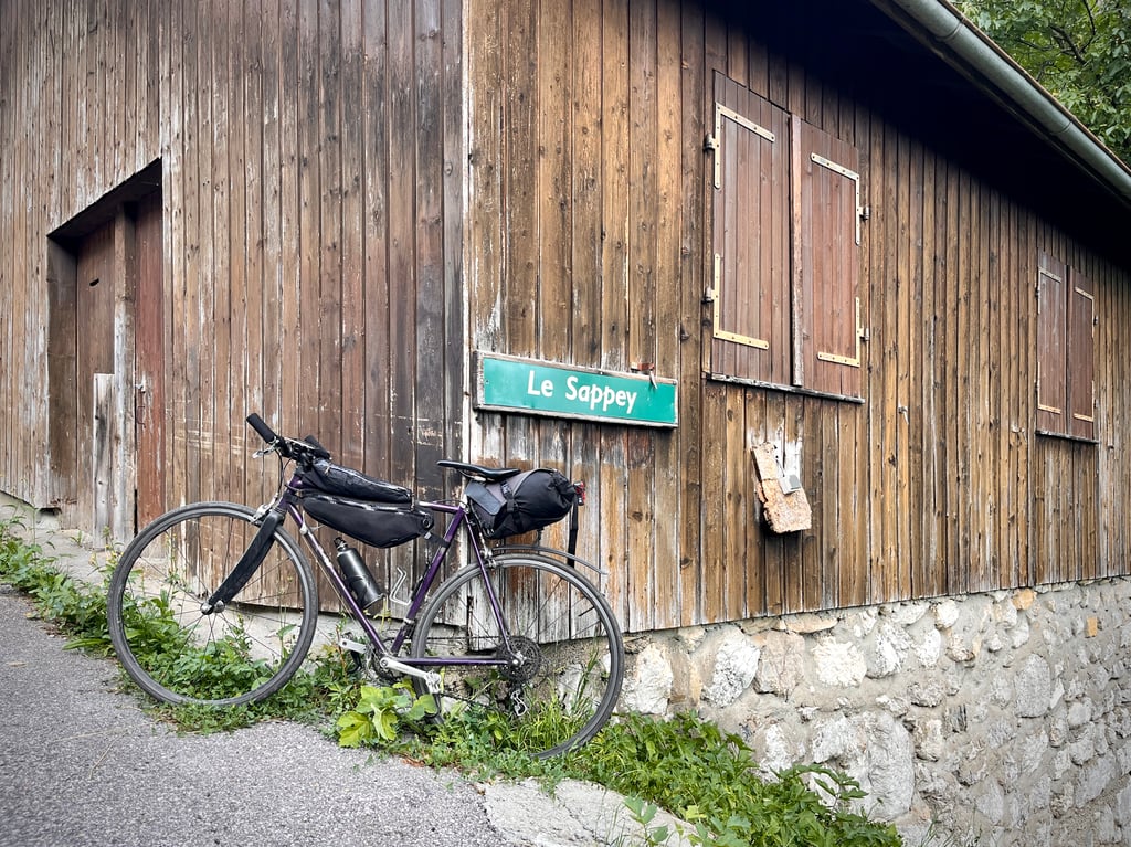
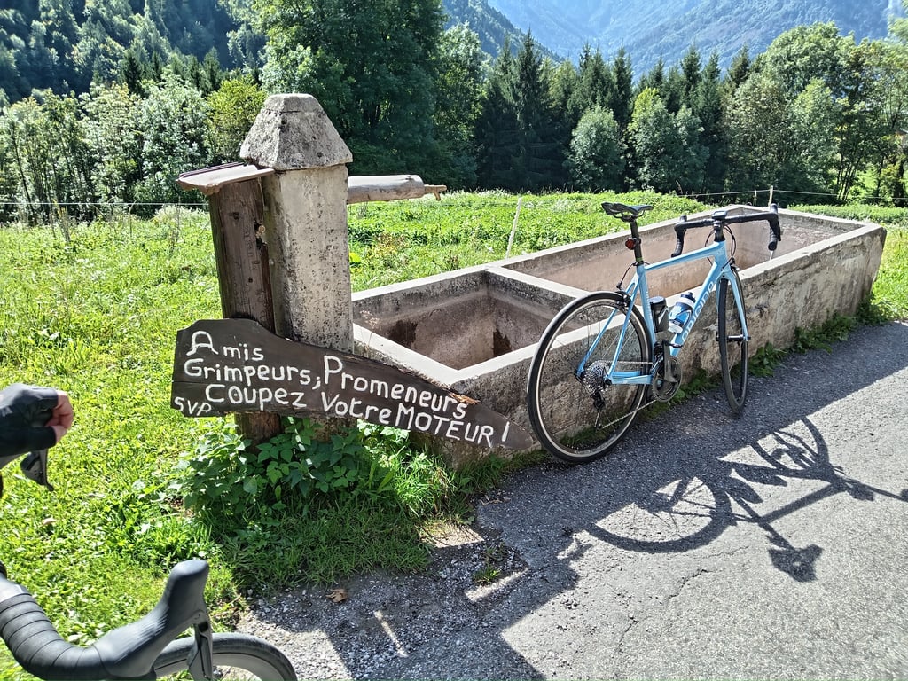
Le Sappey from Thuy Dessus is a climb in the region Annecy. It is 3.3 km long and bridges 381 m of vertical ascent with an average gradient of 11.5%, resulting in a difficulty score of 445. The top of the ascent is located at 998 m above sea level. Climbfinder users shared 3 reviews of this climb and uploaded 9 photos.
Road name: Route du Sappey
4.0 by CromagnonThis is an automatic translation, the original language is: French.A climb of nearly 400 metres over 3 kilometres! It’s certainly no walk in the park. The sort of climb that brings back fond memories of the triple chainring… After all, 3 kilometres can feel like a long way. Especially as the climb doesn’t end at Le Sappey. You have to carry on to a place called Le Crêt, perched a few hundred metres further on, higher up. The end of the climb is the Col de la Buffaz. In fact, you can even push on to the water reservoir, which sits at over 1,000 metres and... read more

Welcome! Please activate your account if you would like to share something. Look for the verification email in your inbox.
If you want to upload your photos, you need to create an account. It only takes 1 minute and it's completely free.
 Continue with Google
 Continue with Facebook
 Continue with Apple
Sign up with email
Continue with Apple
Sign up with email
A climb of nearly 400 metres over 3 kilometres! It’s certainly no walk in the park.
The sort of climb that brings back fond memories of the triple chainring…
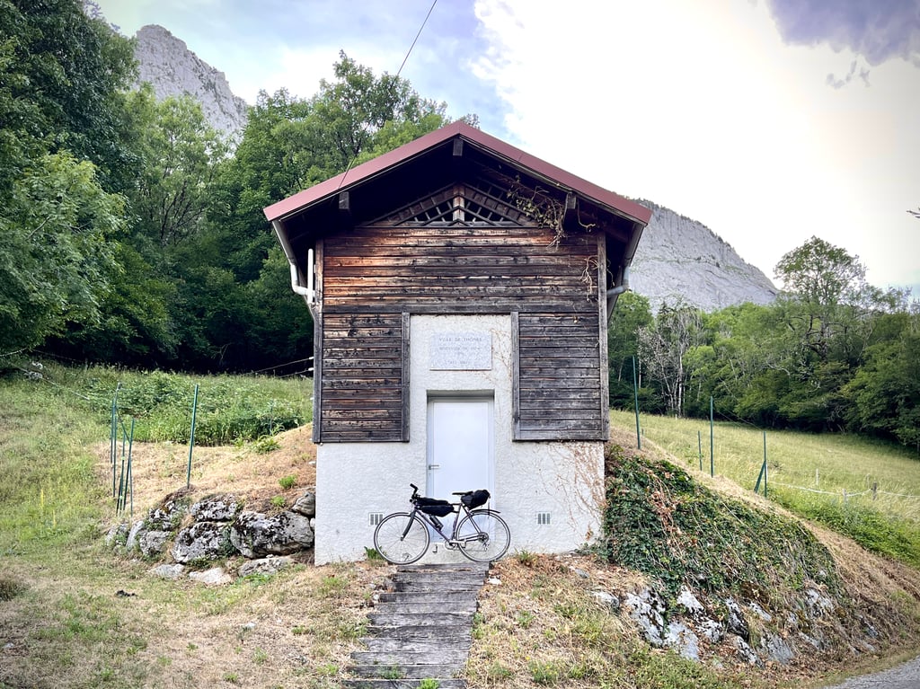
After all, 3 kilometres can feel like a long way. Especially as the climb doesn’t end at Le Sappey. You have to carry on to a place called Le Crêt, perched a few hundred metres further on, higher up. The end of the climb is the Col de la Buffaz. In fact, you can even push on to the water reservoir, which sits at over 1,000 metres and proudly displays its altitude. Then the tarmac ends. Just one bend before the hard part begins, followed by an almost straight stretch…
The road is fairly clear. Well, given the breakneck speed at which I climb this sort of hill, nothing threw me off. And then I saw that Climbfinder estimated it could be climbed at 3.4 km/h! My dignity is intact. During the descent, which was really fast, I felt that some sections weren’t perfect.
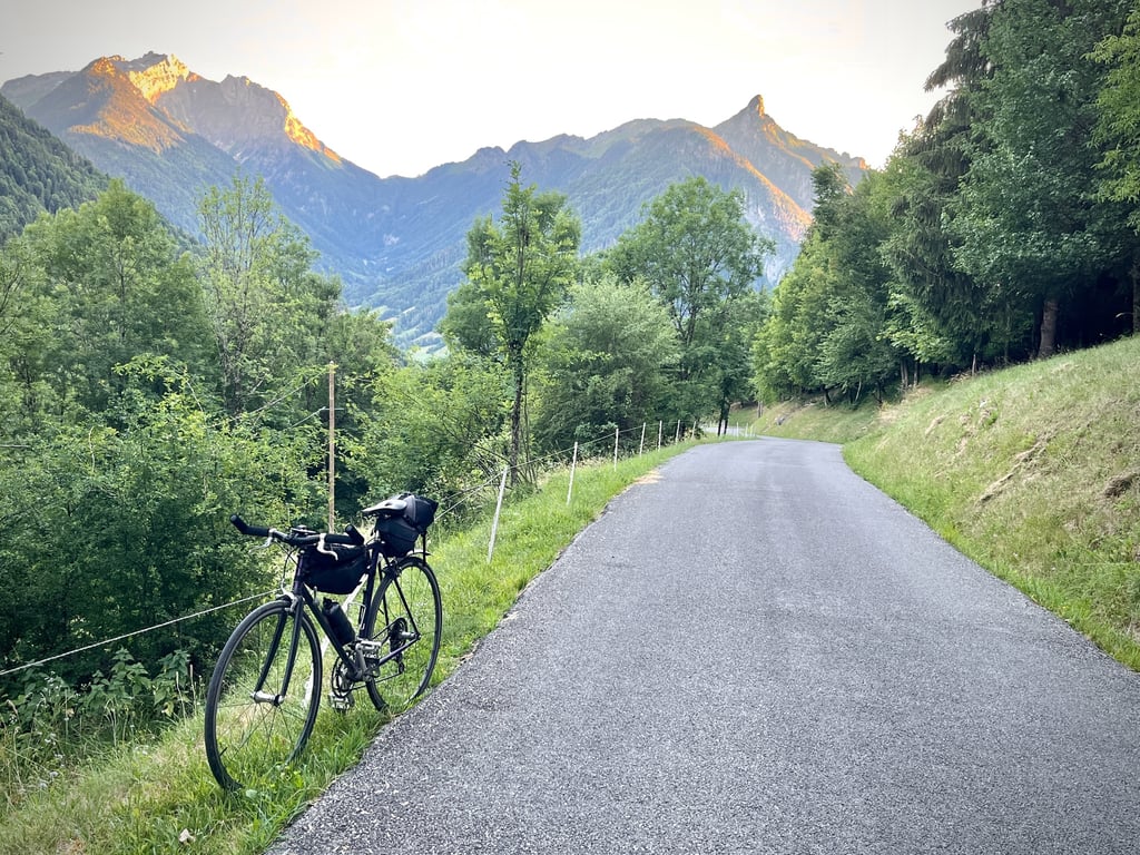
At the top, nothing to write home about, but some lovely, graceful views.
These short, very steep climbs are both challenging and exciting. There are a few of them in the area…
Près de 400 mètres de dénivelé en 3 kilomètres ! Forcément, c’est du sérieux.
Ce genre de rampe qui réveille le doux souvenir du triple plateau…
Finalement, 3 kilomètres, ça peut être long. D’autant que la montée ne s’arrête pas au Sappey. Il faut poursuivre jusqu’au lieu-dit Le Crêt, perché quelques centaines de mètres plus loin, plus haut. La fin correspond au col de la Buffaz. Enfin, on peut même pousser jusqu’au réservoir d’eau qui est à plus de 1000m et l’affiche fièrement. Puis, le goudron s’interrompt. Un seul virage avant d’entrer dans le dur, puis une presque ligne droite…
La route est plutôt propre. Enfin, vu la vitesse vertigineuse à laquelle, je grimpe ce genre de bosses, rien ne m’a perturbé. Et puis, j’ai vu que Climbfinder prévoyait que ça pouvait se grimper à 3,4km/h ! Ma dignité est sauve. Pendant la descente qui va vraiment vite, j’ai ressenti que certains passages n’étaient pas parfaits.
À l’arrivée, rien de renversant, mais de belles vues gracieuses.
Elles sont à la fois exigeantes et excitantes ces courtes côtes très pentues. Il y en a quelques unes dans les environs…
A very short climb of 3.5km on a crazy gradient.
A single hairpin bend a little after the start then a long straight stretch where you have to manage your effort.
Crossing Le Sappey after 2.5km, there's around 1km left still on a terrible gradient with passage at 17%.
The traffic is very calm and the scenery magnificent, but it's worth it.
Une ascension très courte de 3,5km dans une pente de folie.
Un seul lacet un peu après le départ ensuite une grande ligne droite en enfilade où il faut gérer l'effort.
Traversée du Sappey après 2,5km , il reste environ 1km toujours dans une pente terrible avec passage à 17%.
La circulation est très calme et les paysages magnifiques, mais ça ce mérite.
It's a terrible climb with a very steady gradient of around 11 % for almost 3.5 km. The climb is a dead end.
C'est un ascension terrible avec une pente très régulière autour des 11 % sur près de 3,5 km. La monté est un cul de sac.
| 7 km/h | 00:28:26 |
| 11 km/h | 00:18:06 |
| 15 km/h | 00:13:16 |
| 19 km/h | 00:10:28 |
This page is better in the app