| #6 toughest climb of Hauts-de-France |
| #58 most elevation gain of Hauts-de-France |
| #64 average steepest climb of Hauts-de-France |
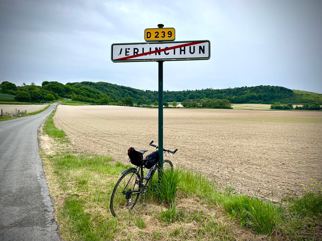
Côte du Haut Pichot / Le Mont Violette is a climb in the region Caps et Marais d'Opale. It is 1.4 km long and bridges 122 m of vertical ascent with an average gradient of 8.4%, resulting in a difficulty score of 127. The top of the ascent is located at 178 m above sea level. Climbfinder users shared 6 reviews of this climb and uploaded 15 photos.
Road names: Route de Mazinghen & Route de Carly
5.0 by LeonThis is an automatic translation, the original language is: Dutch.Definitely one of the climbs of the region. The slopes in the area don't get much harder than Mont Violette. You rarely climb above 10% for so long in this region. The metres seem to pass very slowly. And a glance to the left shows how quickly you gain altitude. Besides that, the good tarmac and the little traffic make it a pleasant climb. Still, as a fan of climbs with bends and hairpins, I doubted whether I would give the 5th star, this climb is mainly one of straightforwardness, exc... read more

Welcome! Please activate your account if you would like to share something. Look for the verification email in your inbox.
If you want to upload your photos, you need to create an account. It only takes 1 minute and it's completely free.
Done many times at Lille Hardelot and during my training sessions. The climb is quite steep, which makes some people put their foot down. A complicated climb overall but far from insurmountable, so I recommend it for beginners who want to start climbing a little. The state of the road is not bad and there's hardly any traffic.
Fait à de nombreuses reprises à Lille Hardelot et à mes entraînements. La montée est assez raide, ce qui fait mettre le pied à terre à certains. Une montée compliquée dans l'ensemble mais loin d'être insurmontable, je la recommande donc pour les débutants qui veulent commencer à grimper un peu. L'état de la route est pas mal et il n'y quasiment pas de circulation
Yes, this Mont Violette is demanding. It's quite heavy over a kilometre.
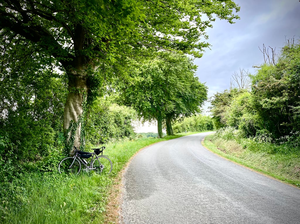
The road is pretty good.
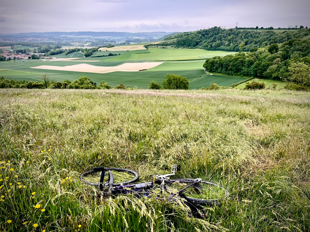
The views over the valley are not breathtaking. Little or no traffic. I still managed to get a lift from a tractor...
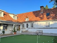
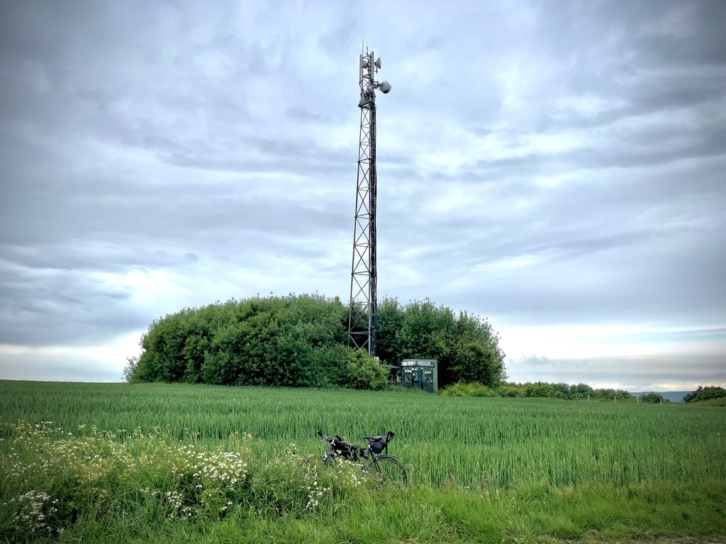
There's nothing magical up there. Farms, fields, a modest antenna, a sad Christ.
Interesting from a cycling point of view, but not visually stunning.
Obviously, this is one of the must-do climbs in the Hauts-de-France region.
Oui, ce Mont Violette est exigeant. Il est assez lourd sur un kilomètre.
La route est plutôt bonne.
Les vues sur la vallée ne sont pas époustouflantes. Pas ou peu de trafic. J’ai encore réussi à me faire déposer par un tracteur…
Là haut, rien de magique. Des fermes, des champs, une antenne modeste, un Christ triste.
Intéressant d’un point de vue cycliste mais pas ébouriffant visuellement.
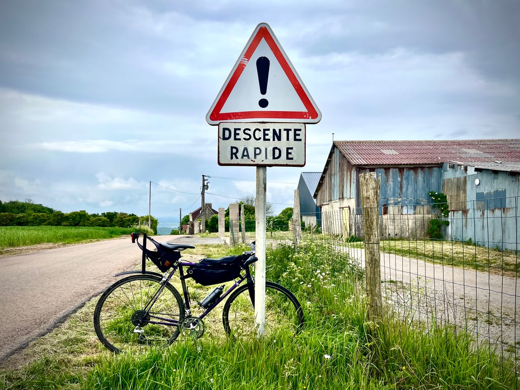
La descente est chouette !
Évidemment, c’est une des montées incontournables des Hauts-de-France.
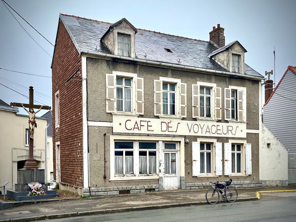
PS : la photo du café des voyageurs a été prise sur la route entre la gare de Neufchâtel Hardelot et le Mont des Violettes.
Challenging climb in beautiful, quiet surroundings. Because there are almost no turns, you can easily see which tough sections await you.
Uitdagende klim in een mooie, rustige omgeving. Omdat er bijna geen bochten zijn kan je goed zien welke zware stukken je nog te wachten staan.
Also known as Haut Pichot. A classic Lille Hardelot walk. One of the most beautiful climbs in the region. Very difficult due to its percentage of over 10% and which lasts...
Connu aussi sous le nom de Haut Pichot. Un classique de la randonnée Lille Hardelot. Une des plus belles montées de la région. Très difficile de par son pourcentage à plus de 10% et qui dure...
Definitely one of the climbs of the region. The slopes in the area don't get much harder than Mont Violette. You rarely climb above 10% for so long in this region. The metres seem to pass very slowly. And a glance to the left shows how quickly you gain altitude. Besides that, the good tarmac and the little traffic make it a pleasant climb.
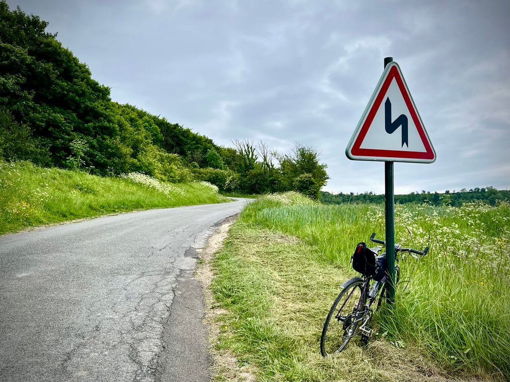
Still, as a fan of climbs with bends and hairpins, I doubted whether I would give the 5th star, this climb is mainly one of straightforwardness, except for an S-curve in the beginning of the climb. But the difficulty of the climb itself gives right to the 5 stars.
Absoluut één van de beklimmingen van de streek. Veel zwaarder dan de Mont Violette worden de hellingen in de weide omgeving niet. Zo lang boven de 10% gaat het in deze streek zelden. De meters lijken uiterst traag voorbij te gaan. En een blik naar links maakt duidelijk hoe snel je hoogtemeters wint. Daarnaast maken het goede asfalt en het weinige verkeer het aangenaam klimmen.
Toch twijfelde ik als liefhebber van hellingen die zich via bochten en haarspelden omhoog slingeren of ik ook de 5de ster zou geven, deze klim is er op een S-bocht in het begin van de klim na toch voornamelijk één van recht toe recht aan. Maar de lastigheid van de klim zelf geeft toch recht aan de 5 sterren.
An absolute must to climb if you are cycling in this region. Nice piece of almost a kilometer with more than 10% on a very good road surface with little traffic.
Beklimming die je absoluut moet doen als je in deze regio fietst. Leuk stuk van bijna een kilometer aan meer dan 10% op een zeer goed wegdek met weinig verkeer.
| 7 km/h | 00:12:24 |
| 11 km/h | 00:07:53 |
| 15 km/h | 00:05:47 |
| 19 km/h | 00:04:34 |
This page is better in the app