View on map
© MapLibre | OpenStreetMap contributors
1%
2%
4%
6%
8%
10%
12%
15%
20%

Le Mont Caly

5.0
1 review/story | Elevation profile | 1 photo
Tips nearby
Le Mont Caly
transparant thumb
transparant thumb
transparant thumb
transparant thumb
transparant thumb
transparant thumb
transparant thumb
Your achievable time
Calculating based on your best performances...
Relaxed
Maximum
W/kg
W/kg
W/kg
Analyse your climbing performance
Detailed insight into your climbing performance & automatically check off climbs
Based on your best performances.
Your best attempt:
Number of attempts:
Elevation profile Le Mont Caly

Statistics

Difficulty points 378
Length 4.5 km
Average gradient 8.4%
Steepest 100 metres 21.1%
Total ascent 379 m

Short recap

Beautiful scenery
8 hairpin turns
#86 average steepest climb of Haute Savoie
Feedback about this climb?
Show climbs nearby Export to GPS device

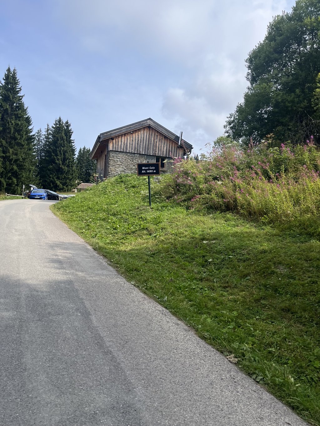
Le Mont Caly is a climb in the region Haute Savoie. It is 4.5 km long and bridges 379 m of vertical ascent with an average gradient of 8.4%, resulting in a difficulty score of 378. The top of the ascent is located at 1484 m above sea level. Climbfinder users shared 1 review/story of this climb and uploaded 1 photo.

Road names: Route de Magy & Route du Mont Caly

5.0 by CasperN
Really nice climb. Not too challenging with consistent gradients and good road surface. Beautiful scenery with a breathtaking view at the top. ... read more

Photos (1)

Le Mont Caly
transparant thumb
transparant thumb
transparant thumb
transparant thumb
transparant thumb

Your uploads (max 4)

Welcome! Please activate your account if you would like to share something. Look for the verification email in your inbox.

If you want to upload your photos, you need to create an account. It only takes 1 minute and it's completely free.

  • Receive free climbfinder goodies for your reviews & photos.
  • Create a bucket list and check off conquered climbs.
  • Add missing climbs.
Continue with GoogleContinue with Google Continue with FacebookContinue with Facebook Continue with AppleContinue with Apple Sign up with email
By signing up you agree to our terms of service and confirm that you have read our privacy & content policy.

Reviews (1)

5.0
4.0
3.0
2.0
1.0
CasperN
6 Mo 5.0 via the Climbfinder app

Really nice climb. Not too challenging with consistent gradients and good road surface. Beautiful scenery with a breathtaking view at the top.

Le Mont Caly
Dashboard

Climbing times

7 km/h 00:38:45
11 km/h 00:24:39
15 km/h 00:18:05
19 km/h 00:14:16

Road surface condition

100% 0% 0%
Based on 3 votes
Share your knowledge. What was the road condition during your ascent?

Traffic

100% 0% 0%
Based on 3 votes
Your experience counts. How much traffic did you encounter during the climb?

Frequently Asked Questions

Le Mont Caly is a challenging ascent. For this type of climbing, we recommend mountain gearing, specifically a compact system. This means a small front chainring of 34 teeth, combined with a rear cassette where, depending on your level, strength, and experience, you choose a sprocket with 30, 32, or even 34 teeth. Remember that a smooth cadence is always more efficient!

Le Mont Caly is a serious climb and falls into the 2nd category. With a good basic fitness level, even without much cycling experience, you can complete this climb just fine. However, a bike with climbing gears is a must. Without experience or training, it will be really tough – but that’s part of the challenge!

Le Mont Caly is 4.5 km long.

The average gradient of Le Mont Caly is 8.4%.

Le Mont Caly has a steepest segment with an average gradient of 21.1%.

The summit of Le Mont Caly is at 1484 m.

At a slow pace of 7 km/h, it takes about 00:38:45 to climb Le Mont Caly. At 11 km/h the time is 00:24:39, and at 15 km/h 00:18:05. For the fastest cyclists, 00:14:16 is an achievable time.

Le Mont Caly is located in the region Haute Savoie in France.

This page is better in the app

Climbfinder app
Climbfinder
(Free)
Open