View on map
© MapLibre | OpenStreetMap contributors
1%
2%
4%
6%
8%
10%
12%
15%
20%

Le Markstein from Buhl / Lautenbach

0 reviews | Elevation profile | 0 photos
Tips nearby
Your achievable time
Calculating based on your best performances...
Relaxed
Maximum
W/kg
W/kg
W/kg
Analyse your climbing performance
Detailed insight into your climbing performance & automatically check off climbs
Based on your best performances.
Your best attempt:
Number of attempts:
Elevation profile Le Markstein from Buhl / Lautenbach

Statistics

Difficulty points 531
Length 15.6 km
Average gradient 5.2%
Steepest 100 metres 9.2%
Total ascent 806 m

Short recap

#17 toughest climb of Grand Est
#12 most elevation gain of Grand Est
#19 longest climb of Grand Est
Feedback about this climb?
Show climbs nearby Export to GPS device

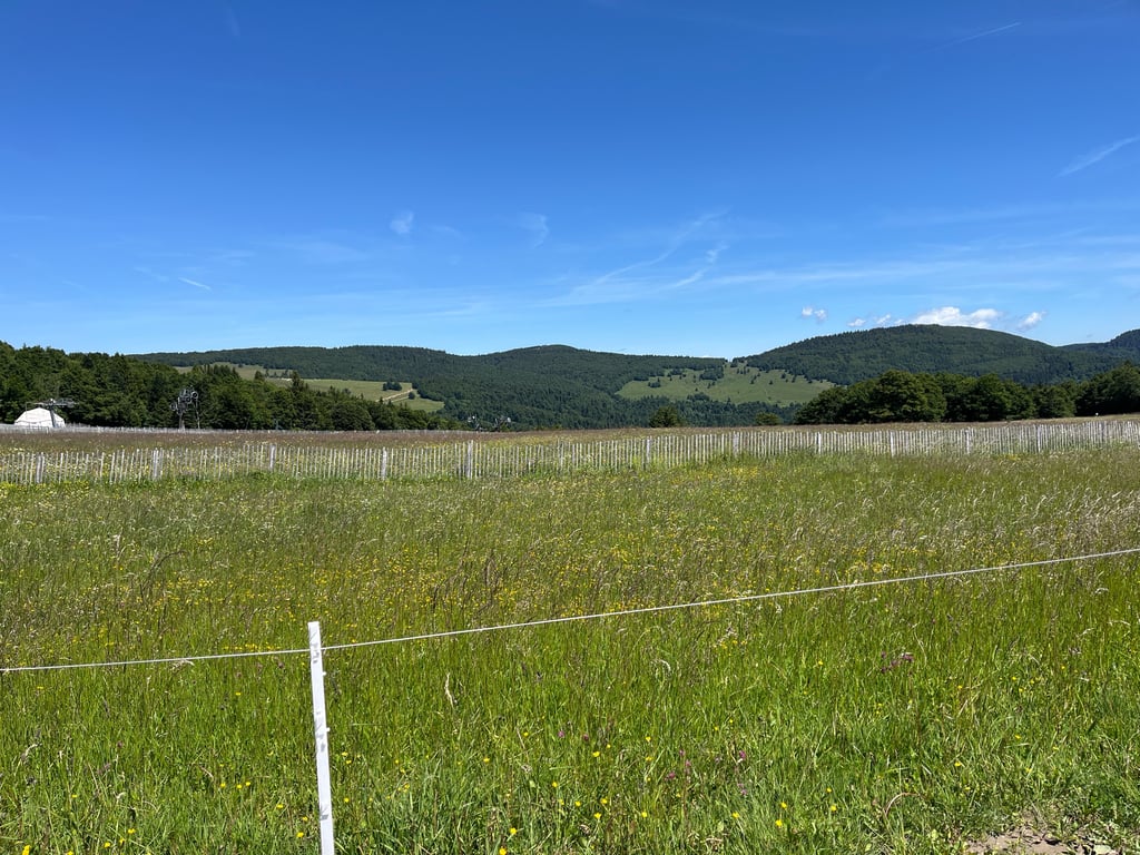
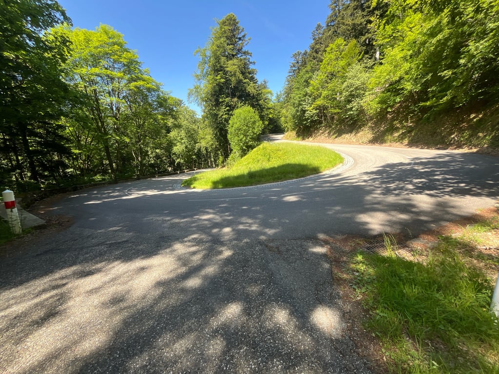
Le Markstein from Buhl / Lautenbach is a climb in the region Upper Rhine. It is 15.6 km long and bridges 806 m of vertical ascent with an average gradient of 5.2%, resulting in a difficulty score of 531. The top of the ascent is located at 1180 m above sea level. Climbfinder users shared 0 reviews of this climb and uploaded 0 photos.

Road name: Route des Crêtes

Photos (0)

transparant thumb
transparant thumb
transparant thumb
transparant thumb
transparant thumb
transparant thumb

Your uploads (max 4)

Welcome! Please activate your account if you would like to share something. Look for the verification email in your inbox.

If you want to upload your photos, you need to create an account. It only takes 1 minute and it's completely free.

  • Receive free climbfinder goodies for your reviews & photos.
  • Create a bucket list and check off conquered climbs.
  • Add missing climbs.
Continue with GoogleContinue with Google Continue with FacebookContinue with Facebook Continue with AppleContinue with Apple Sign up with email
By signing up you agree to our terms of service and confirm that you have read our privacy & content policy.

Reviews (0)

5.0
4.0
3.0
2.0
1.0

Climbing times

7 km/h 02:13:36
11 km/h 01:25:01
15 km/h 01:02:20
19 km/h 00:49:13

Road surface condition

0% 0% 0%
Based on 0 votes
Share your knowledge. What was the road condition during your ascent?

Traffic

0% 0% 0%
Based on 0 votes
Your experience counts. How much traffic did you encounter during the climb?

Frequently Asked Questions

You don't need special gearing for Le Markstein from Buhl / Lautenbach. The slope isn't long or steep enough to require much shifting down. You can conquer this climb on power alone. However, a compact gearing system with a smallest front chainring of 34 and largest rear sprocket of 28 or 30 is always nice if you enjoy cycling uphill. This helps maintain a smooth cadence.

Le Markstein from Buhl / Lautenbach is a serious climb and falls into the 2nd category. With a good basic fitness level, even without much cycling experience, you can complete this climb just fine. However, a bike with climbing gears is a must. Without experience or training, it will be really tough – but that’s part of the challenge!

Le Markstein from Buhl / Lautenbach is 15.6 km long.

The average gradient of Le Markstein from Buhl / Lautenbach is 5.2%.

Le Markstein from Buhl / Lautenbach has a steepest segment with an average gradient of 9.2%.

The summit of Le Markstein from Buhl / Lautenbach is at 1180 m.

At a slow pace of 7 km/h, it takes about 02:13:36 to climb Le Markstein from Buhl / Lautenbach. At 11 km/h the time is 01:25:01, and at 15 km/h 01:02:20. For the fastest cyclists, 00:49:13 is an achievable time.

Le Markstein from Buhl / Lautenbach is located in the region Upper Rhine in France.

This page is better in the app

Climbfinder app
Climbfinder
(Free)
Open