La Riondette from Saint-Christophe-sur-Guiers is a climb in the region Grenoble. It is 12.9 km long and bridges 853 m of vertical ascent with an average gradient of 6.6%, resulting in a difficulty score of 754. The top of the ascent is located at 1253 m above sea level. Climbfinder users shared 1 review/story of this climb and uploaded 4 photos.
Road names: Route des Entremonts & Vers Arpison
3.0 by PeterB53The first part of this climb is on a bigger road with many cars. There are however a few enjoyable views on this part, especially a section of balcony road right before turning onto a side road. The side road is immediately much steeper, but also surrounded by forest on the first long stretch. Whereas the first part was mostly false flat, this is a real climb with long stretches of >10%. There aren't many cars on this part of the climb, and as you climb through the trees the views bec... read more
Welcome! Please activate your account if you would like to share something. Look for the verification email in your inbox.
If you want to upload your photos, you need to create an account. It only takes 1 minute and it's completely free.
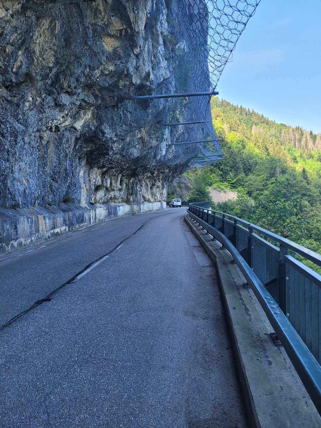
The first part of this climb is on a bigger road with many cars. There are however a few enjoyable views on this part, especially a section of balcony road right before turning onto a side road.
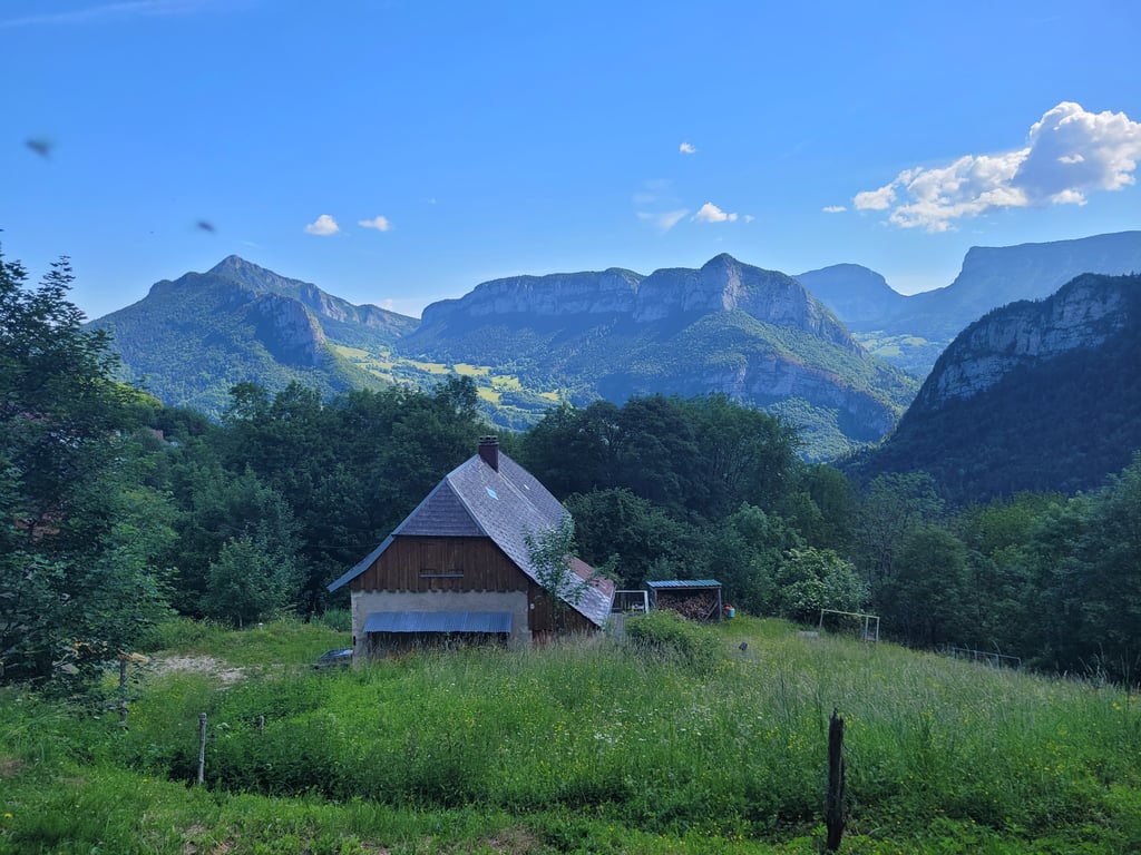
The side road is immediately much steeper, but also surrounded by forest on the first long stretch. Whereas the first part was mostly false flat, this is a real climb with long stretches of >10%. There aren't many cars on this part of the climb, and as you climb through the trees the views becomes better and better.
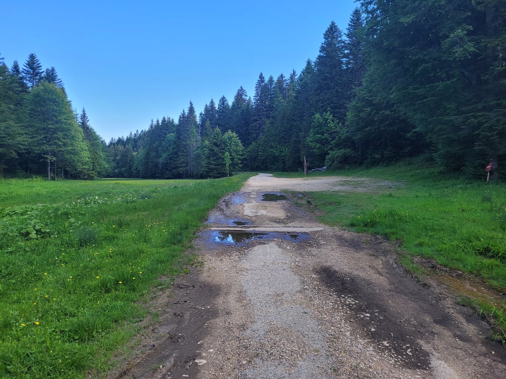
With a few km to go you reach the nordic centre where you will find the last views. The remaining few km's are in the forest, on very bad tarmac (partly gravel) and more false flat than actual climbing.
| 7 km/h | 01:50:32 |
| 11 km/h | 01:10:20 |
| 15 km/h | 00:51:35 |
| 19 km/h | 00:40:43 |
This page is better in the app