| 2 hairpin turns |
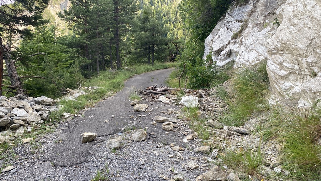
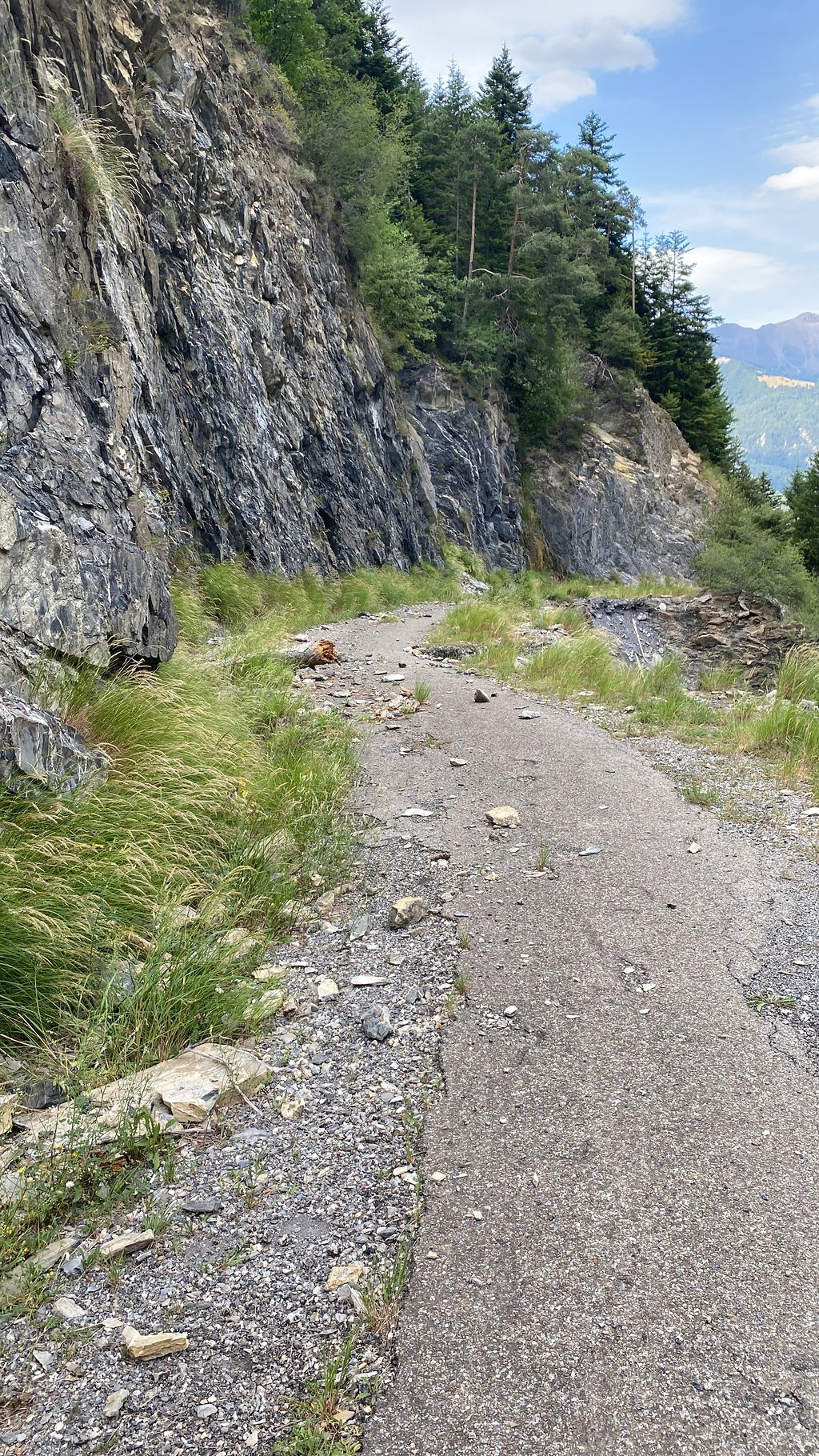
| Bad road |
| #37 toughest climb of Alpes-de-Haute-Provence |
| #89 most elevation gain of Alpes-de-Haute-Provence |
| #48 average steepest climb of French Alps |
La Gaffe from Les Thuiles is a climb in the region Serre Ponçon. It is 2.6 km long and bridges 293 m of vertical ascent with an average gradient of 11.4%, resulting in a difficulty score of 383. The top of the ascent is located at 1371 m above sea level. Climbfinder users shared 2 reviews of this climb and uploaded 8 photos.
Road name: Route de Gimette
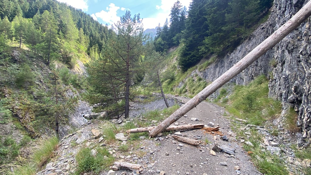
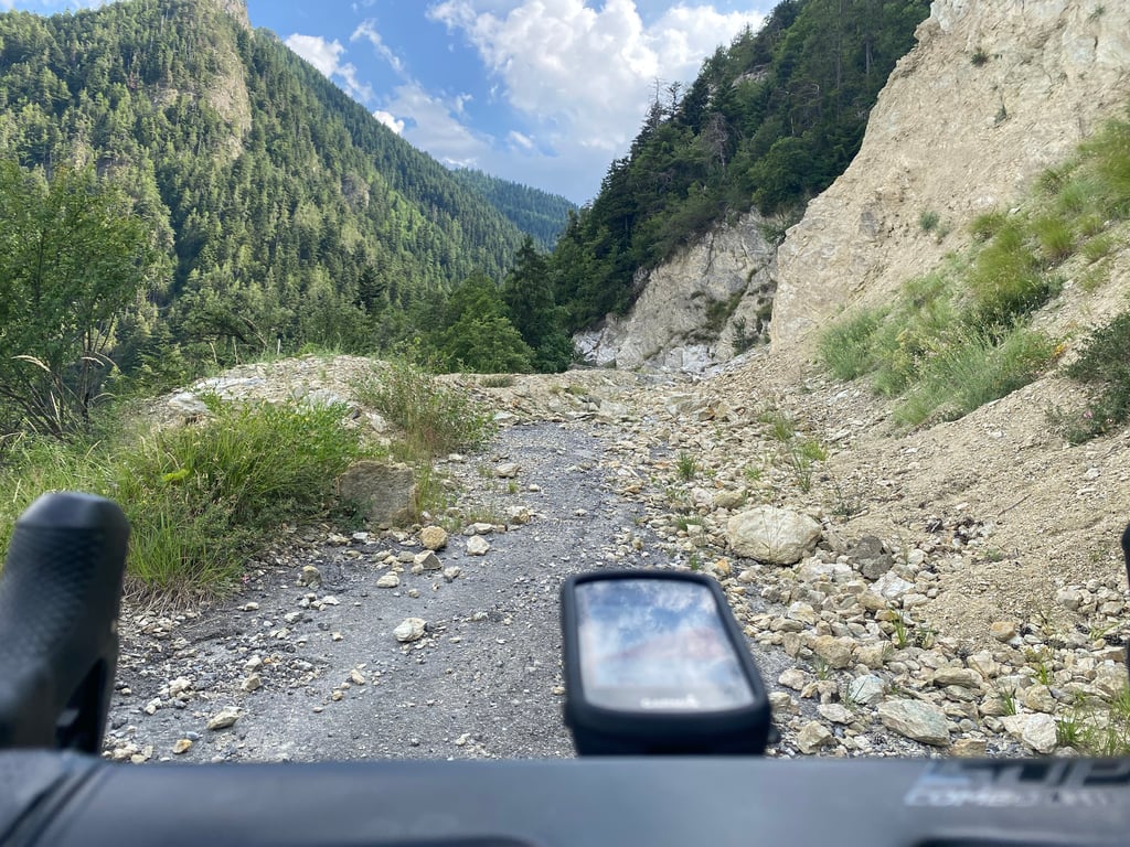
2.0 by HenkvandeSterreThis is an automatic translation, the original language is: Dutch.Spicy start with stones on the road. Stone avalanches can be passed on foot. Beautiful surroundings.... read more

Welcome! Please activate your account if you would like to share something. Look for the verification email in your inbox.
If you want to upload your photos, you need to create an account. It only takes 1 minute and it's completely free.
Spicy start with stones on the road. Stone avalanches can be passed on foot. Beautiful surroundings.
Pittig begin met stenen op de weg. De steenlawines zijn te voet te passeren. Mooie omgeving.
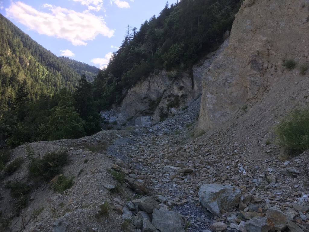
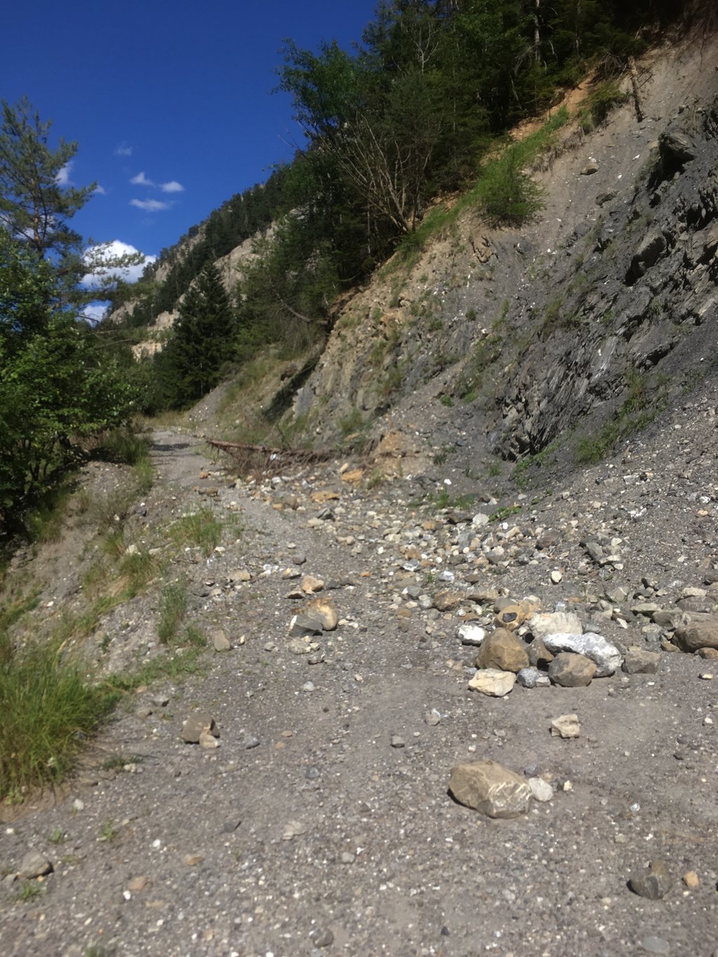
Narrow moo steep road, but beautiful! Route Barrée due to several landslides. After some climbing and scrambling with the bike on my back, I reached the end of the tarmac section. Here at a small bridge we had a nice view of Barcelonette and further into the gorge.
Smalle loei steile weg, maar wel prachtig! Route Barrée wegens meerdere aardverschuivingen. Na een stukje klimmen en klauteren met de fiets op de rug toch het einde van het geasfalteerde stuk bereikt. Hier bij een bruggetje een mooie uitkijk op Barcelonette en verder de kloof in.
| 7 km/h | 00:21:59 |
| 11 km/h | 00:13:59 |
| 15 km/h | 00:10:15 |
| 19 km/h | 00:08:06 |
This page is better in the app