Elevation profile Jan Vranckxstraat from Langerode
34
difficulty points
4.3%
avg. gradient
10.9%
steepest 100 meters
1.1km
length
46m
total ascent

Share this climb

2233

Feedback about this climb?
Show climbs nearby

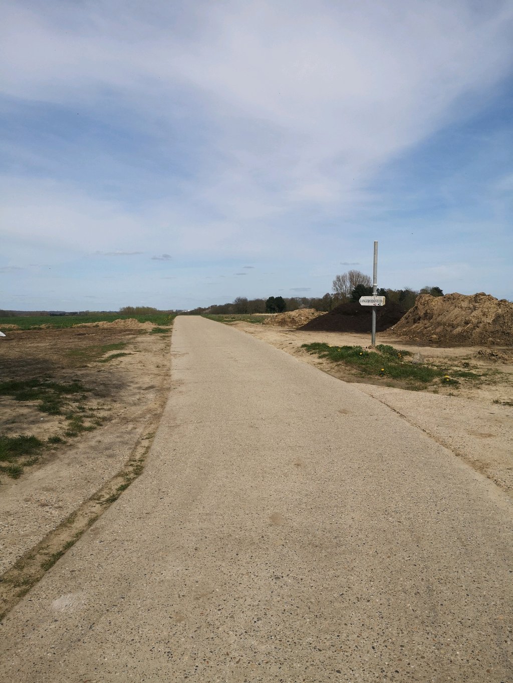
Jan Vranckxstraat from Langerode is a climb in the region Druivenstreek. It is 1.1km long and bridges 46 vertical meters with an average gradient of 4.3%, resulting in a difficulty score of 34. The top of the ascent is located at 84 meters above sea level. Climbfinder users shared 1 review/story of this climb and uploaded 0 photos.

Road name: Jan Vranckxstraat

This is an automatic translation, the original language is: French.
Relatively difficult climb to an agricultural plateau, on a small pleasant road. Be careful, in wet weather this road can be covered with mud...... read more
1%
2%
4%
6%
8%
10%
12%
15%
20%
Click on the climb for street view
Show climbs nearby

Photos (0)

If you want to upload your photos, you need to create an account. It only takes 1 minute and it's completely free.

  • Add photos of your conquered climbs.
  • Share your experience on all ascents you've climbed
  • Submit your favorite climbs
Sign up

Already have an account?

Statistics

Jan Vranckxstraat from Langerode
This climb
Druivenstreek
91 climbs
Dijleland
187 climbs
Ardennes Brabançonnes
454 climbs
Flemish Brabant
767 climbs
Flanders
2303 climbs
Belgium
6614 climbs
Europe
29148 climbs
Difficulty points
34
rank
35
59% easier than
Moskesstraat from Terlanen
rank
44
59% easier than
Moskesstraat from Terlanen
rank
190
rank
96
59% easier than
Moskesstraat from Terlanen
rank
244
79% easier than
Fiertelmeers
rank
2492
90% easier than
Col de Haussire
rank
20491
Average gradient
4.3%
rank
51
64% less steep than
Vosdellestraat
rank
103
64% less steep than
Vosdellestraat
rank
253
64% less steep than
Vosdellestraat
rank
290
66% less steep than
Maaldersstraat from Aarschot
rank
673
67% less steep than
Paterberg
rank
3023
76% less steep than
La Goulette from Olloy-sur-Viroin
rank
18416
86% less steep than
Calçada do Rêgo Lameiro
Length
1.1km
rank
33
57% shorter than
Maleizen via Boslaan
rank
53
57% shorter than
Maleizen via Boslaan
rank
196
73% shorter than
Le Foriest from Nivelles
rank
262
81% shorter than
Overaad via Nieuwenhove
rank
846
81% shorter than
Overaad via Nieuwenhove
rank
3484
rank
21751
Total ascent
46m
rank
38
36% less ascent than
Ottenburg via Terlaenenstraat
rank
51
36% less ascent than
Ottenburg via Terlaenenstraat
rank
227
rank
166
51% less ascent than
Sanatoriumstraat from Lakenberg
rank
464
66% less ascent than
Hotond via Hoogbergstraat
rank
3199
90% less ascent than
Signal de Botrange from Membach
rank
22140

Classification

Famous climb
Beautiful scenery
Hidden gem
0 hairpin turns

Road surface condition

50% 50% 0%
Based on 2 votes
Share your knowledge. What was the road condition during your ascent?

Traffic

100% 0% 0%
Based on 2 votes
Your experience counts. How much traffic did you encounter during the climb?

Climbing times

7 km/h 00:09:19
11 km/h 00:05:55
15 km/h 00:04:20
19 km/h 00:03:25

Popular

Add my review/story

Reviews/stories (1)

Franck_Pastor
1 y
This is an automatic translation, the original language is: French. Show original

Relatively difficult climb to an agricultural plateau, on a small pleasant road. Be careful, in wet weather this road can be covered with mud...

Montée relativement difficile vers un plateau agricole, sur une petite route agréable à parcourir. Attention, par temps humide cette route peut être couverte de boue…

Add my review/story

If you want to share something you need to create an account. It only takes 1 minute and it's completely free.

  • Add photos of your conquered climbs.
  • Share your experience on all ascents you've climbed
  • Submit your favorite climbs
Sign up

Already have an account?