View on map
© MapLibre | OpenStreetMap contributors
1%
2%
4%
6%
8%
10%
12%
15%
20%

Oeselenberg via Nijmeegsebaan

2.5
2 reviews | Elevation profile | 7 photos
Tips nearby
Oeselenberg via Nijmeegsebaan
transparant thumb
Your achievable time
Calculating based on your best performances...
Relaxed
Maximum
W/kg
W/kg
W/kg
Analyse your climbing performance
Detailed insight into your climbing performance & automatically check off climbs
Based on your best performances.
Your best attempt:
Number of attempts:
Elevation profile Oeselenberg via Nijmeegsebaan

Statistics

Difficulty points 4
Length 0.5 km
Average gradient 2.7%
Steepest 100 metres 3.4%
Total ascent 14 m
Feedback about this climb?
Show climbs nearby Export to GPS device

Oeselenberg via Nijmeegsebaan is a climb in the region Rijk van Nijmegen. It is 0.5 km long and bridges 14 m of vertical ascent with an average gradient of 2.7%, resulting in a difficulty score of 4. The top of the ascent is located at 51 m above sea level. Climbfinder users shared 2 reviews of this climb and uploaded 7 photos.

Road name: Nijmeegsebaan

2.0 by Fedor
This is an automatic translation, the original language is: Dutch.
An excellent cycle path but the gradient feels a bit faint and you cycle along a pretty busy road. Do have a clear summit and a good connecting route.... read more

Photos (7)

Oeselenberg via Nijmeegsebaan
transparant thumb
transparant thumb
transparant thumb
transparant thumb
transparant thumb

Your uploads (max 4)

Welcome! Please activate your account if you would like to share something. Look for the verification email in your inbox.

If you want to upload your photos, you need to create an account. It only takes 1 minute and it's completely free.

  • Receive free climbfinder goodies for your reviews & photos.
  • Create a bucket list and check off conquered climbs.
  • Add missing climbs.
Continue with GoogleContinue with Google Continue with FacebookContinue with Facebook Continue with AppleContinue with Apple Sign up with email
By signing up you agree to our terms of service and confirm that you have read our privacy & content policy.

Reviews (2)

5.0
4.0
3.0
2.0
1.0
Fedor
11 Mo 2.0
This is an automatic translation, the original language is: Dutch. Show original

An excellent cycle path but the gradient feels a bit faint and you cycle along a pretty busy road. Do have a clear summit and a good connecting route.

Een uitstekend fietspad maar de helling voelt wat flauwtjes aan en je fietst langs een best drukke weg. Wél een duidelijke top en een goede verbindingsroute.

Oeselenberg via Nijmeegsebaan
Dashboard
RobertS
5 y 3.0
This is an automatic translation, the original language is: Dutch. Show original

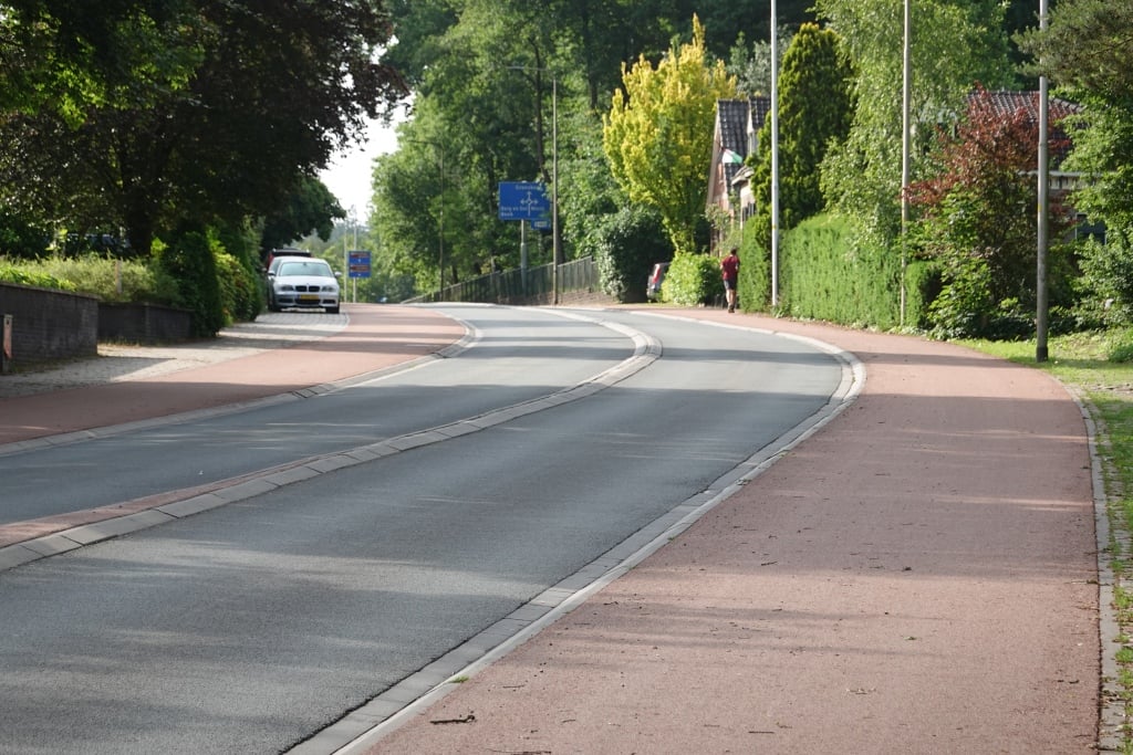
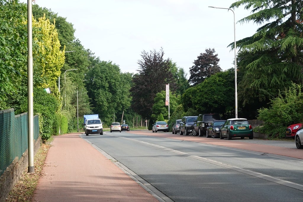
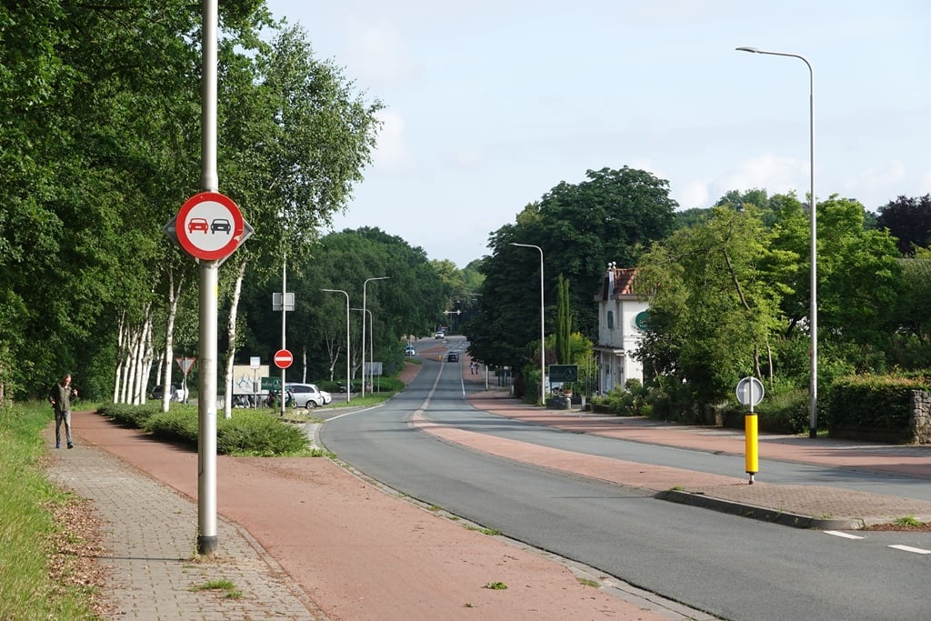
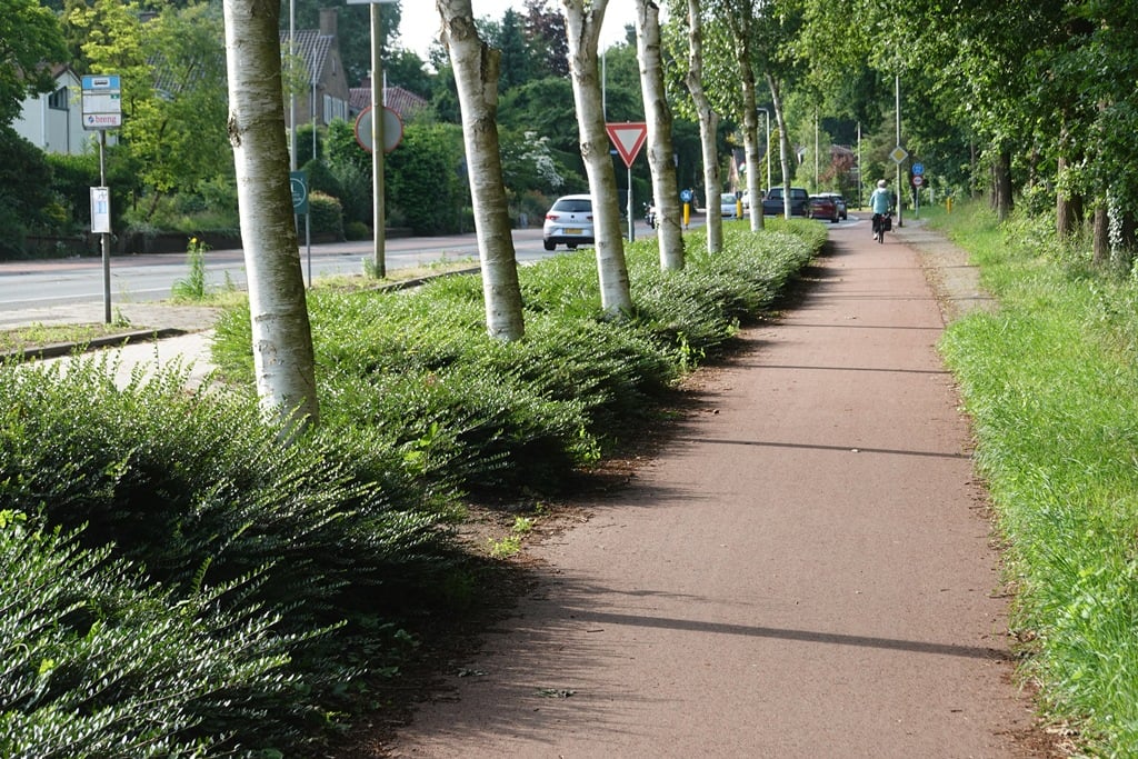
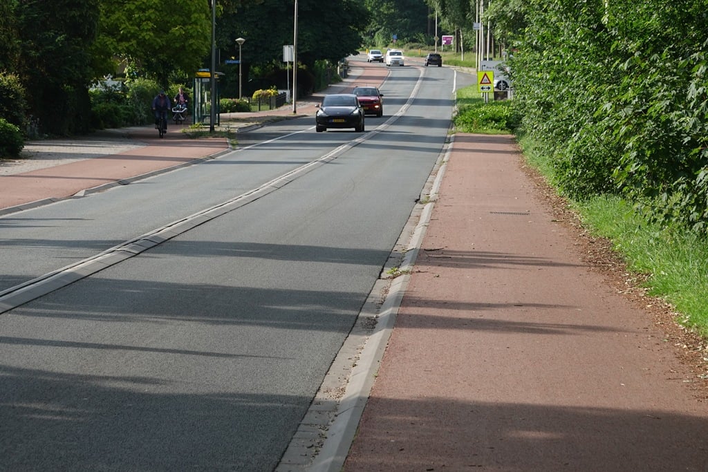
This has been the first climb of the Ronde van Nijmegen for years. Unsuspectingly, the participants turn off the Toernooiveld and after 1.5 km turn on to this climb. Sure, it is not a Seven Hills Road (that is the next one in the route), but here you can test your legs a bit. Yes, you cycle along a busy through road, but the asphalt on the free cycle path is very good. And unlike the Nijmeegsebaan from the roundabout with the Sionsweg to Groesbeek, there is a slight bend in the climb here and you have a view to the right until the forest begins.

Dit is al jaren de eerste beklimming van de Ronde van Nijmegen. Nietsvermoedend draaien de deelnemers het Toernooiveld af om al na 1,5 km deze beklimming op te draaien. Zeker, het is geen Zevenheuvelenweg (dat is de eerstvolgende in de route), maar hier kun je wel je benen een beetje testen. Ja, je fietst langs een drukke doorgaande weg, maar het asfalt op het vrij liggende fietspad is erg goed. En in tegenstelling tot de Nijmeegsebaan vanaf de rotonde met de Sionsweg tot Groesbeek, zit er hier nog een flauwe bocht in de klim en heb je nog even uitzicht aan de rechterkant tot het bos begint.

Oeselenberg via Nijmeegsebaan
Dashboard

Climbing times

7 km/h 00:04:27
11 km/h 00:02:50
15 km/h 00:02:05
19 km/h 00:01:38

Road surface condition

100% 0% 0%
Based on 1 vote
Share your knowledge. What was the road condition during your ascent?

Traffic

0% 0% 100%
Based on 1 vote
Your experience counts. How much traffic did you encounter during the climb?

Frequently Asked Questions

Oeselenberg can be cycled from 6 sides. Cenakel is the most popular side, but the summit can also be reached via Moses & Aäron, Oeselenberg via Nijmeegsebaan, Oeselenberg via Panovenlaan, Heilig Landstichting via Sionsweg & Profetenlaan via Rechterslaan.

You don't need special gearing for Oeselenberg via Nijmeegsebaan. The slope isn't long or steep enough to require much shifting down. You can conquer this climb on power alone. However, a compact gearing system with a smallest front chainring of 34 and largest rear sprocket of 28 or 30 is always nice if you enjoy cycling uphill. This helps maintain a smooth cadence.

Oeselenberg via Nijmeegsebaan is not tough enough to be assigned a mountain category. This means that even untrained cyclists can reach the top without any problems on this climb.

Oeselenberg via Nijmeegsebaan is 0.5 km long.

The average gradient of Oeselenberg via Nijmeegsebaan is 2.7%.

Oeselenberg via Nijmeegsebaan has a steepest segment with an average gradient of 3.4%.

The summit of Oeselenberg via Nijmeegsebaan is at 51 m.

At a slow pace of 7 km/h, it takes about 00:04:27 to climb Oeselenberg via Nijmeegsebaan. At 11 km/h the time is 00:02:50, and at 15 km/h 00:02:05. For the fastest cyclists, 00:01:38 is an achievable time.

Oeselenberg via Nijmeegsebaan is located in the region Rijk van Nijmegen in Netherlands.

This page is better in the app

Climbfinder app
Climbfinder
(Free)
Open