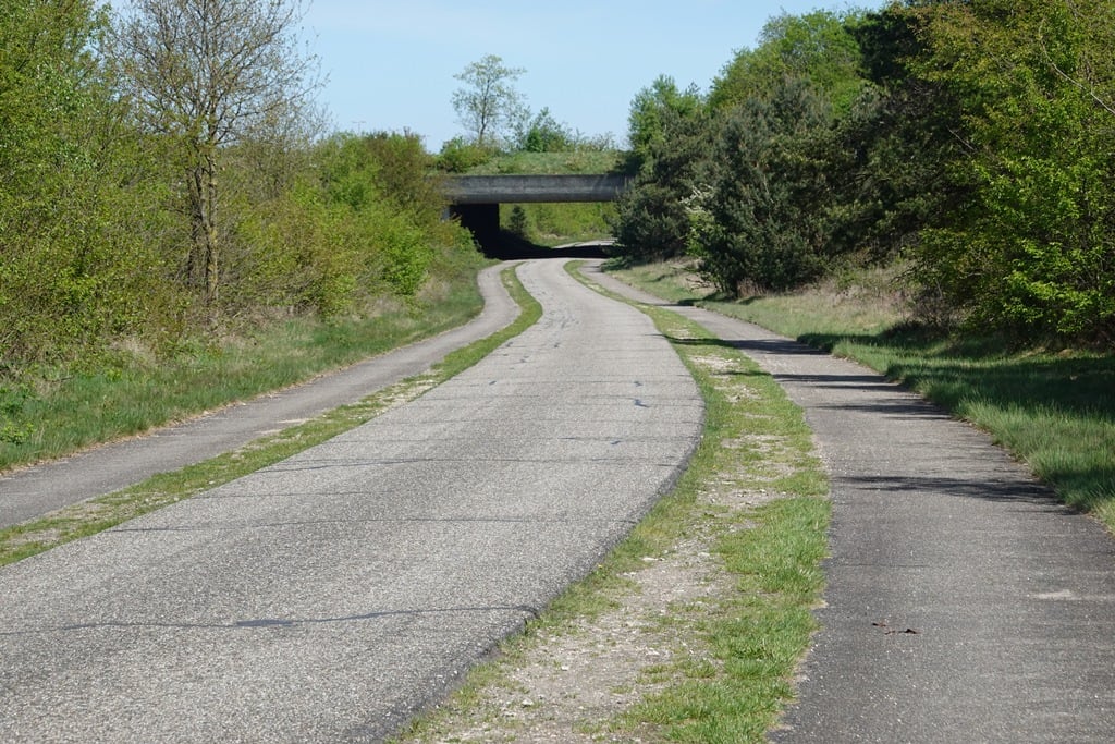
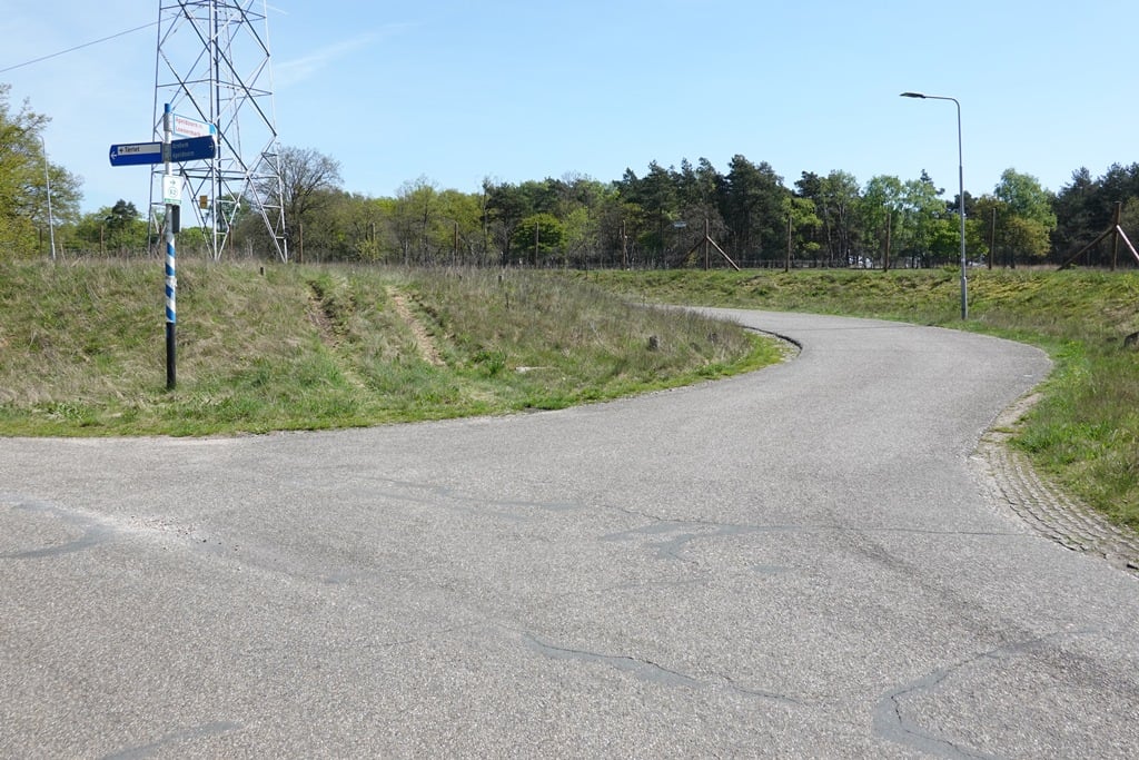
Terlet is a climb in the region Hoge Veluwe. It is 1.7 km long and bridges 32 m of vertical ascent with an average gradient of 2%, resulting in a difficulty score of 8. The top of the ascent is located at 94 m above sea level. Climbfinder users shared 4 reviews of this climb and uploaded 9 photos.
This is an automatic translation, the original language is: Dutch.
Show original
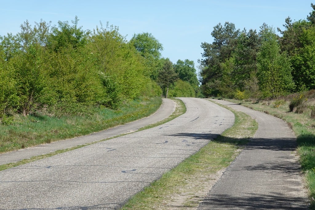
The shortest road from Arnhem to Apeldoorn but not the prettiest. That is not to say it is bad by the way as you have nice views to the right. However, the road creeps upwards so it feels like a long time before you reach the top.
De kortste weg van Arnhem naar Apeldoorn maar niet de mooiste. Dat wil niet zeggen dat het slecht is overigens want je hebt aardig uitzicht over rechts. De weg kruipt echter omhoog waardoor het gevoelsmatig lang duurt voordat je de top bereikt.
This is an automatic translation, the original language is: Dutch.
Show original
What a nasty stretch of false flat this is. You keep nagging uphill along the A50. In the former Tour of Gelderland (and I think in the Giro) there were mountain points waiting on top. Near (gliding) airfield Terlet there seems to be a nice tavern.
Wat een smerig stuk vals plat is dit. Je blijft maar zeurend omhoog gaan langs de A50. In de vroegere Ronde van Gelderland (en ik meen in de Giro) stonden bovenop bergpunten te wachten. Bij (zweef-)vliegveld Terlet schijnt een aardige uitspanning te zijn.
This is an automatic translation, the original language is: Dutch.
Show original
The Apeldoornseweg starts in the centre of Arnhem and eventually climbs to the highest paved point in the Veluwe (I think). This is the last part of that climb. A nasty false flat on some grainy tarmac, but with fantastic views of the Veluwe. At least on the right, on the left the A50 motorway races by, although you do not see it very often. Keep looking to the right and don't be surprised if you see a herd of deer. For a parallel road along a motorway, it doesn't get much better than this in the Netherlands.
De Apeldoornseweg begint in het centrum van Arnhem en klimt uiteindelijk naar het hoogste geasfalteerde punt van de Veluwe (denk ik). Dit is het laatste deel van die klim. Een nijdig vals plat op wat korrelig asfalt, maar met fantastisch uitzicht op de Veluwe. Aan de rechterkant tenminste, links raast de A50 al zie je die niet vaak. Blijf rechts kijken en wees niet verbaasd als je een kudde reeën ziet. Voor een parallelweg langs een snelweg kan het niet veel beter in Nederland.
Share your knowledge. What was the road condition during your ascent?
Traffic
67% 33% 0%
Based on 3 votes
Your experience counts. How much traffic did you encounter during the climb?
Frequently Asked Questions
You don't need special gearing for Terlet. The slope isn't long or steep enough to require much shifting down. You can conquer this climb on power alone. However, a compact gearing system with a smallest front chainring of 34 and largest rear sprocket of 28 or 30 is always nice if you enjoy cycling uphill. This helps maintain a smooth cadence.
Terlet is not tough enough to be assigned a mountain category. This means that even untrained cyclists can reach the top without any problems on this climb.
Terlet is 1.7 km long.
The average gradient of Terlet is 2%.
Terlet has a steepest segment with an average gradient of 4%.
The summit of Terlet is at 94 m.
At a slow pace of 7 km/h, it takes about 00:14:08 to climb Terlet. At 11 km/h the time is 00:09:00, and at 15 km/h 00:06:36. For the fastest cyclists, 00:05:12 is an achievable time.