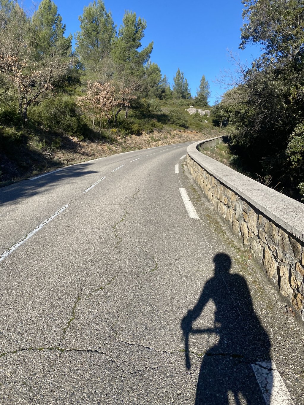
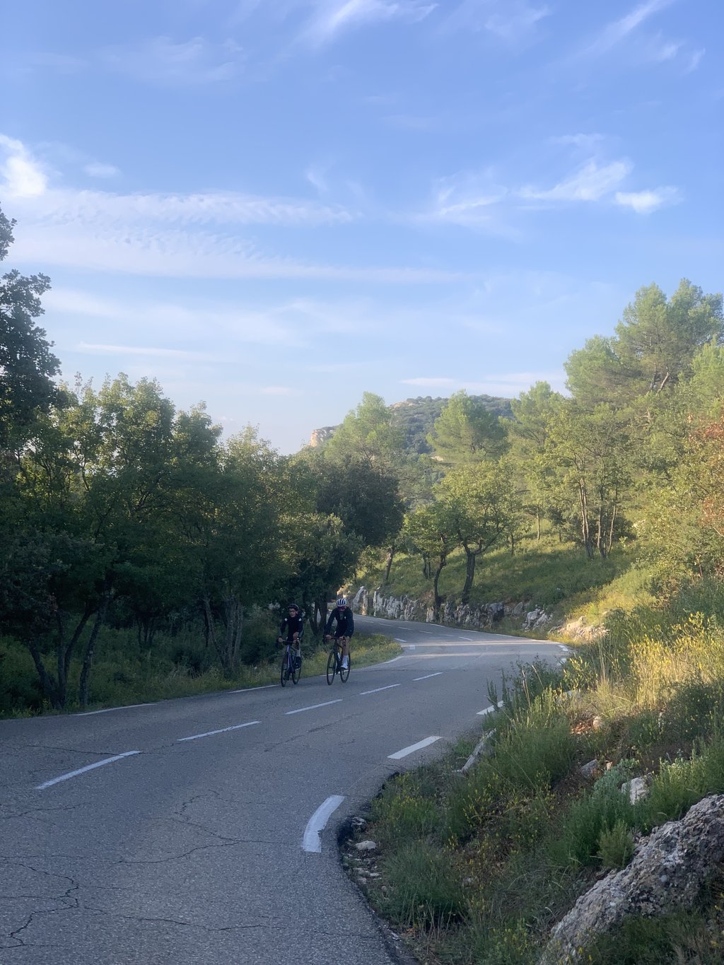
Côte du Pigeonnier is a climb in the region Bouches-du-Rhône. It is 3.5 km long and bridges 193 m of vertical ascent with an average gradient of 5.6%, resulting in a difficulty score of 117. The top of the ascent is located at 425 m above sea level. Climbfinder users shared 2 reviews of this climb and uploaded 4 photos.
This is an automatic translation, the original language is: French.
A pretty little pass, sheltered from the traffic on the main roads. The road is in very good condition and the gradient is even. Very pleasant, but not very long, ideal for beginners. The scenery isn't great, but it's nice all the same....read more
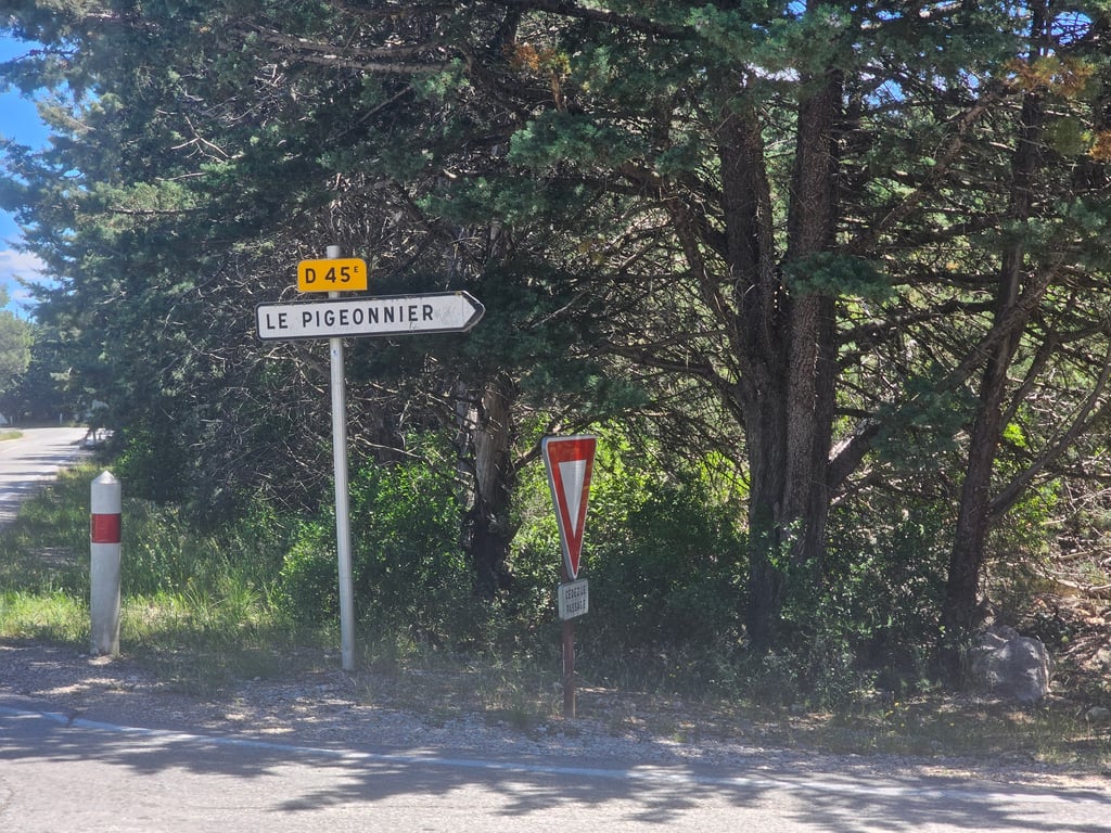
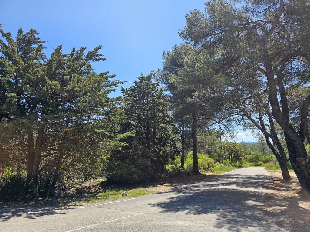
Photos (4)
Welcome! Please activate your account if you would like to share something. Look for the verification email in your inbox.
This is an automatic translation, the original language is: French.
Show original
A pretty little pass, sheltered from the traffic on the main roads. The road is in very good condition and the gradient is even. Very pleasant, but not very long, ideal for beginners. The scenery isn't great, but it's nice all the same.
Joli petit col à l'abris de la circulation des grands axes. La route est en très bon état et la pente régulière. Très agréable, mais pas très long, idéal pour débuter. La paysages ne sont pas grandioses, mais très sympas tout de même.
You don't need special gearing for Côte du Pigeonnier. The slope isn't long or steep enough to require much shifting down. You can conquer this climb on power alone. However, a compact gearing system with a smallest front chainring of 34 and largest rear sprocket of 28 or 30 is always nice if you enjoy cycling uphill. This helps maintain a smooth cadence.
Côte du Pigeonnier is a 4th-category climb. A sprint to the top is usually not an option, and untrained riders will definitely feel it in their legs. For trained cyclists, it is a great training climb.
Côte du Pigeonnier is 3.5 km long.
The average gradient of Côte du Pigeonnier is 5.6%.
Côte du Pigeonnier has a steepest segment with an average gradient of 8%.
The summit of Côte du Pigeonnier is at 425 m.
At a slow pace of 7 km/h, it takes about 00:29:41 to climb Côte du Pigeonnier. At 11 km/h the time is 00:18:53, and at 15 km/h 00:13:51. For the fastest cyclists, 00:10:56 is an achievable time.